Hello, everyone!
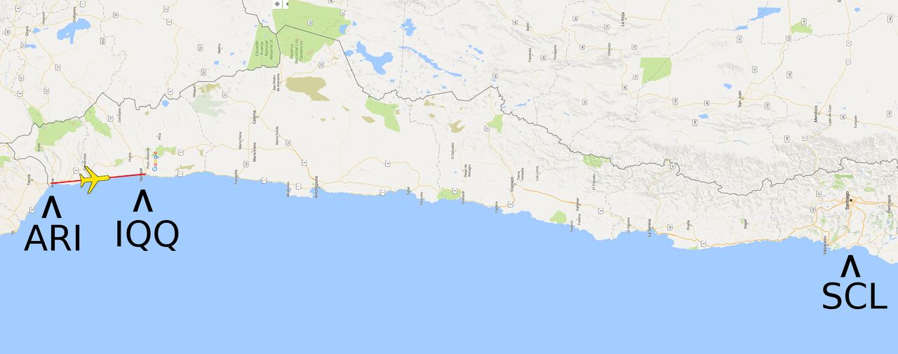
As part of my journey around the north of Chile, this time I'm boarding my plane at Chacalluta airport, which serves the city of Arica, only a few kilometers from the border with Peru.
This is my second time in Arica. This time I'm here de pasadita (in a quick visit) for a day tour to lake Chungará in the Altiplano, the 4500-meter-high flat land near the border with Bolivia.
Let's start with a (not so) brief pre-flight tourism bonus and some nice views of the mountains. Even though we will travel across the warm desert, get ready for some chilling views!
This is leg 3 of 7 of my trip:
If you like, you can also read the reports for legs 1, 2, 4, 5, 6, and 7.
Pre-flight bonus: Atacama desert and lake Chungará
Since my headquarters (my cousin's apartment) are in Iquique, about 200km south of Arica, I take a bus to Arica in order to see the huge quebradas (canyons) that cut through the endless desert plains from east to west like deep, green wounds between these two cities.
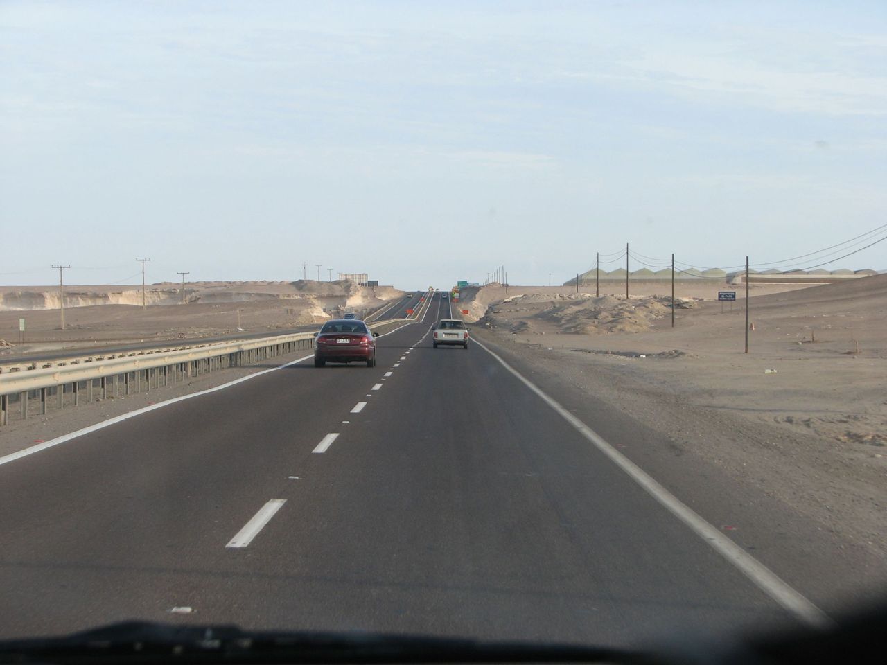
The monotonous bus ride across Atacama desert takes around five hours. All you see for hundreds of kilometers is this:
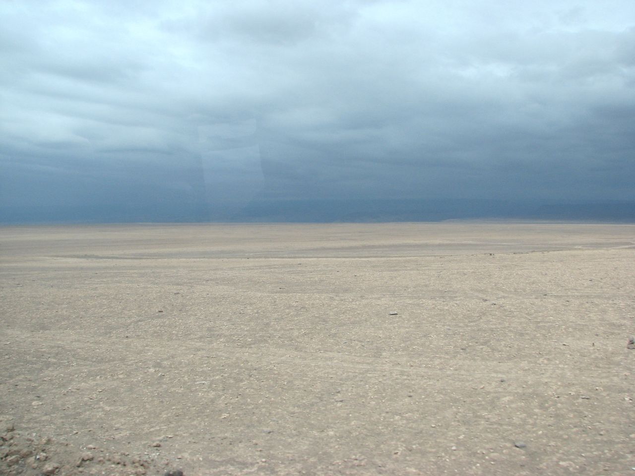
My advice: take a lot of reading materials or some sleeping pills with you.
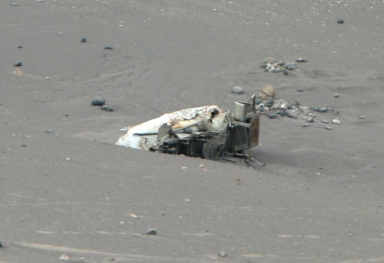
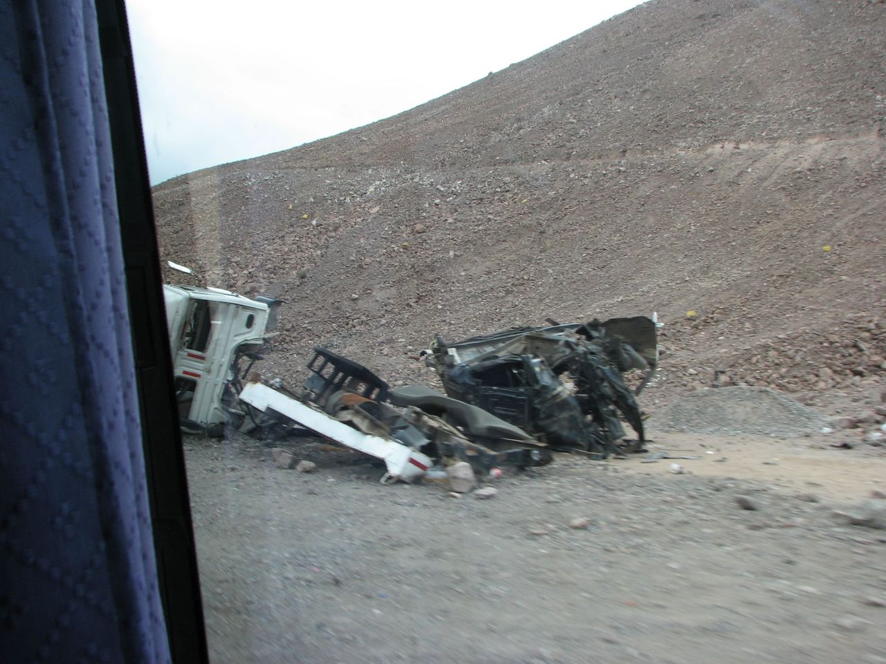
The road is well kept, but the monotonous geography can be tricky. Some drivers fall asleep, and some get tempted to speed up in the almost deserted road. There are MANY accidents.
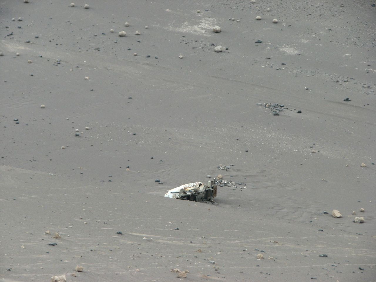
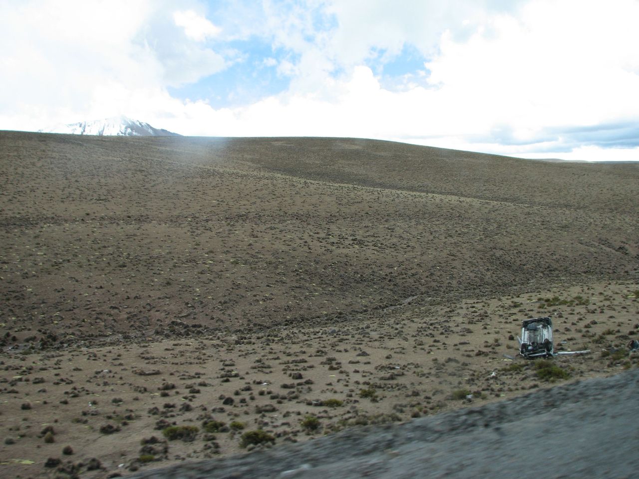
I saw countless wrecked cars and trucks along the way.
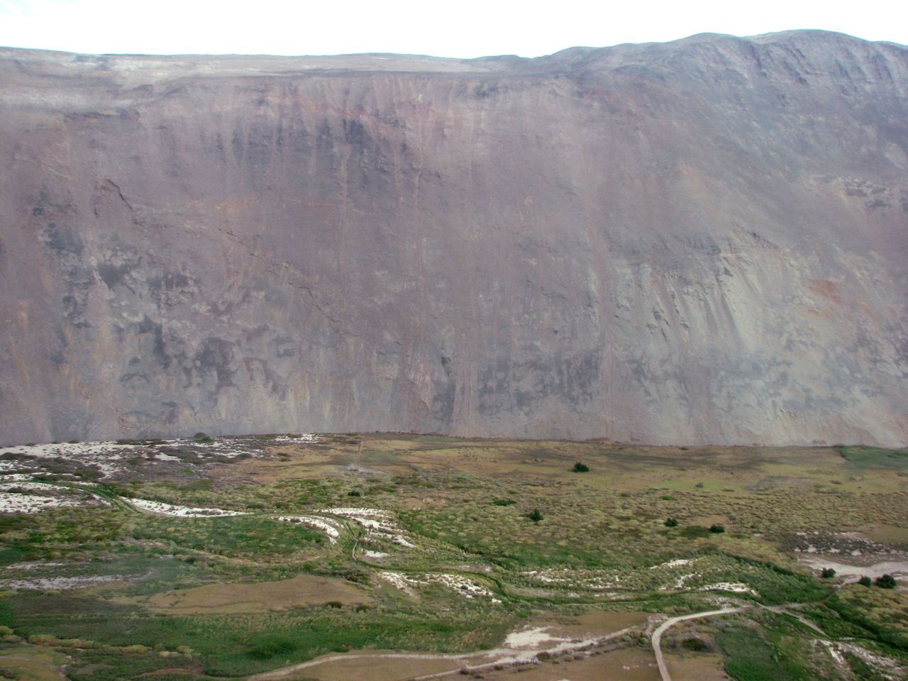
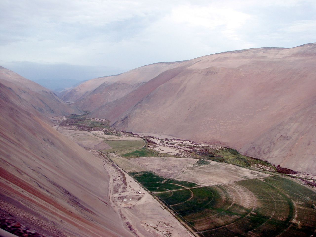
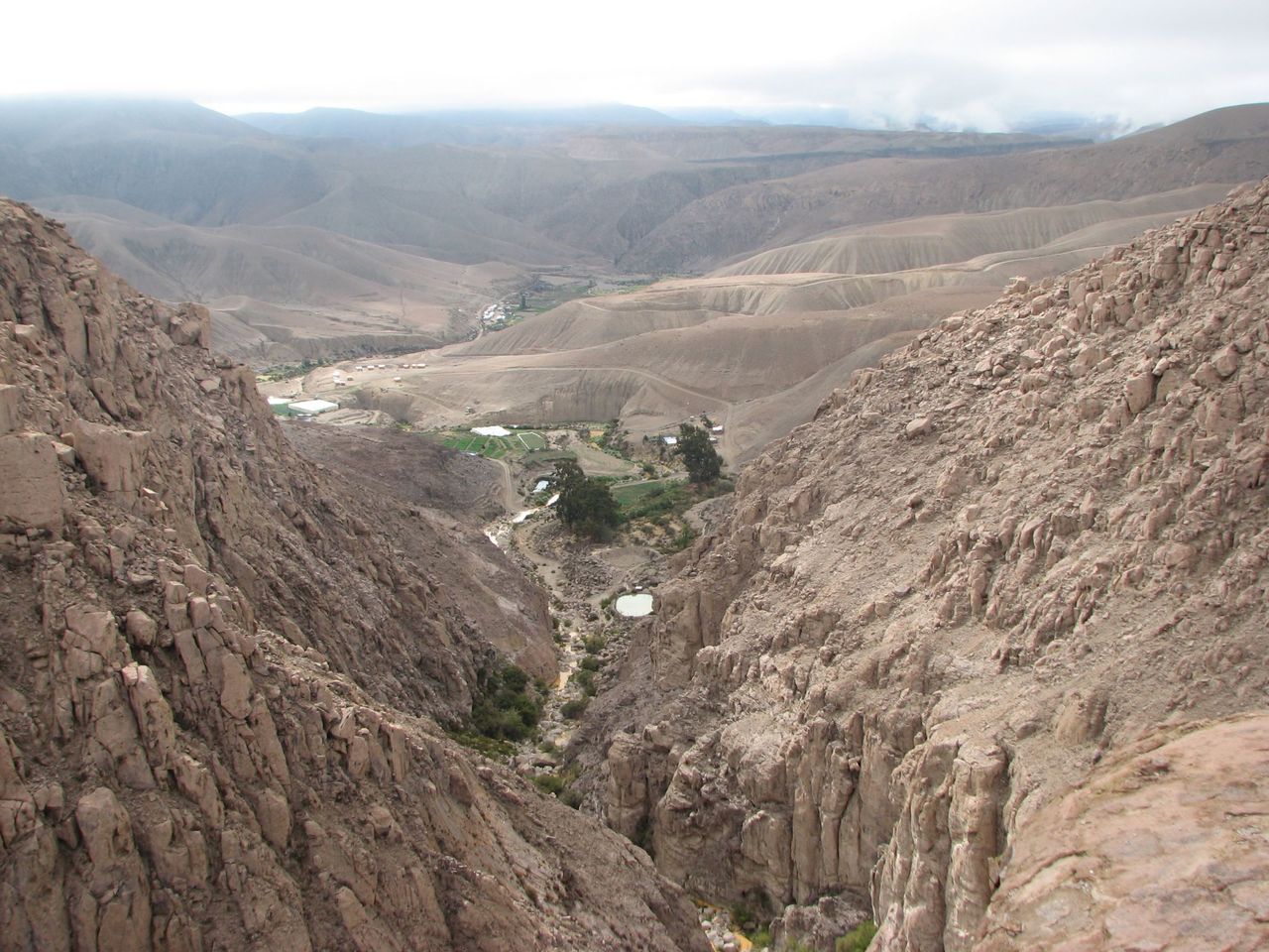
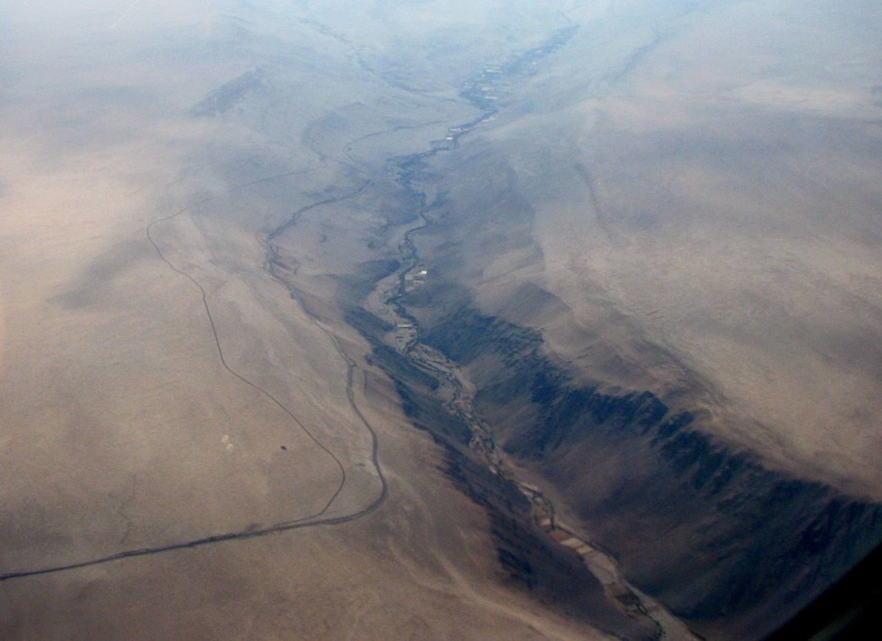
Roughly every 40km the road starts a long descent down a smooth hillside. It's a quebrada. At its bottom there's a narrow valley where some plants thrive by a tiny river.
This is what a quebrada looks like. A flat valley flanked by steep, smooth walls. This one in particular is the Quebrada de Camarones, carved through millions of years by that little river, the river Camarones.
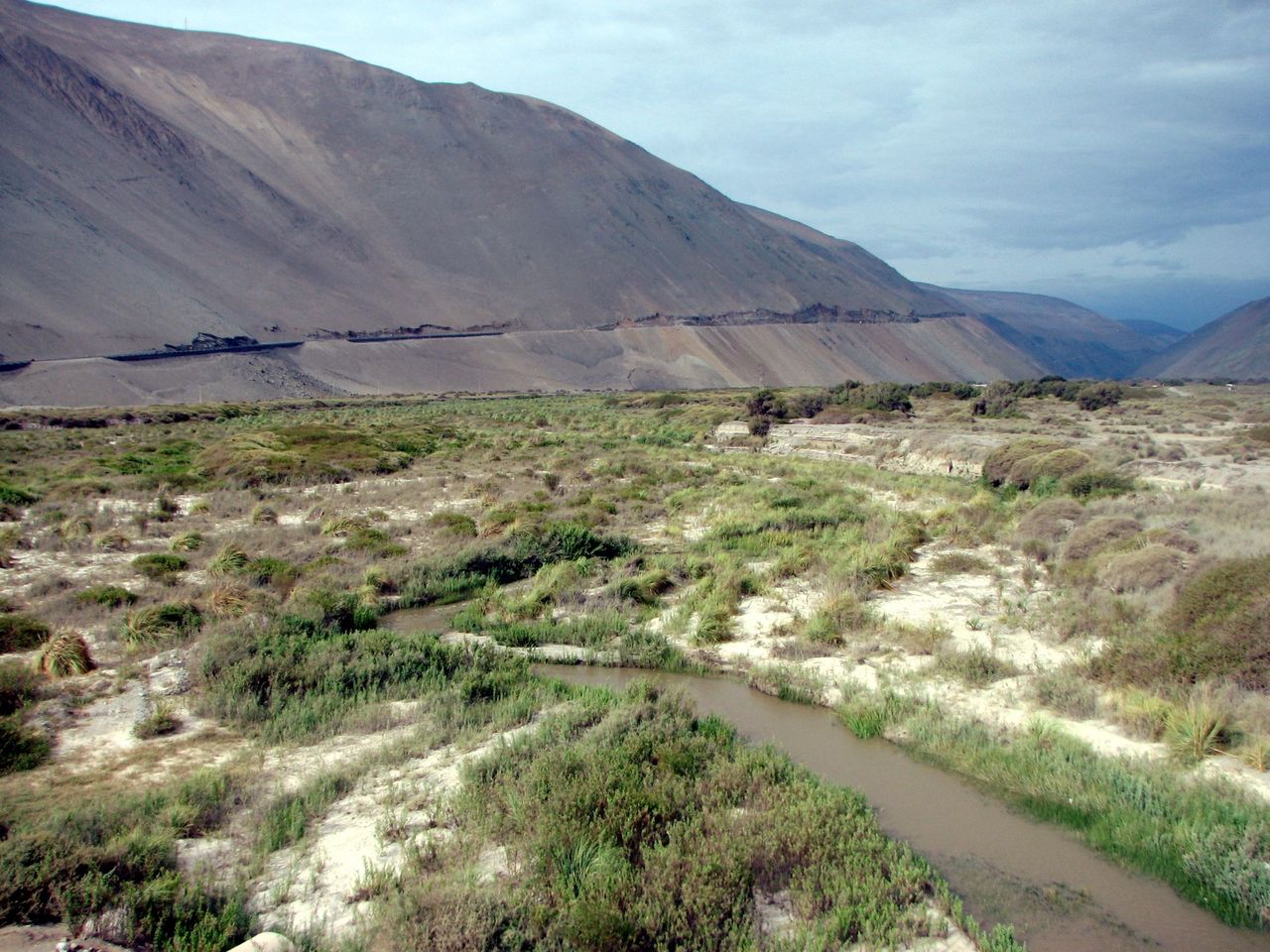
The contrast is shocking: life / no life.
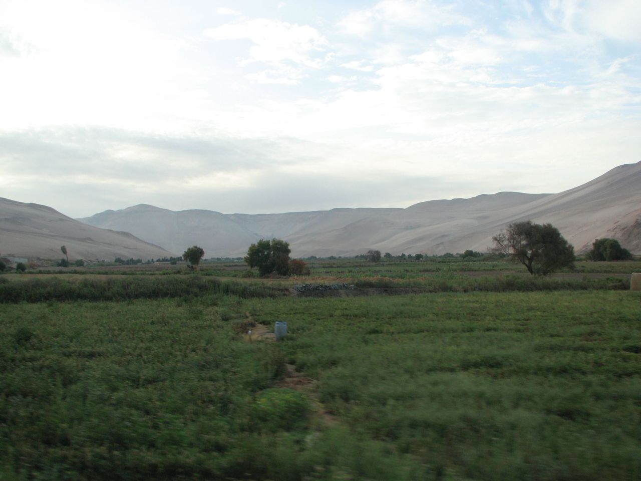
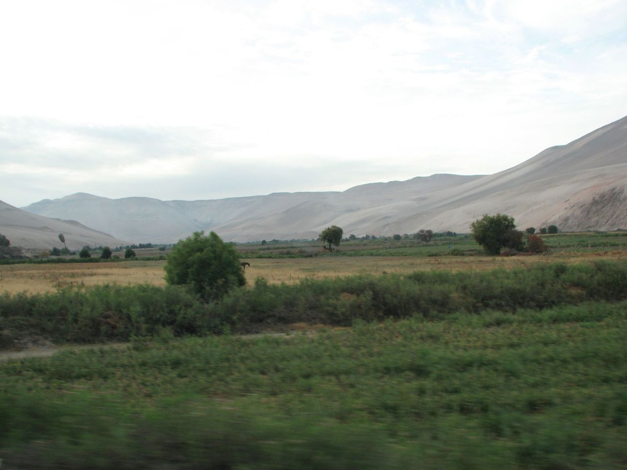
We keep going north up the hillside, leaving the little river Camarones behind, and also the small town of Cuya.
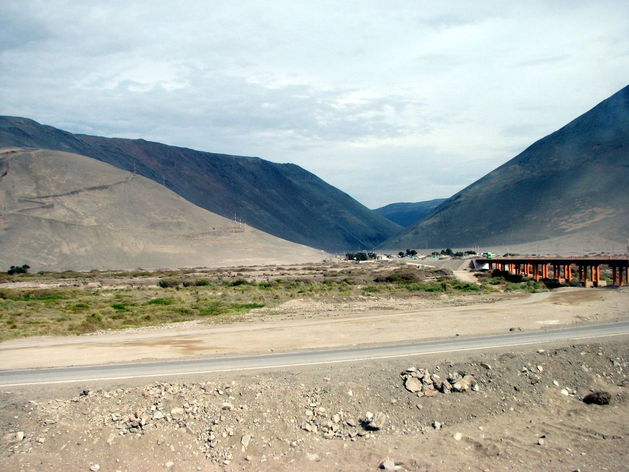
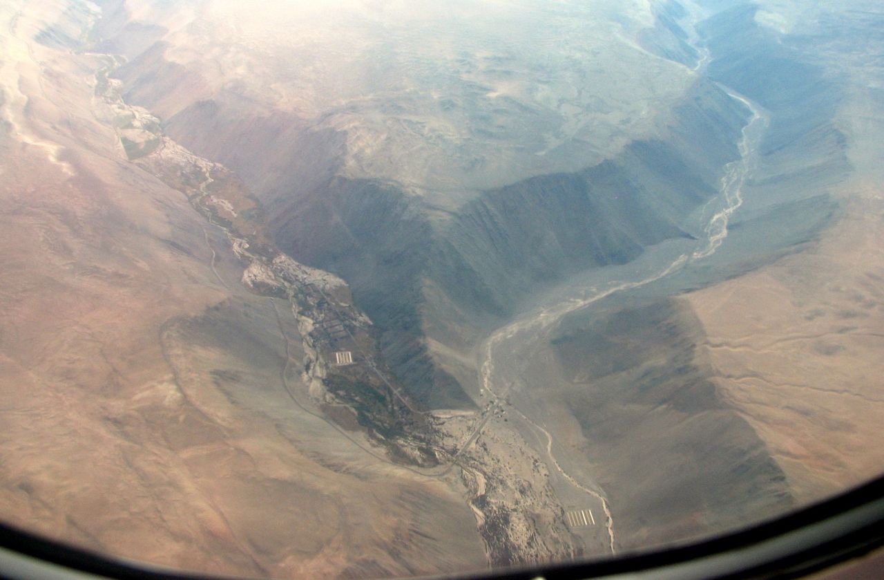
A view of the Quebrada de Camarones…
…as we climb back to the flat desert.
When I arrive in Arica in the evening the weather is suffocating. Thank goodness I'll be here for one day only.
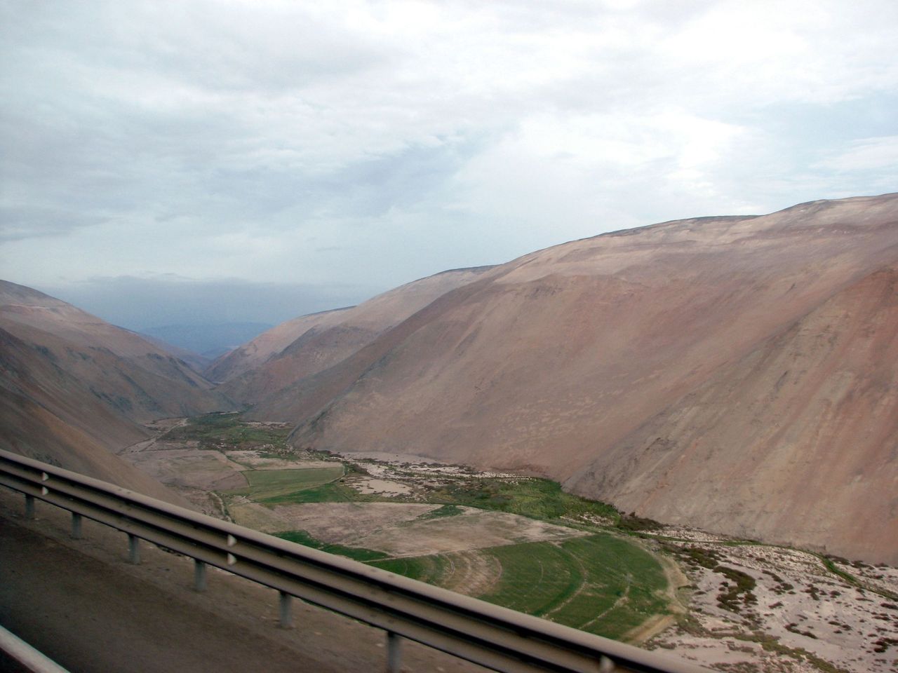
The next morning, the tour operator's van fetches me at 7:30. We drive east along the Lluta valley…
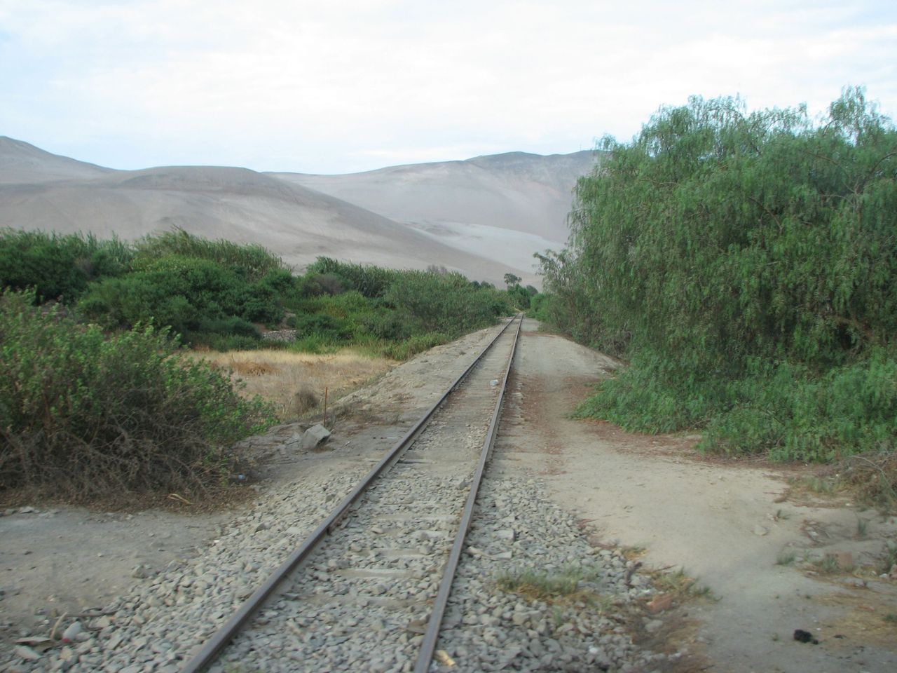
…across the Lluta river…
…and across the Arica - La Paz railroad. The border between Chile and Peru runs parallel to this railroad, 10km north of it.
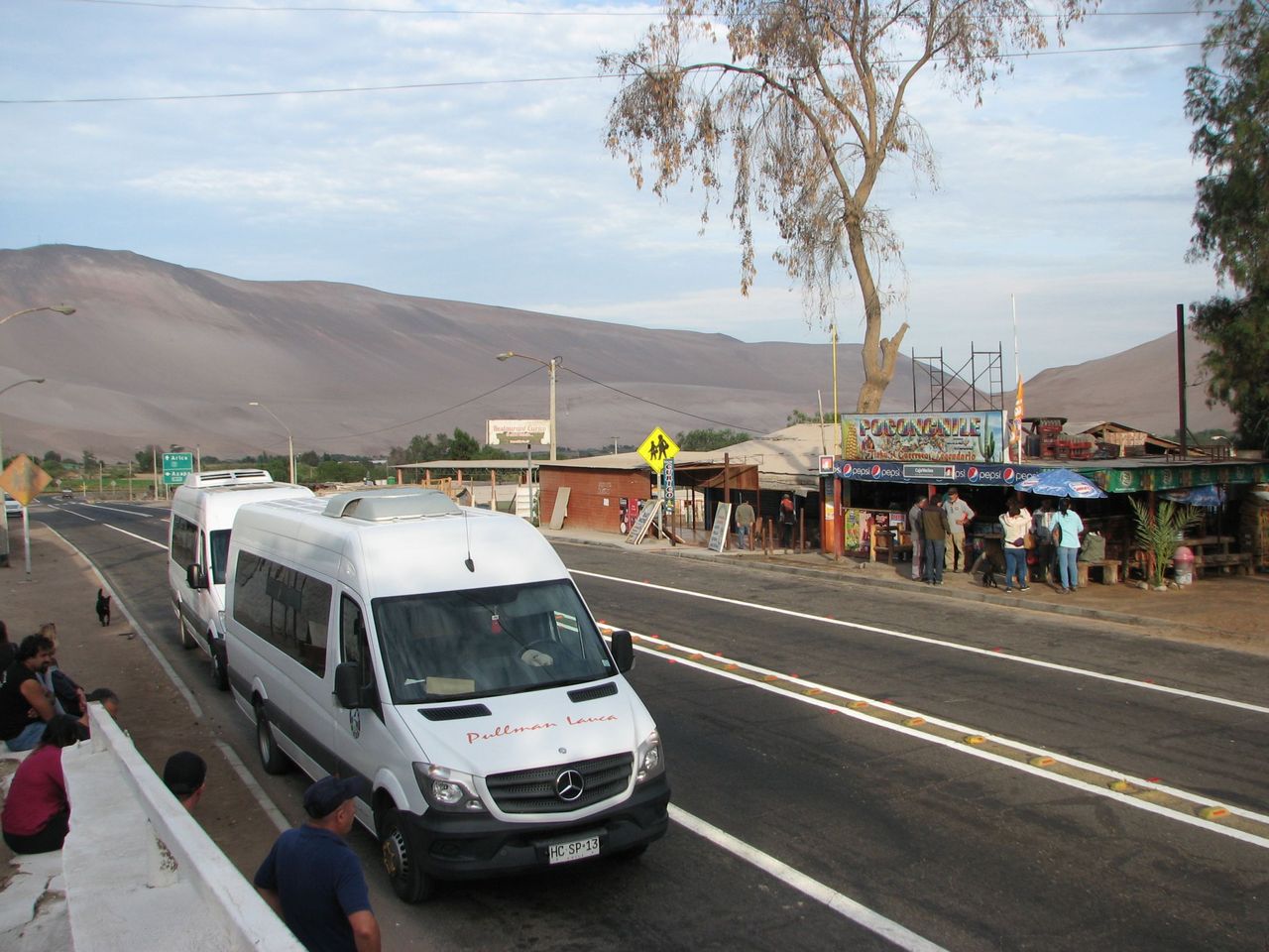
After a quick stop at this roadside shop…
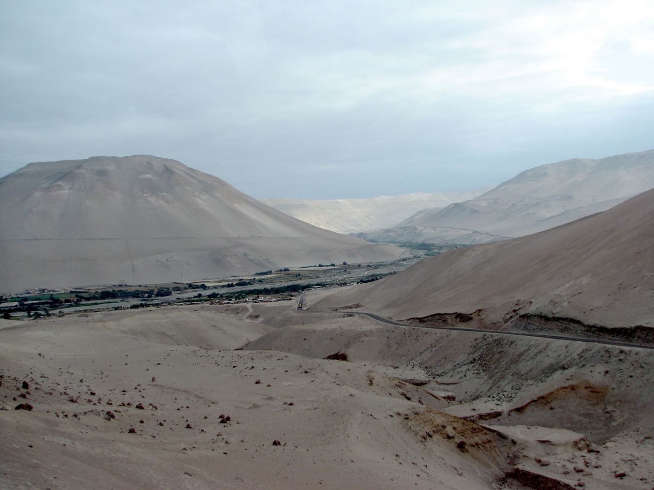
…we leave the Lluta valley behind and climb the hillside towards the flat desert.
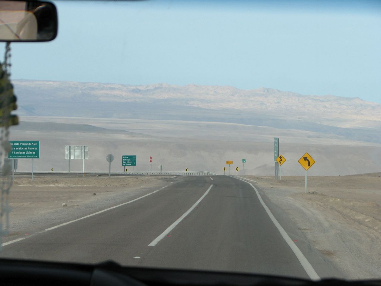
Some minutes later we come to this crossroads. Right ahead is Azapa valley. To the left, a road that was not in the original plans.
That sign on the left makes me raise an eyebrow. "Only smaller vehicles and light trucks"??? Why is that?
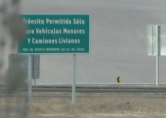
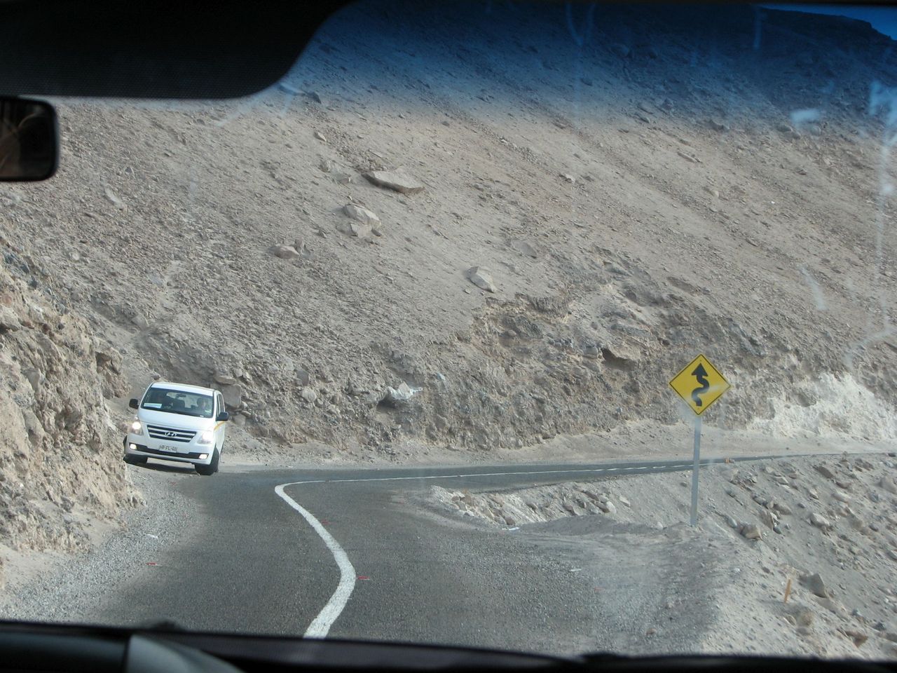
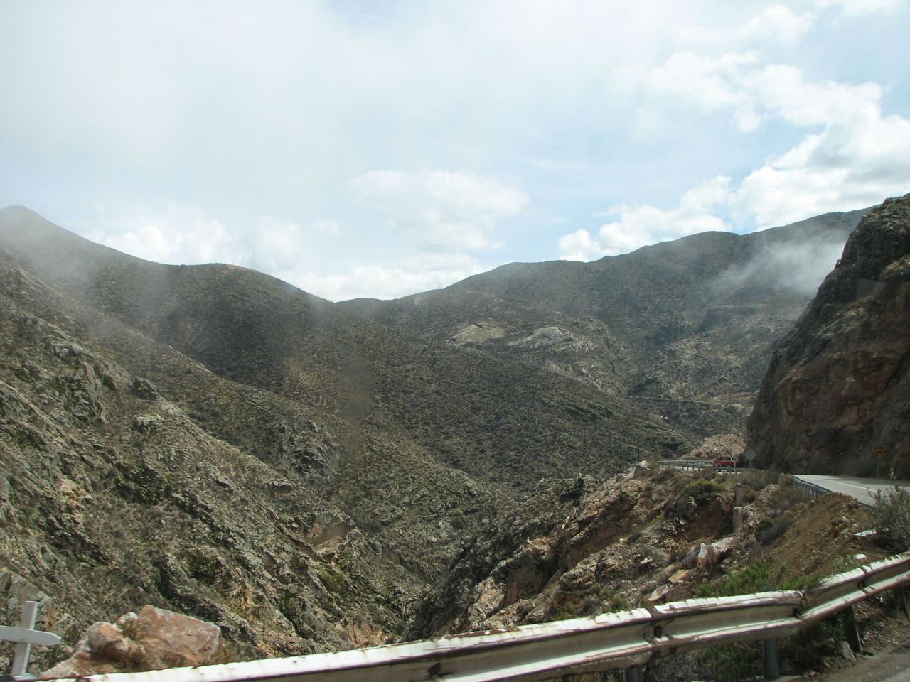
Much to my horror, there are works on the main road along the Lluta valley. So, in order to get to lake Chungará early, we take this… (what will I call it?) "paved path" bordering a cliff!!
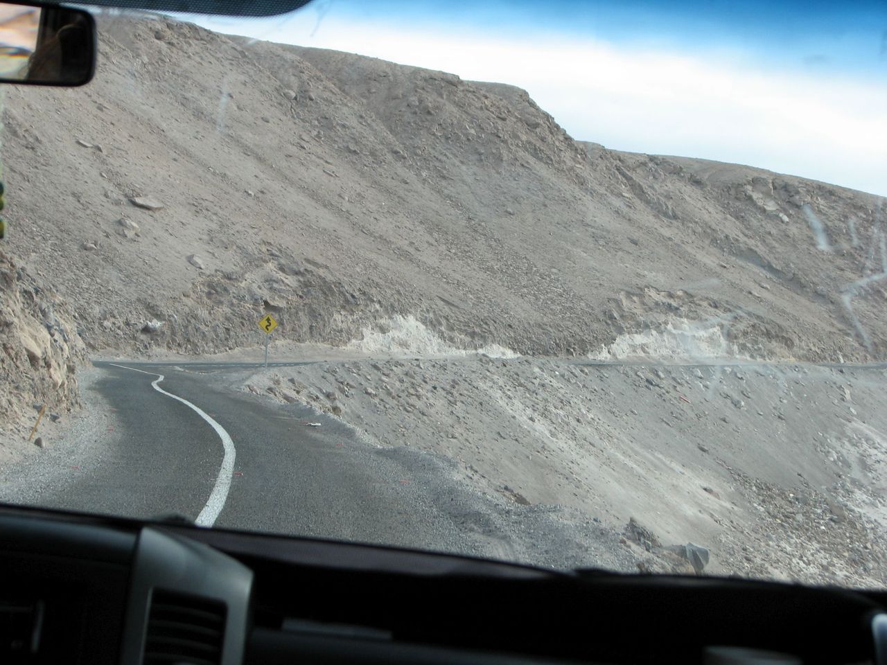
It's so narrow that cars coming the opposite way have to pull over to let us pass.
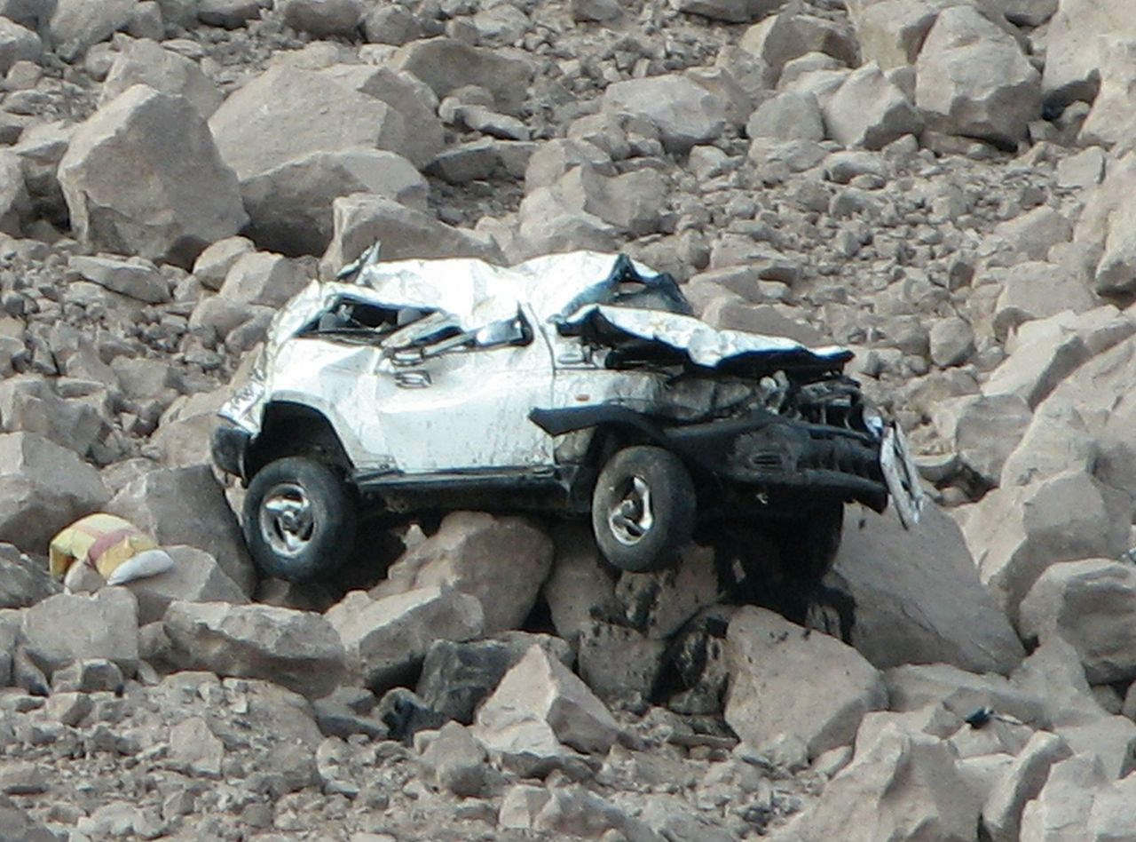
Is it really dangerous? Ask the three teachers who were coming down the path in that car (bottom right) last December to celebrate New Year in Arica.
Close up.
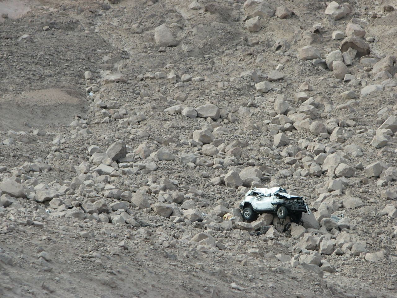
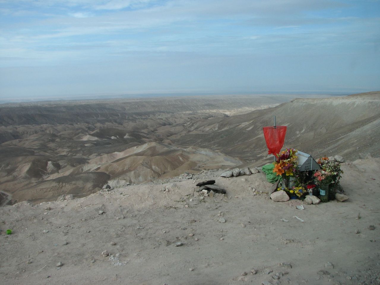
This animita (a small commemorative temple) marks the place where they died.
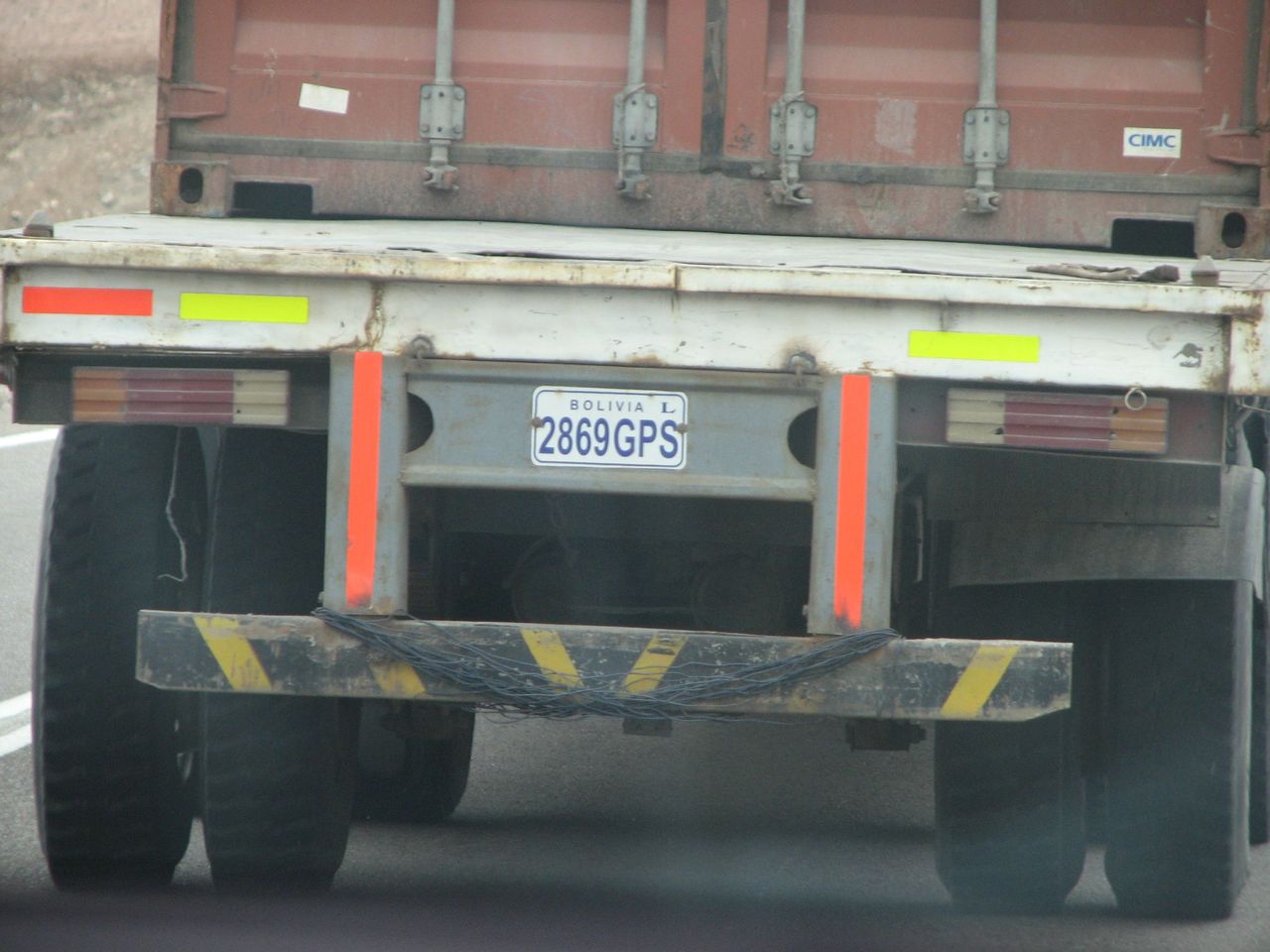
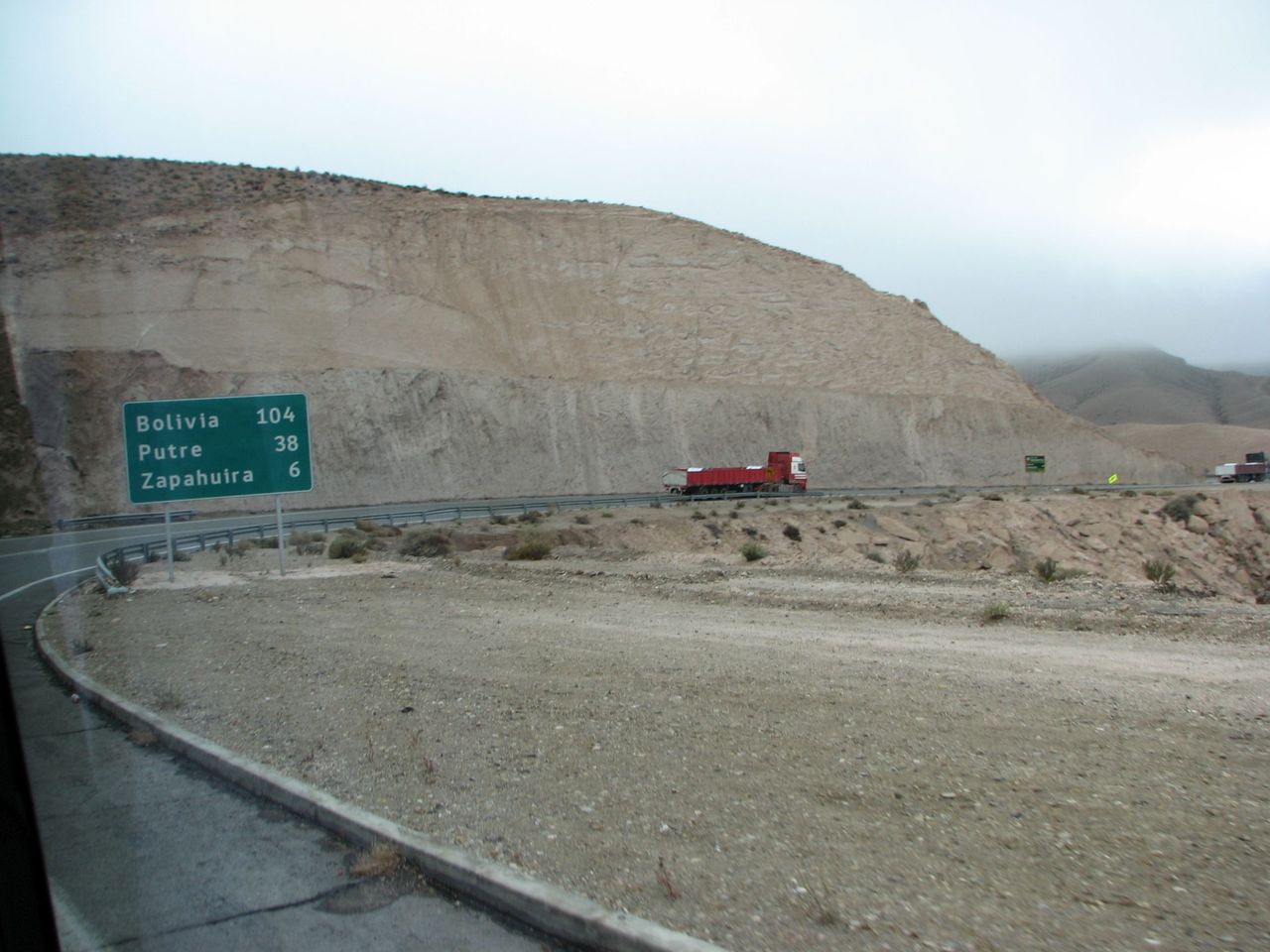
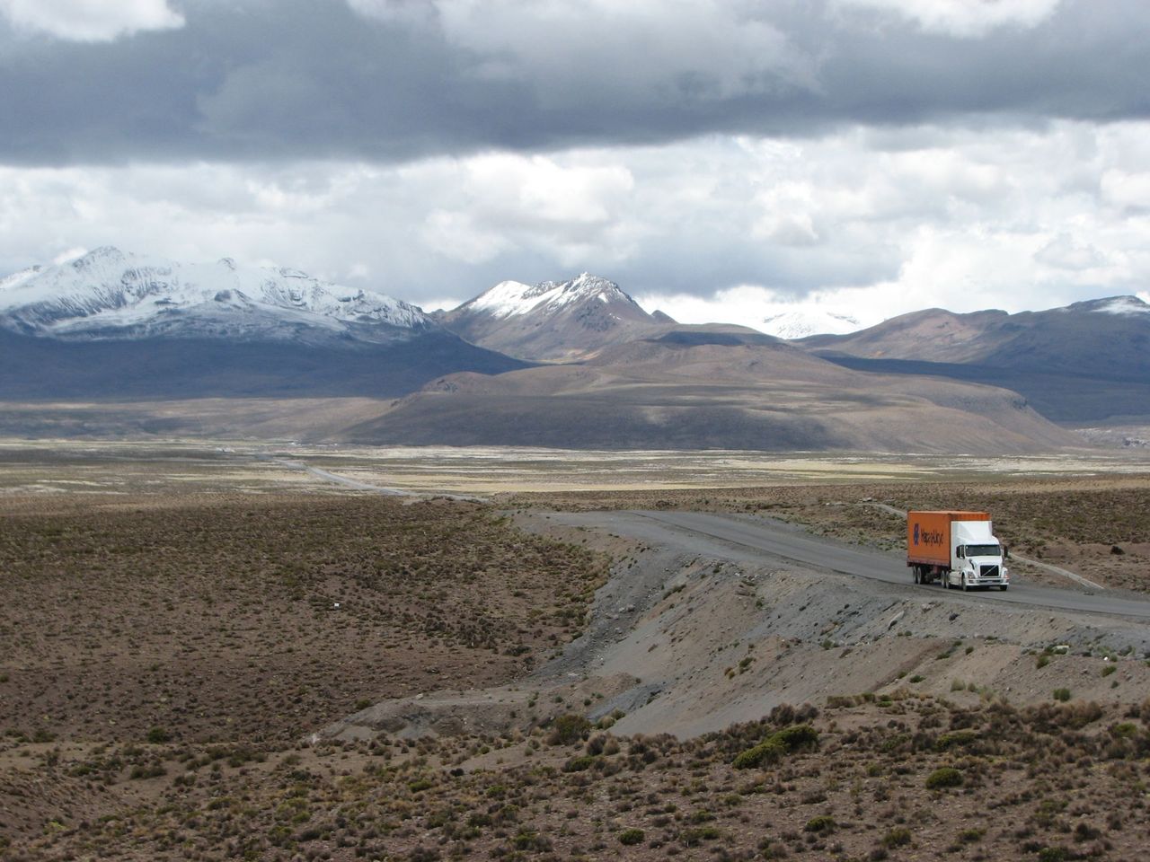
I sigh in relief when we get back on the main road. Hundreds of trucks from Bolivia use this road daily. Chile is obliged by a treaty to grant Bolivia free access to the sea and some ports, including Arica. Bolivians only pay for loading and unloading their products. According to the treaty, this is forever.
Well, some don't make it to the port.
Cactus candelabro (Browningia candelaris).
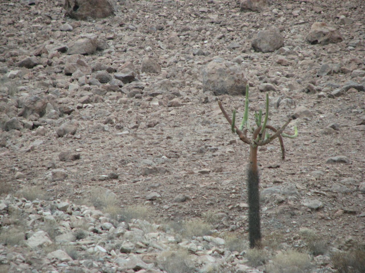
The guide explains that we have reached 2000 meters above sea level. These cacti grow between 2000 and 2800 meters only.
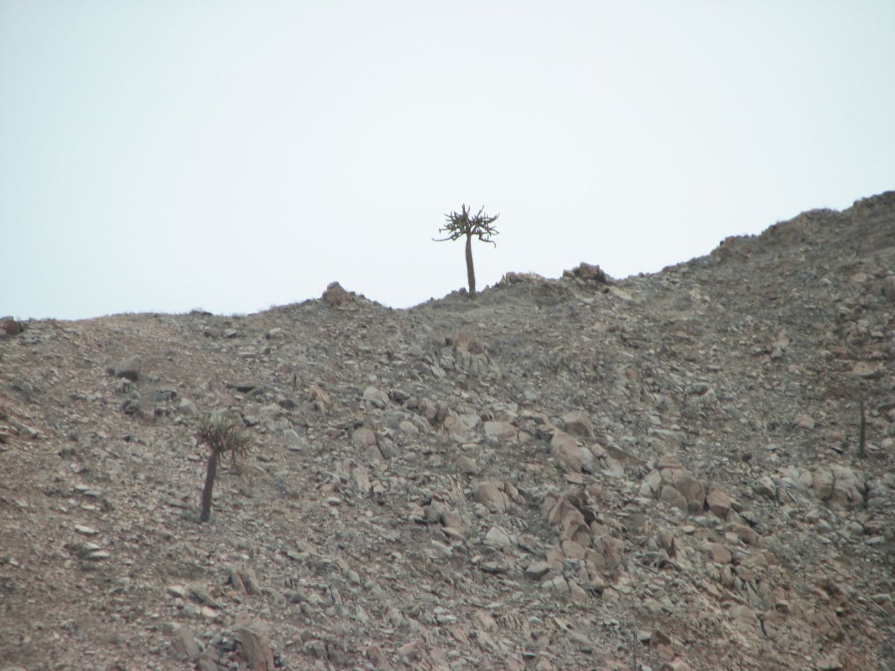

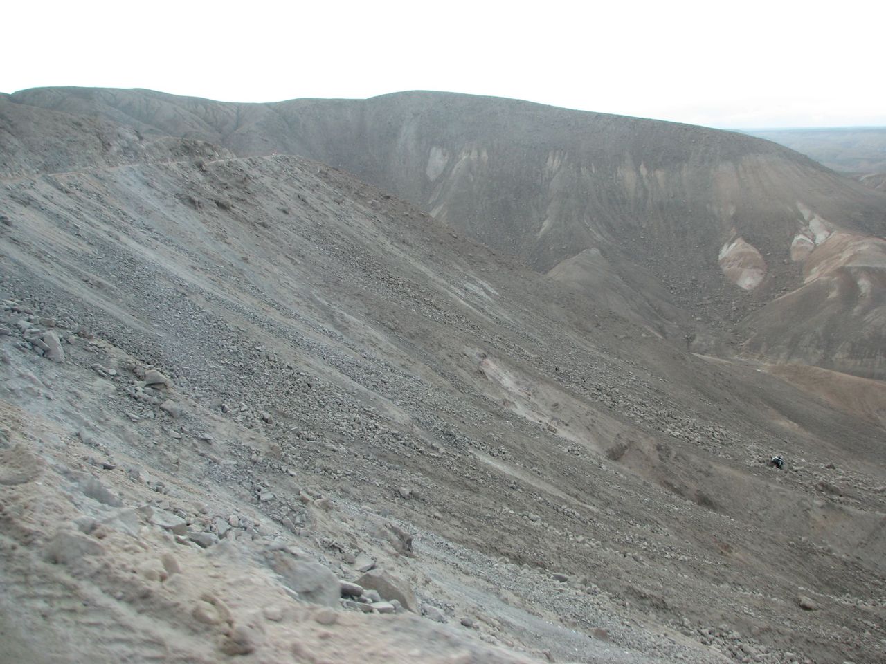
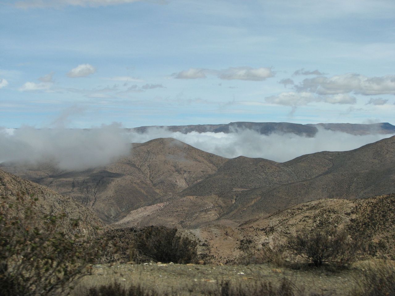
These are the last reaches of the Atacama desert. As we climb towards the Altiplano, the terrain becomes less sandy and more rocky.
Then we get to a place called Copaquilla. It used to be a pucará, a small pre-Hispanic fortress. Not much of it remains nowadays…
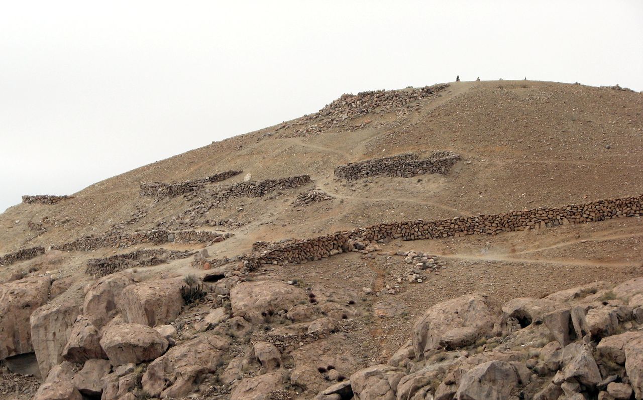
…but the sight is great.
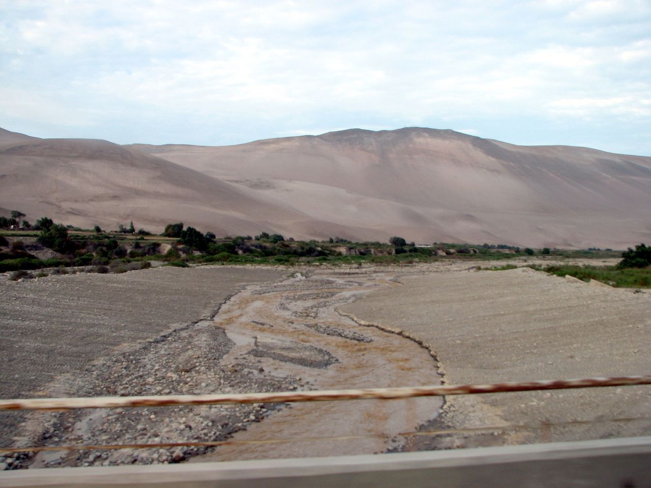
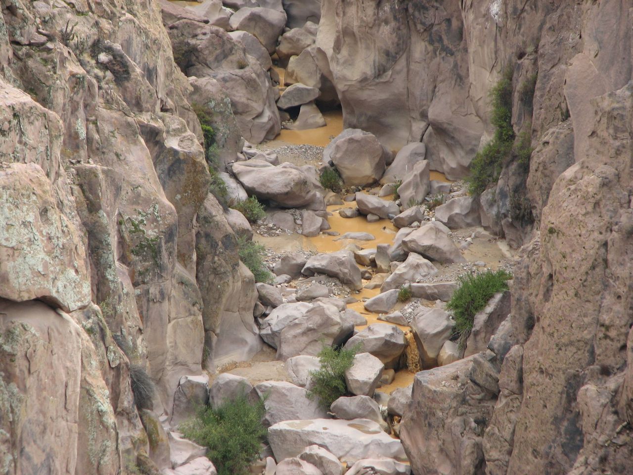
And there's a yellow river!!
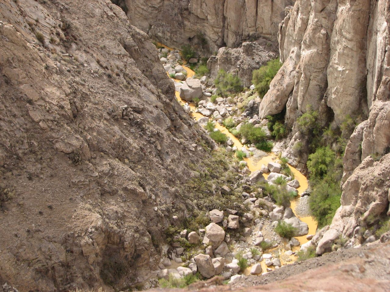
Is all this beauty a gift from Mother Nature, or toxic waste from the mines such as lead, cadmium, cianide and arsenic? I ask the guide and he doesn't give me a clear answer, but for some reason he wants to get out of there soon.
Some minutes later we make it to the town of Zapahuira.
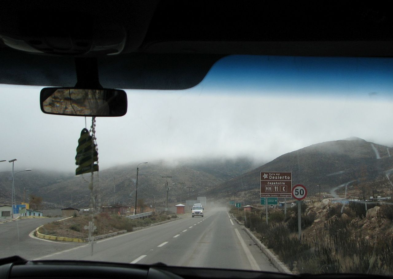
We'll have breakfast at this restaurant, which caters mainly Bolivian truck drivers and the ocassional flight-reporter visiting lake Chungará.
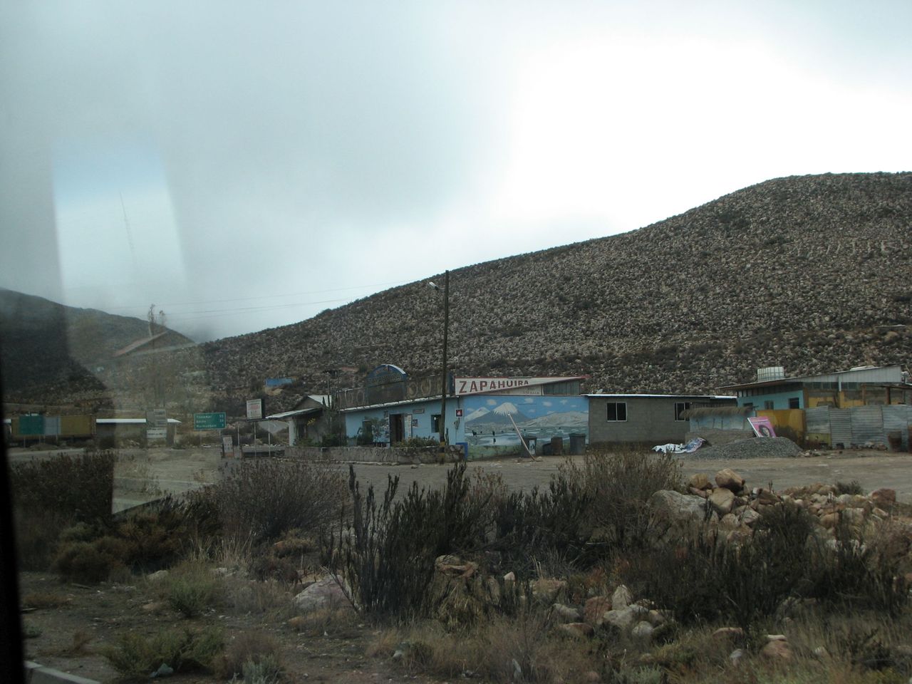
Zapahuira is a God-forsaken town like all towns around here, but the bathrooms at this restaurant are incredibly clean and tidy. Thank goodness!
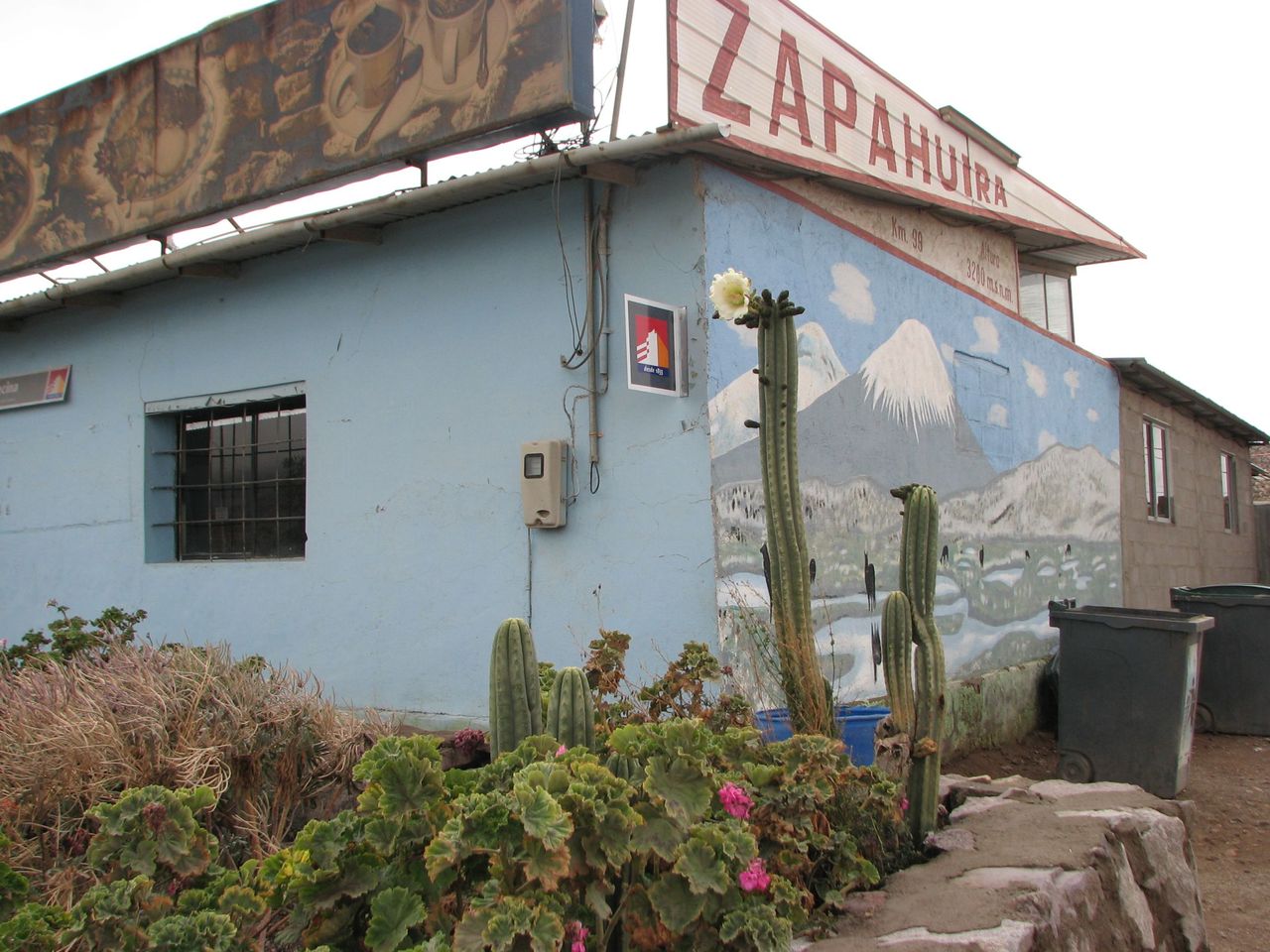
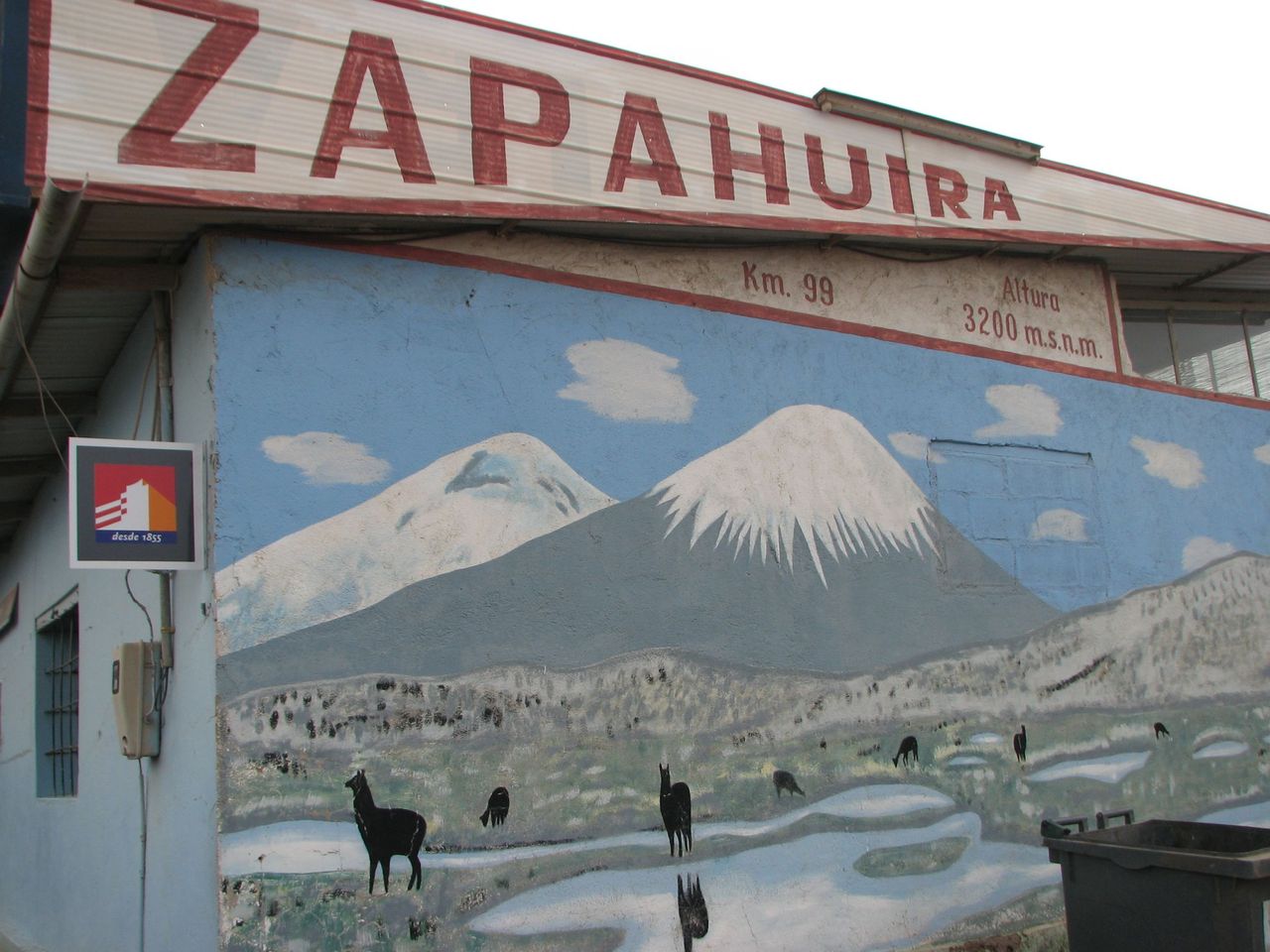
We are 99km from Arica, at 3200 meters above sea level.
Amazing! It looks very clear inside thanks to the long skylight at the back. Unusual detail in small towns like this. Great idea! And there's more.
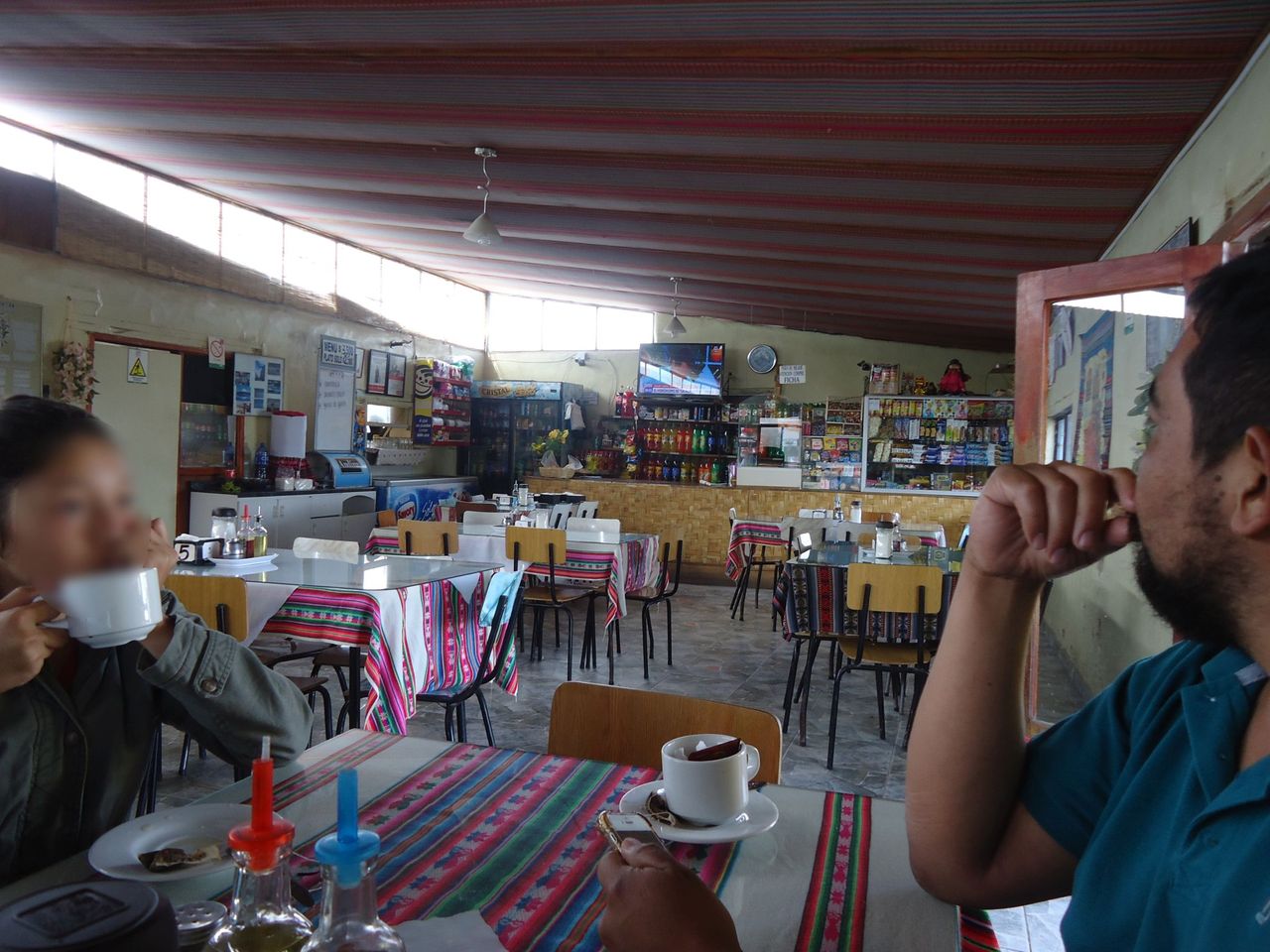
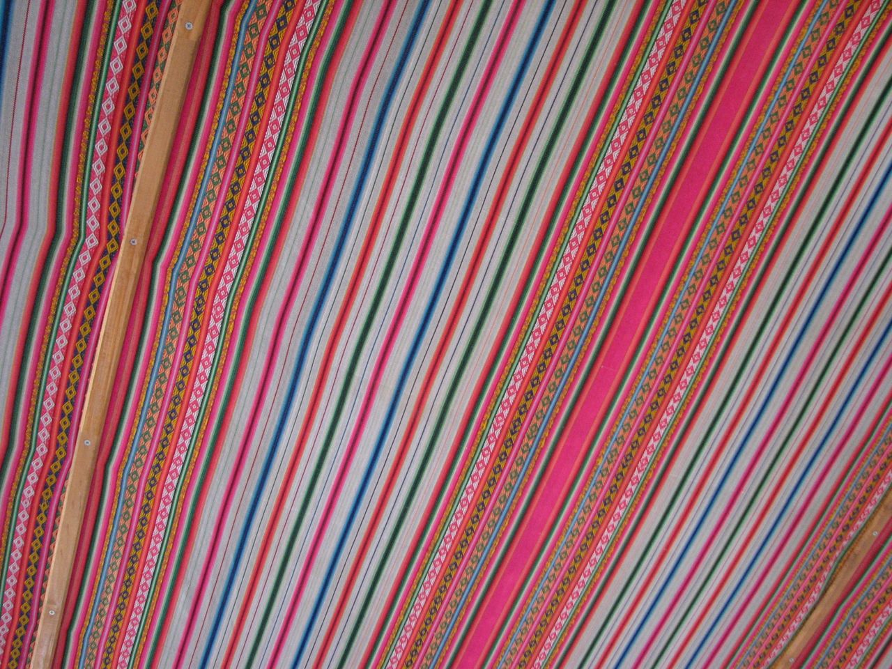
Look at the ceiling! It's covered in aguayo, a kind of textile that's traditional in Peru, Bolivia and the north of Chile. BTW, covering walls with fabric instead of wallpaper is a great idea. I tried it in my mother's bedroom and it looks gorgeous. Besides, when it gets dirty you can just peel it off and wash it!
Remember we are 3200 meters up in the mountains. Being a seasoned air traveller you must know that a number of funny things happen outside and inside of your body as you go higher. Besides the lack of oxygen, your blood vessels (and everything inside you) want to explode because of the low pressure outside. This might cause some physical discomfort. Nothing serious. Only a splitting headache, and probably nausea, vomiting… and perhaps a deadly brain edema.
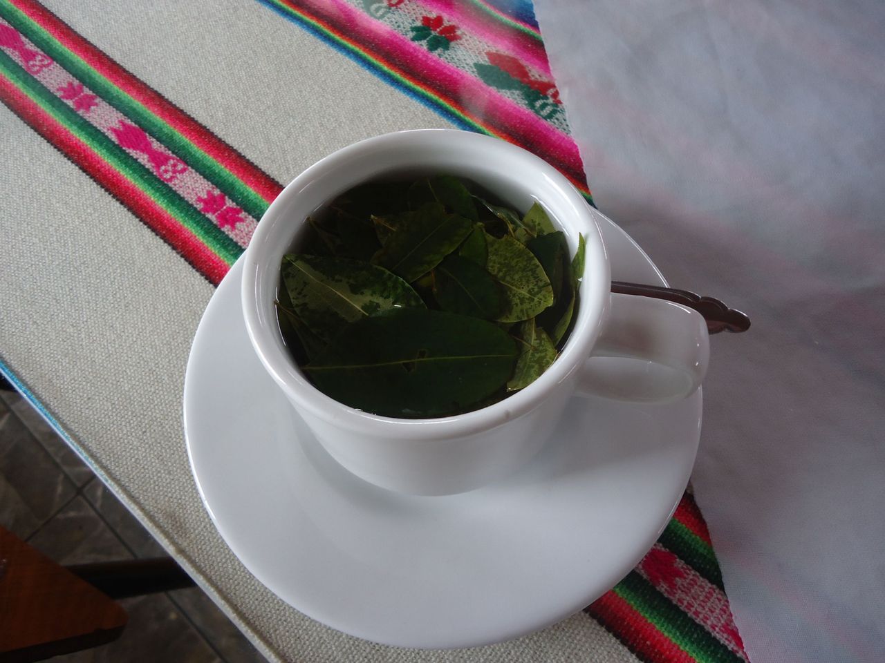
Luckily, the medicine grows right here and is widely available in all the South American countries where height is part of the everyday life: coca leaves!
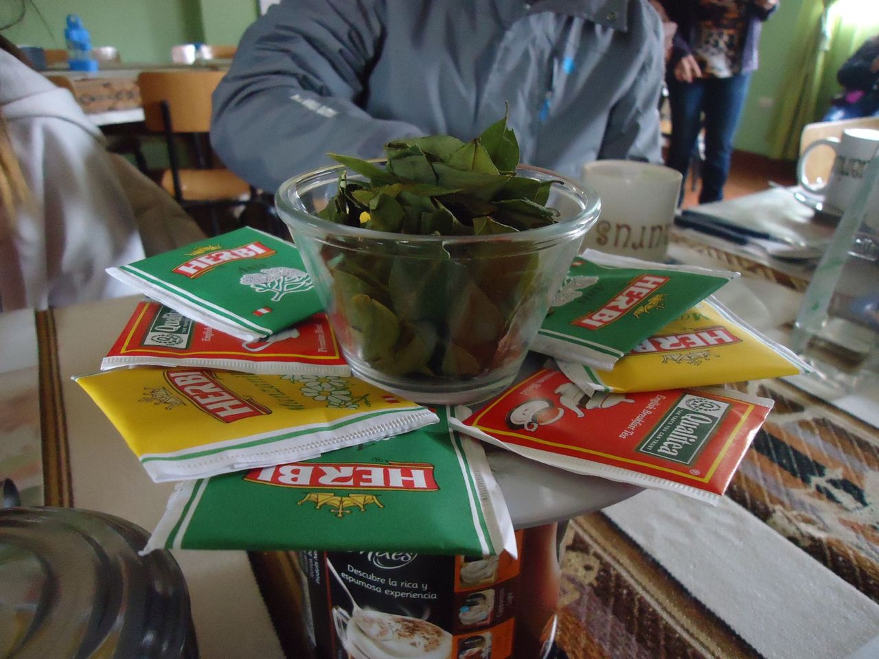
Well used, coca leaves are a phenomenal relief for altitude sickness. They were served along with normal tea and herbal tea in all the places where we stopped. The flavor is nice. It's just like a herbal tea. When I was in La Paz years ago I didn't have anything for altitude sickness and I felt I was dying. This time I felt completely OK. And no, I didn't see pink elephants. ^^
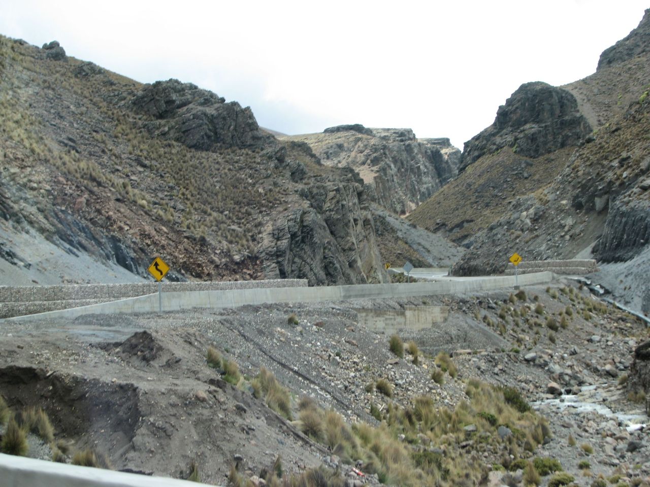
After this, er… energizing breakfast, we continue our road towards lake Chungará, up these rocky moutains.
It's a winding road among the clouds. The weather forecast says that it's going to rain today, but it seems we are lucky.
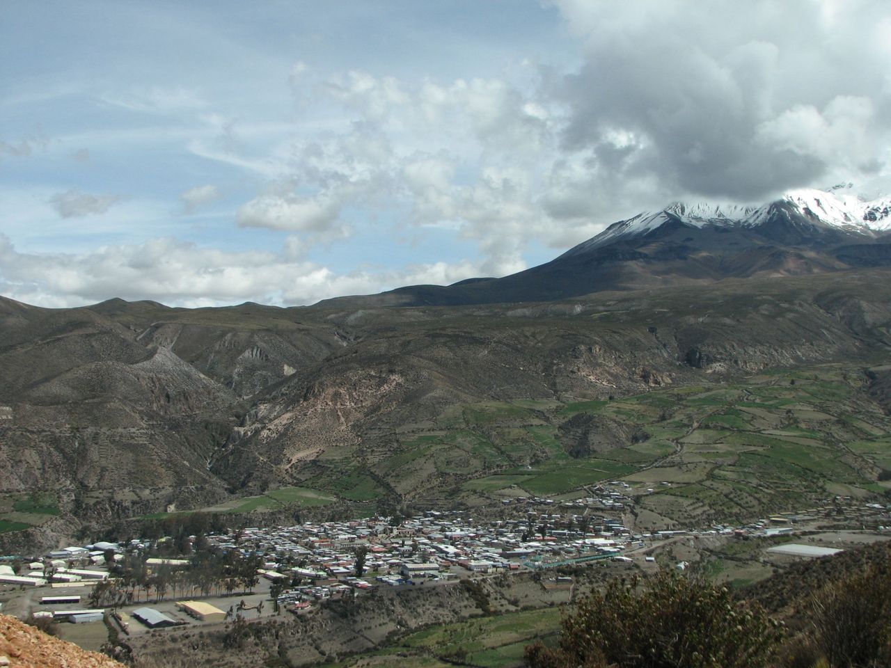
Some minutes later we arrive in Putre, the last large town before lake Chungará. Mount Taapacá in the background.
Oregano and alfalfa are some of the main crops in Putre.
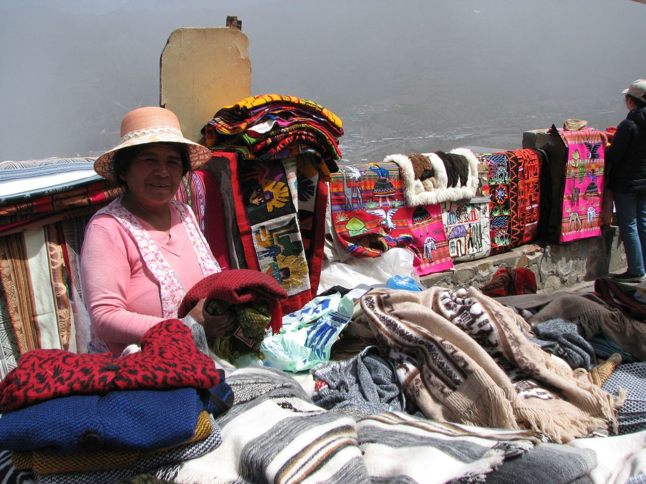
We stop for a while at a lookout where souvenirs and a lot of stuff made from alpaca-wool are sold.
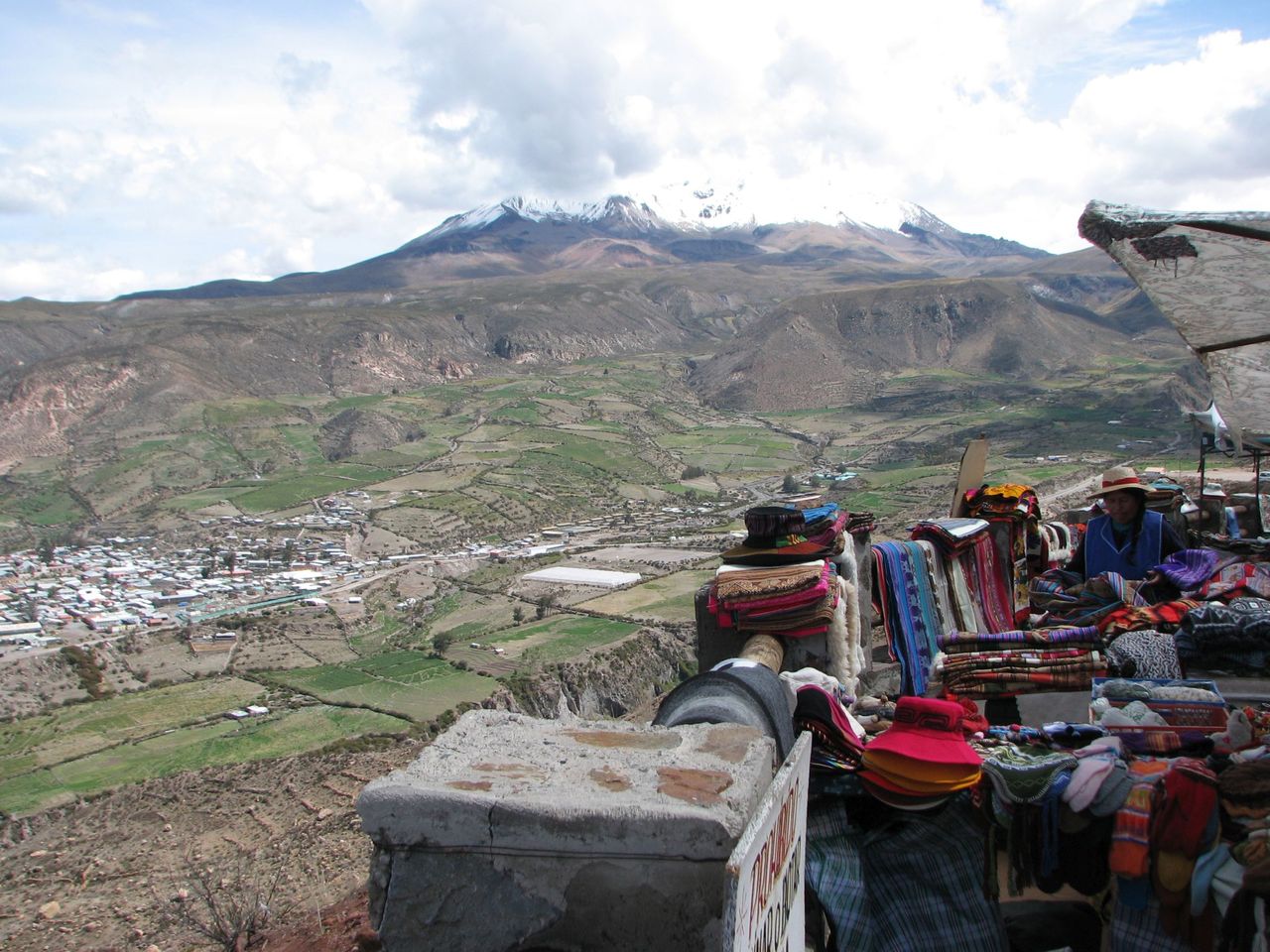
This lady agreed to pose for a photograph. She is holding some things I bought for my mother and my sister. Woe is me if I come home with empty hand
We were supposed to stop at Putre for lunch, but the guide thinks we should visit the lake first and have lunch on the way back, because the clouds are gathering over Putre and the rain might spoil our tour. We all agree.
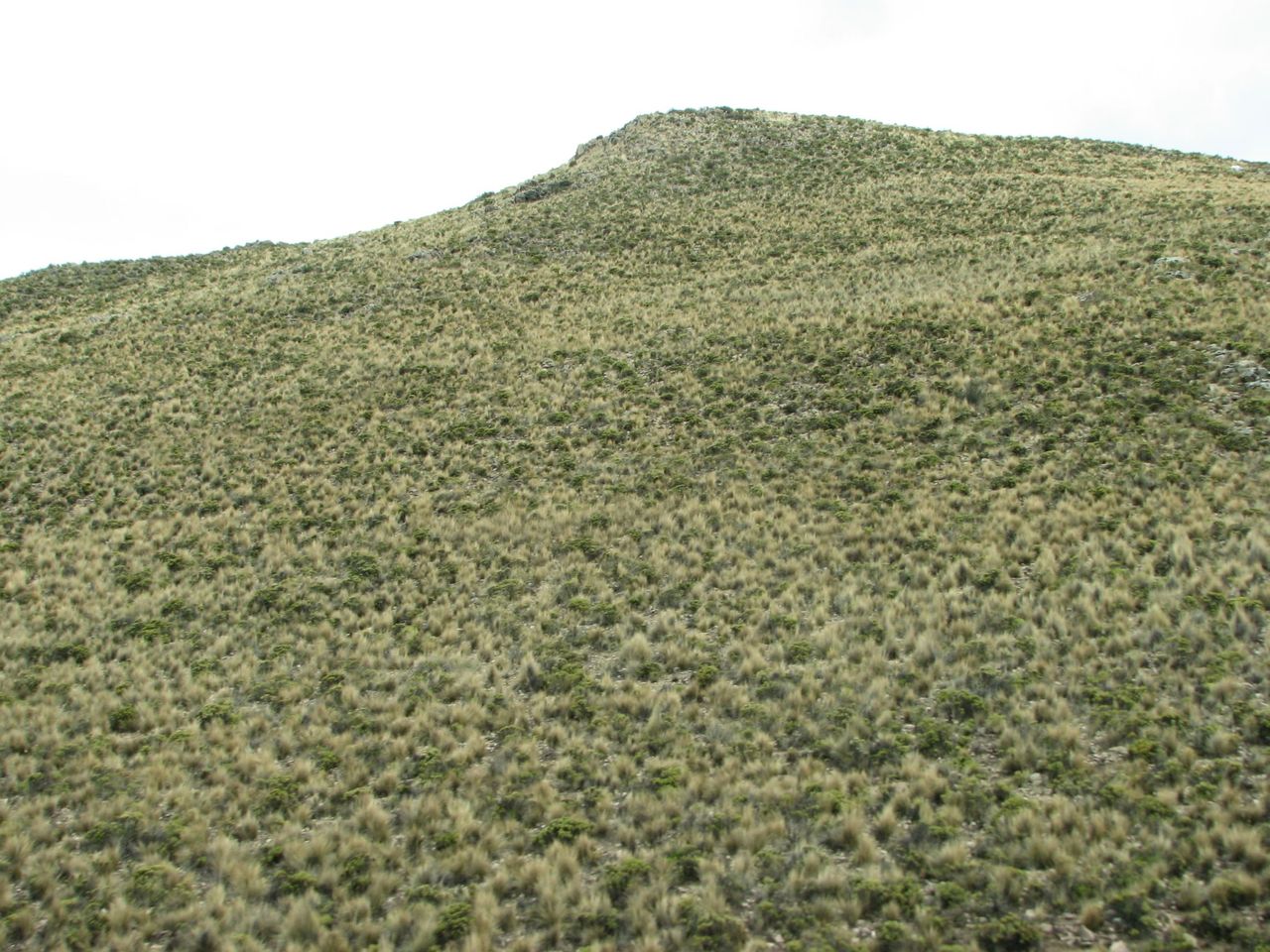
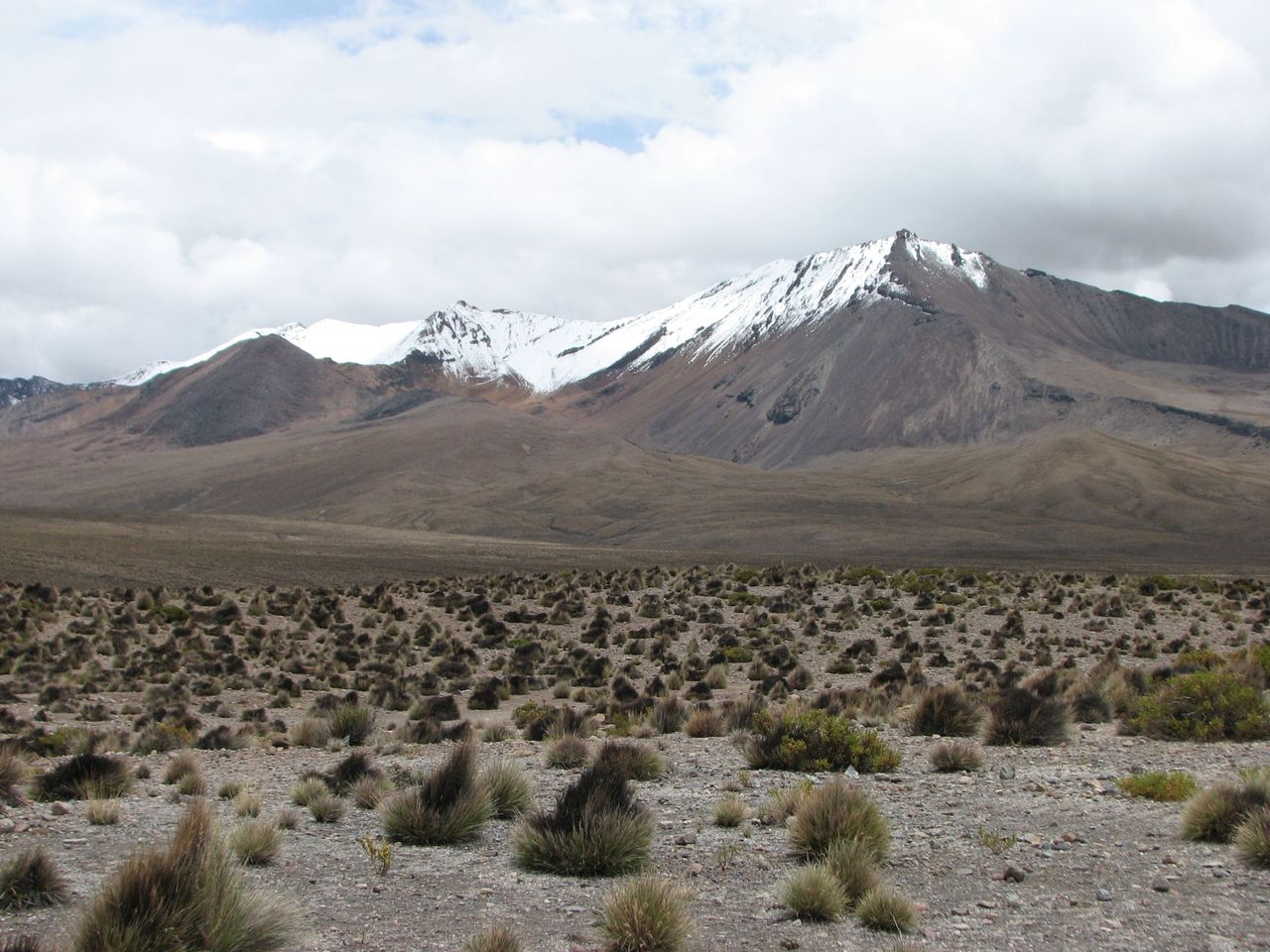
From that point, the mountains are covered with this grass called coirón. It looks like a troll's hair, and it's no fun. You'd better stay away from it, because it stings. Each blade of this grass is like a needle. Actually, like a syringe needle!
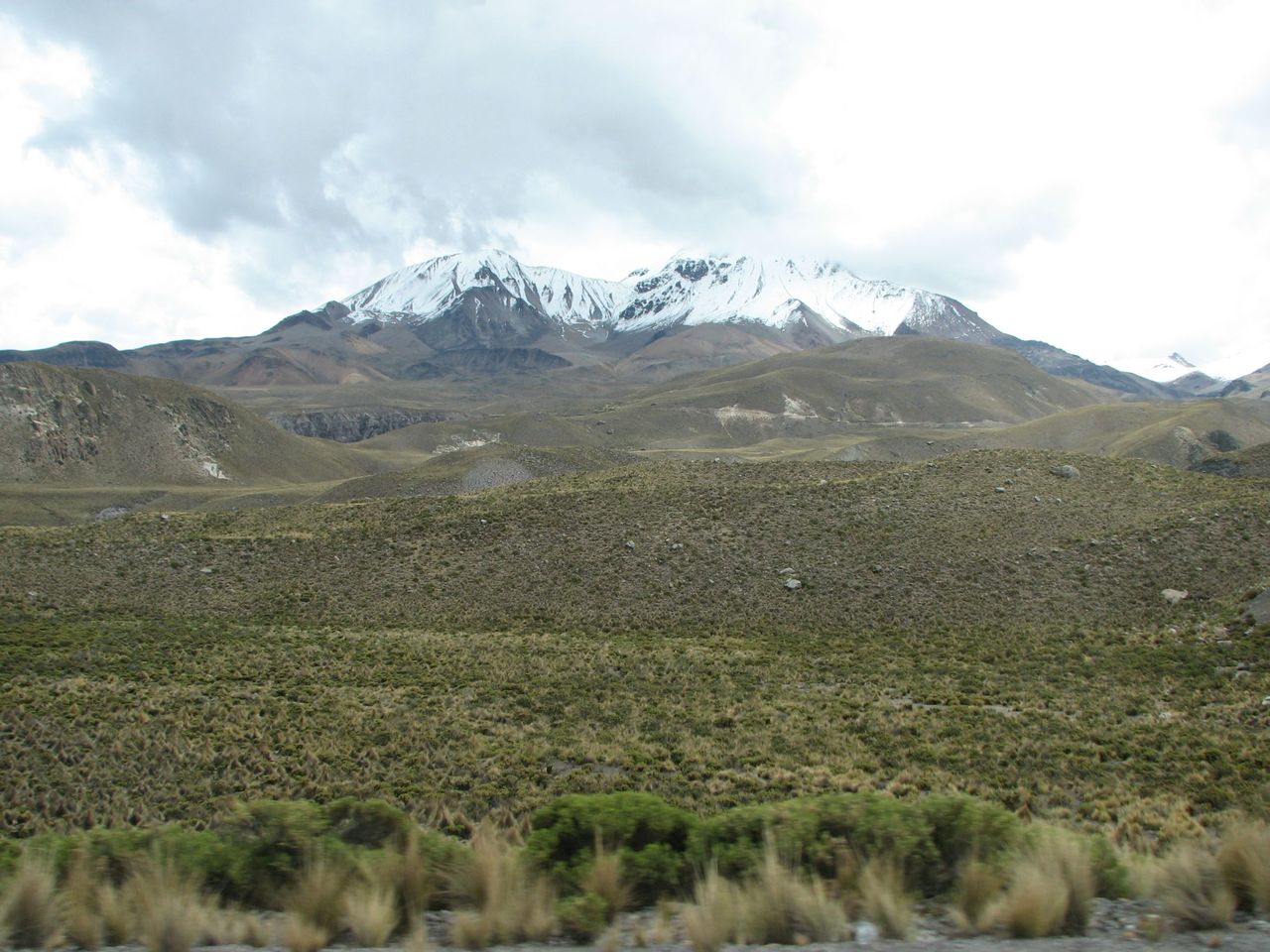
Mount Taapacá, aka Nevados de Putre.
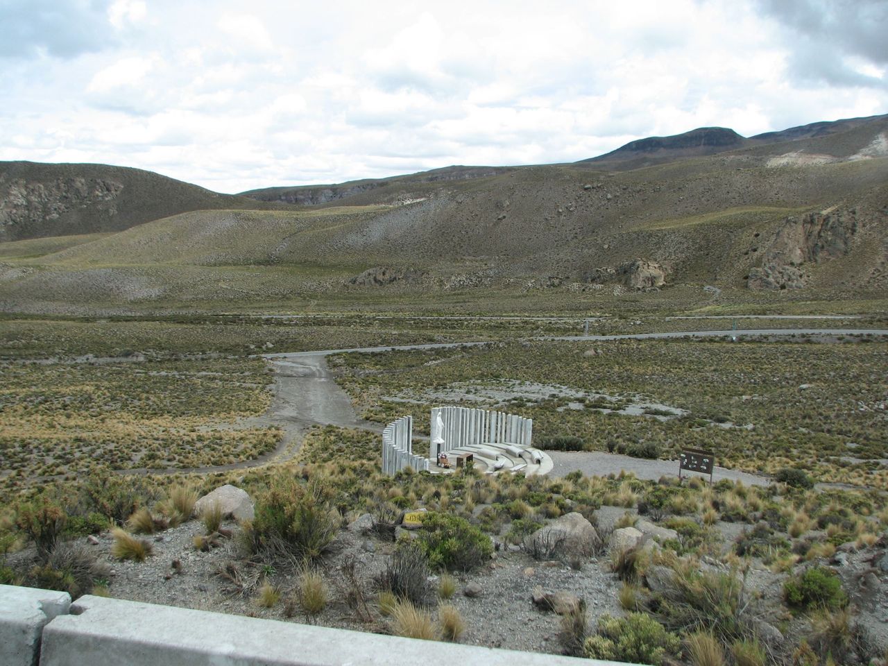
A memorial. In 2008 a bus was carrying 10th grade students (all girls from a well-off background) back from a tour to lake Chungará. The driver lost control of the bus and fell off of the road down this hill. Ten girls died.
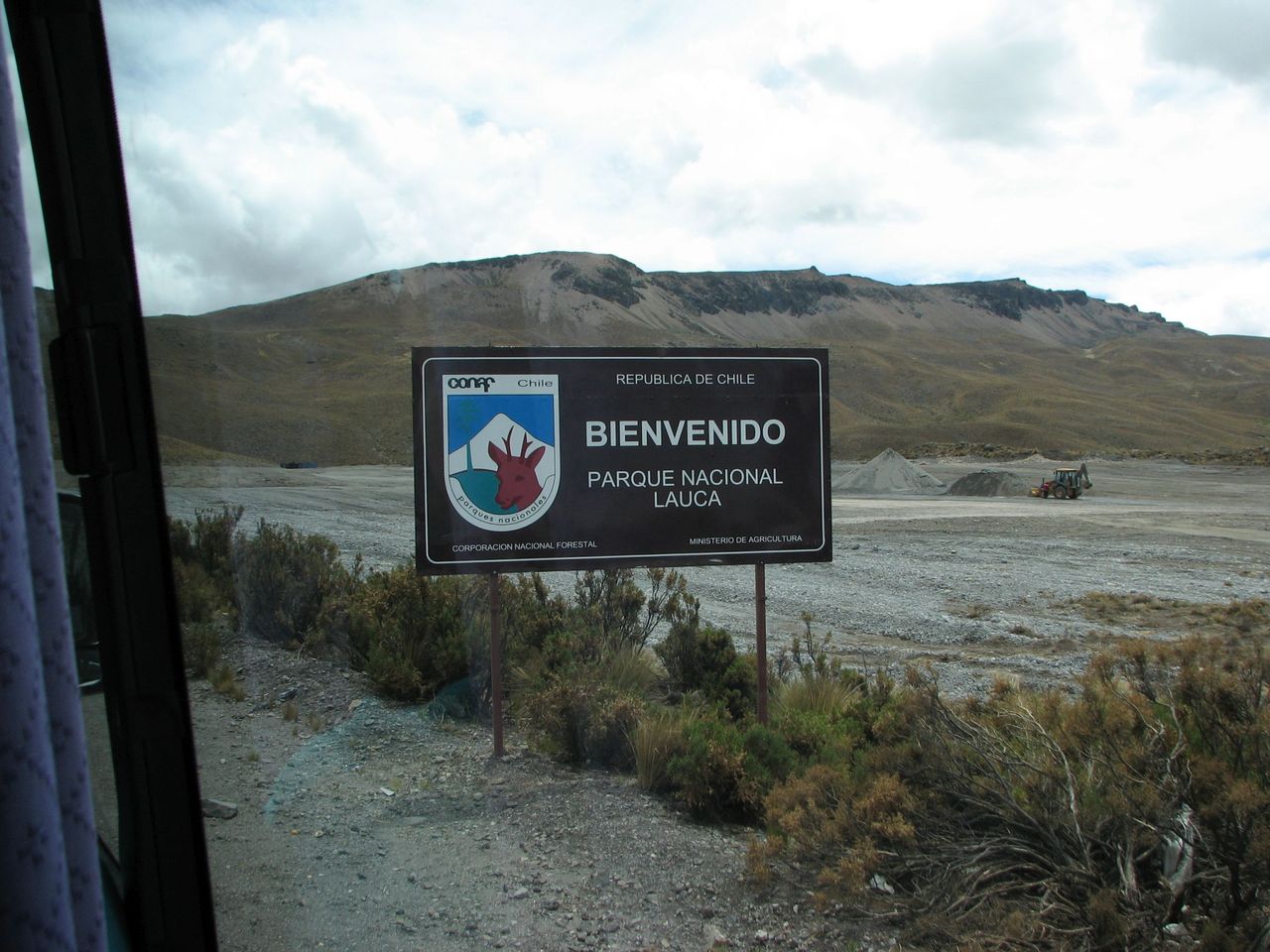
At last! Entering Lauca National Park.
Reaching 4500 meters above sea level. Coca leaves are doing a good job.
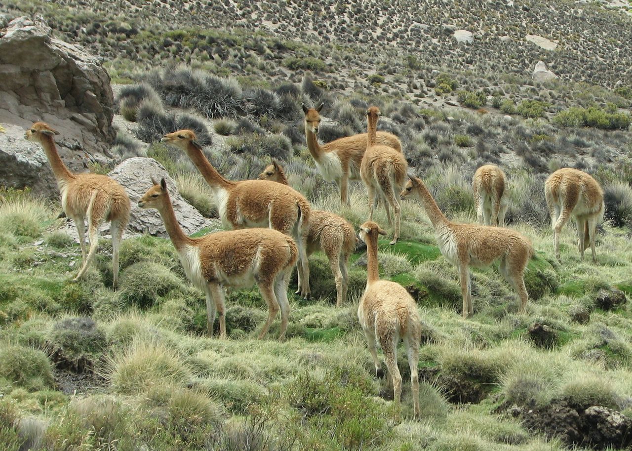
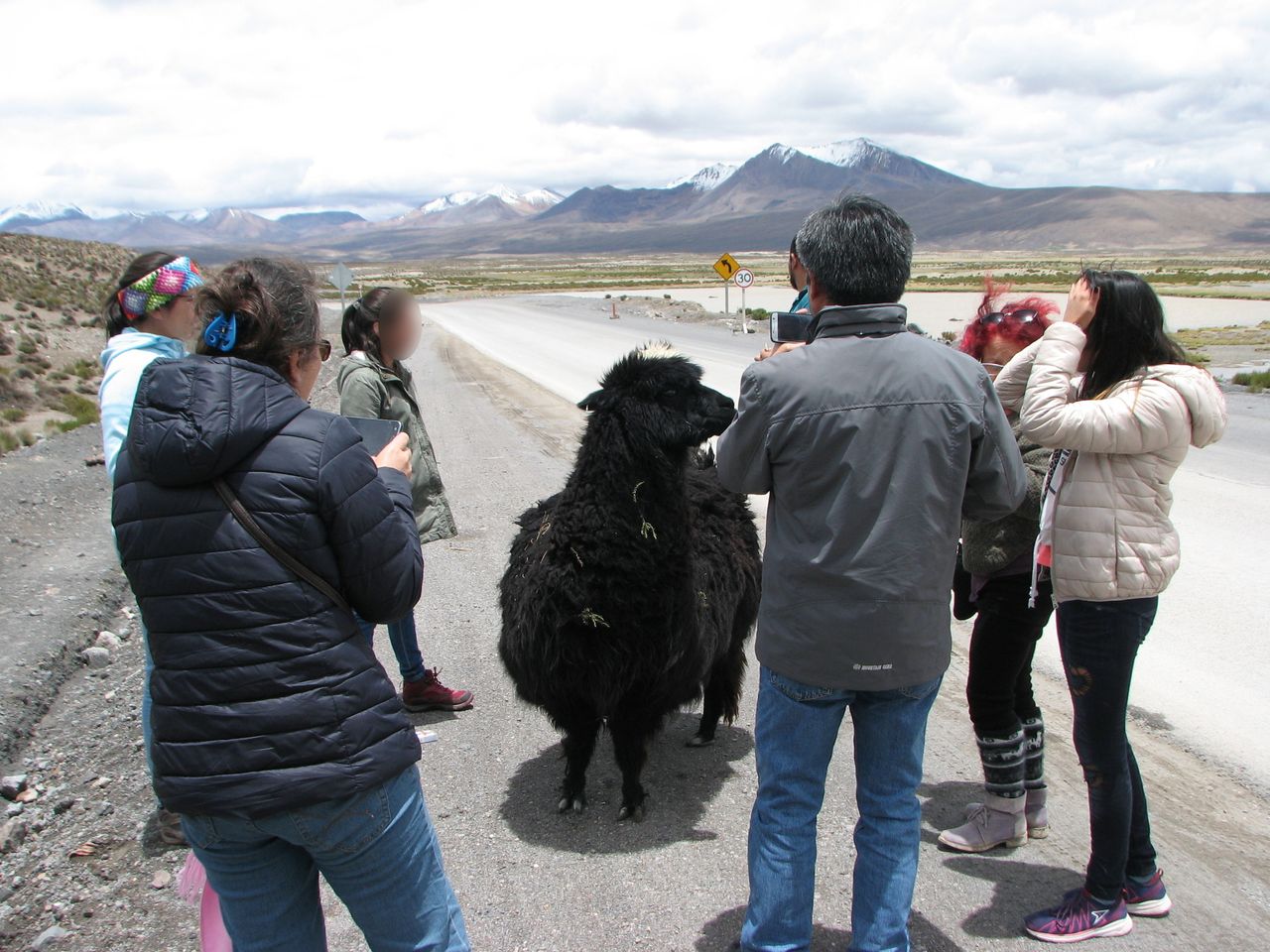
Surprise! A flock of vicuñas! They are the most elegant of the camelidae family. Their wool is extremely fine, scarce, and expensive!
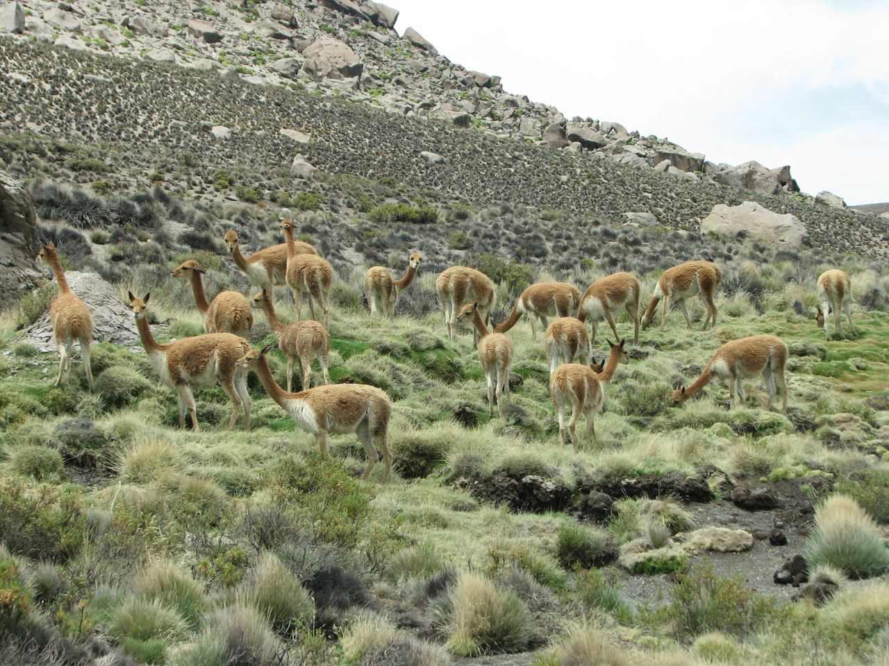
Among the Incas, only the royalty were allowed to wear clothes made from vicuña wool.
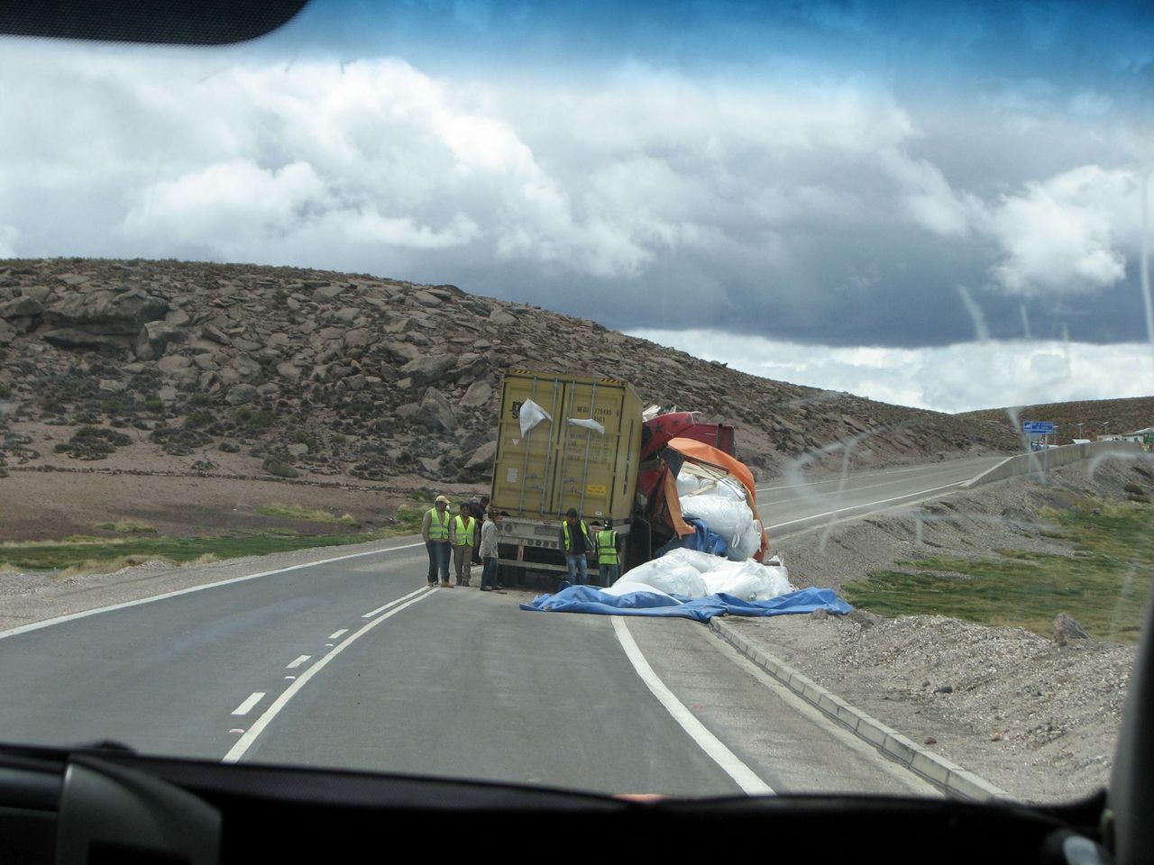
Oops! One truck hit another from behind, violently. The cabin is completely destroyed. As we pass we can see the cabin. Not a nice thing to see.
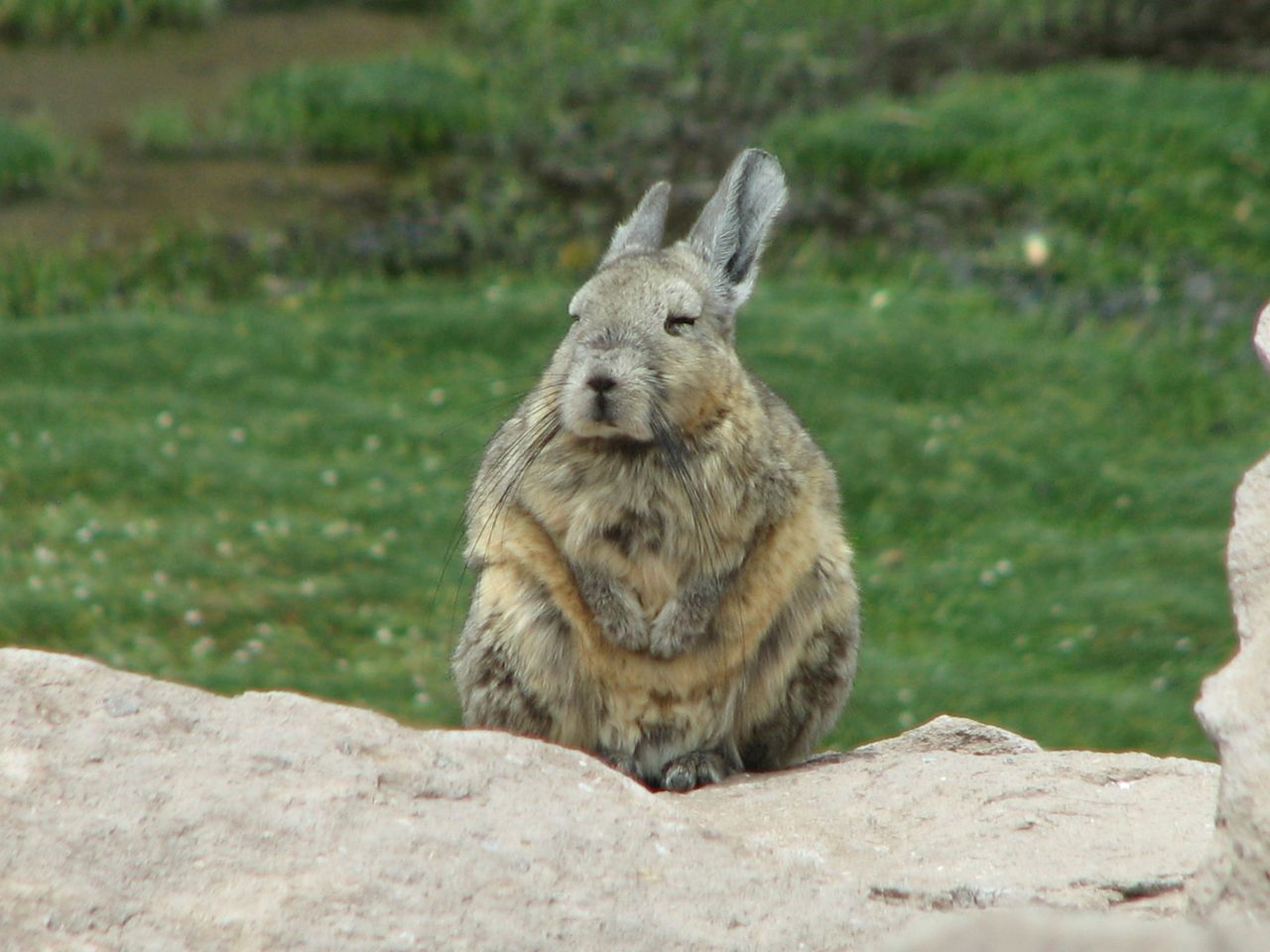
A second nice surprise! See that little guy sitting on the rock?
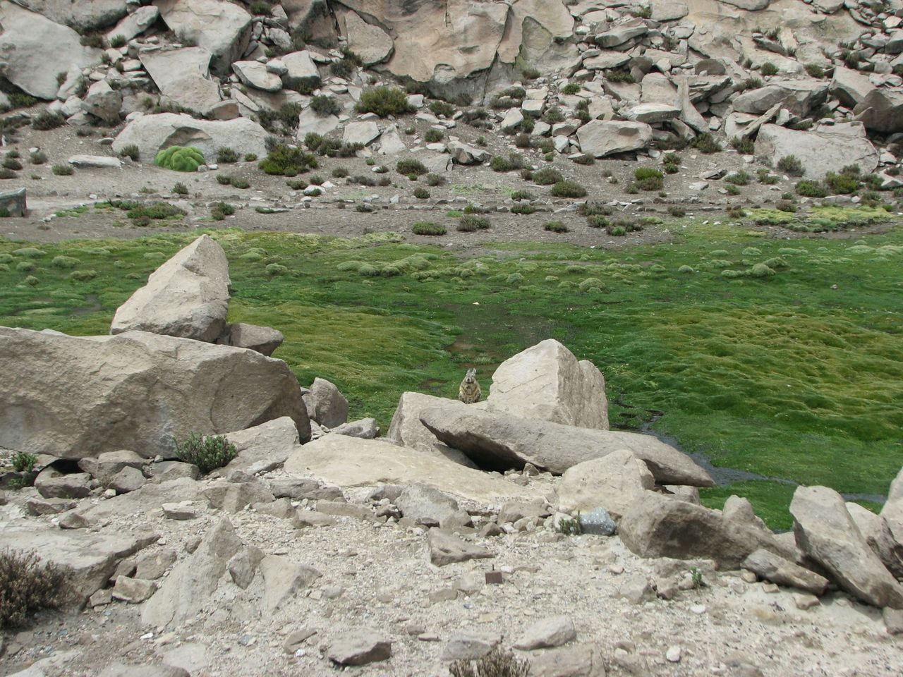
It's a vizcacha! (Lagidium viscacia) It looks like a rabbit, but it's not a rabbit.
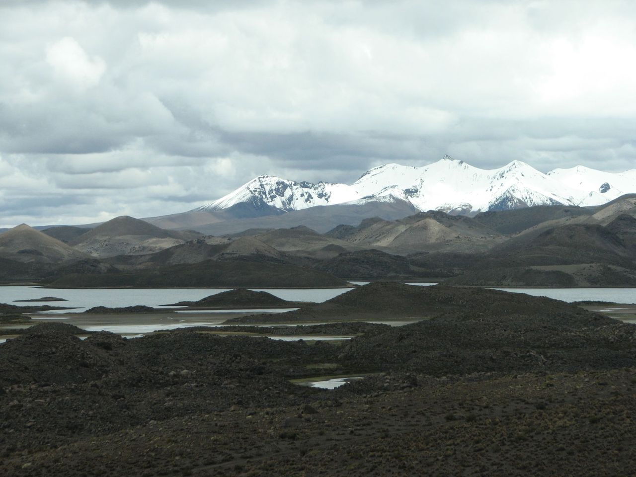
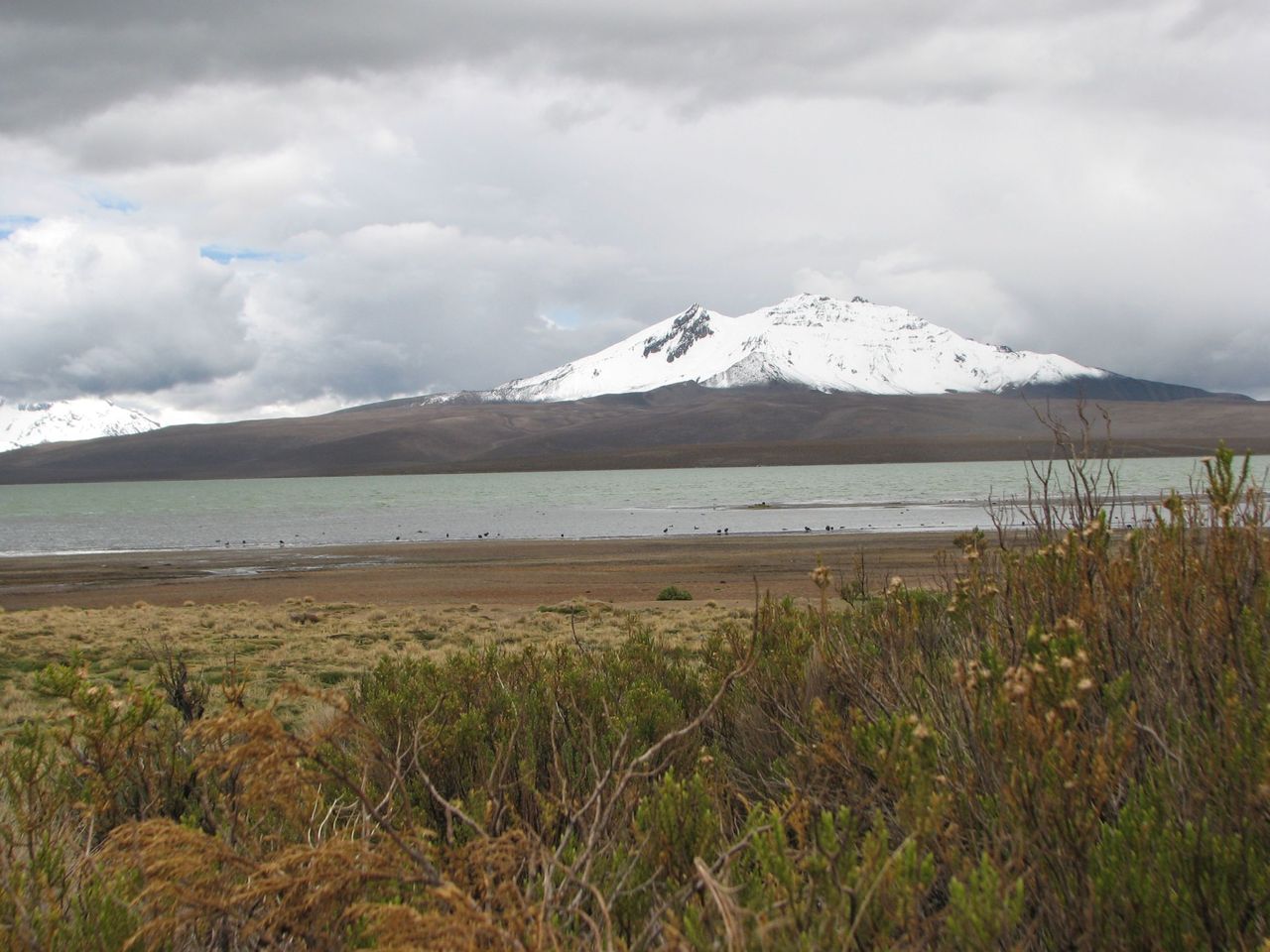
Here we are. The Altiplano: alto (high)…
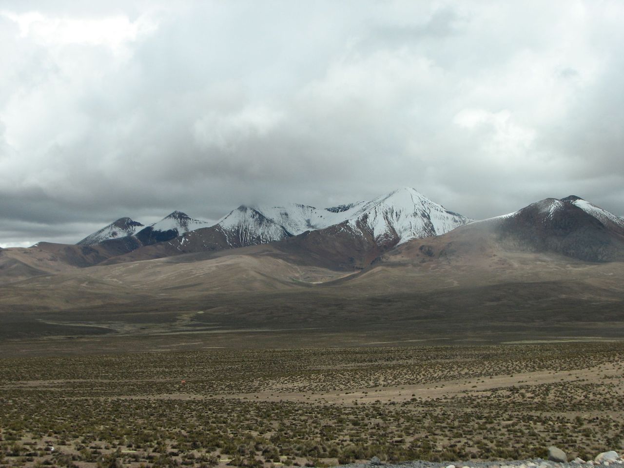
…and plano (flat). There's a lookout with a view on…
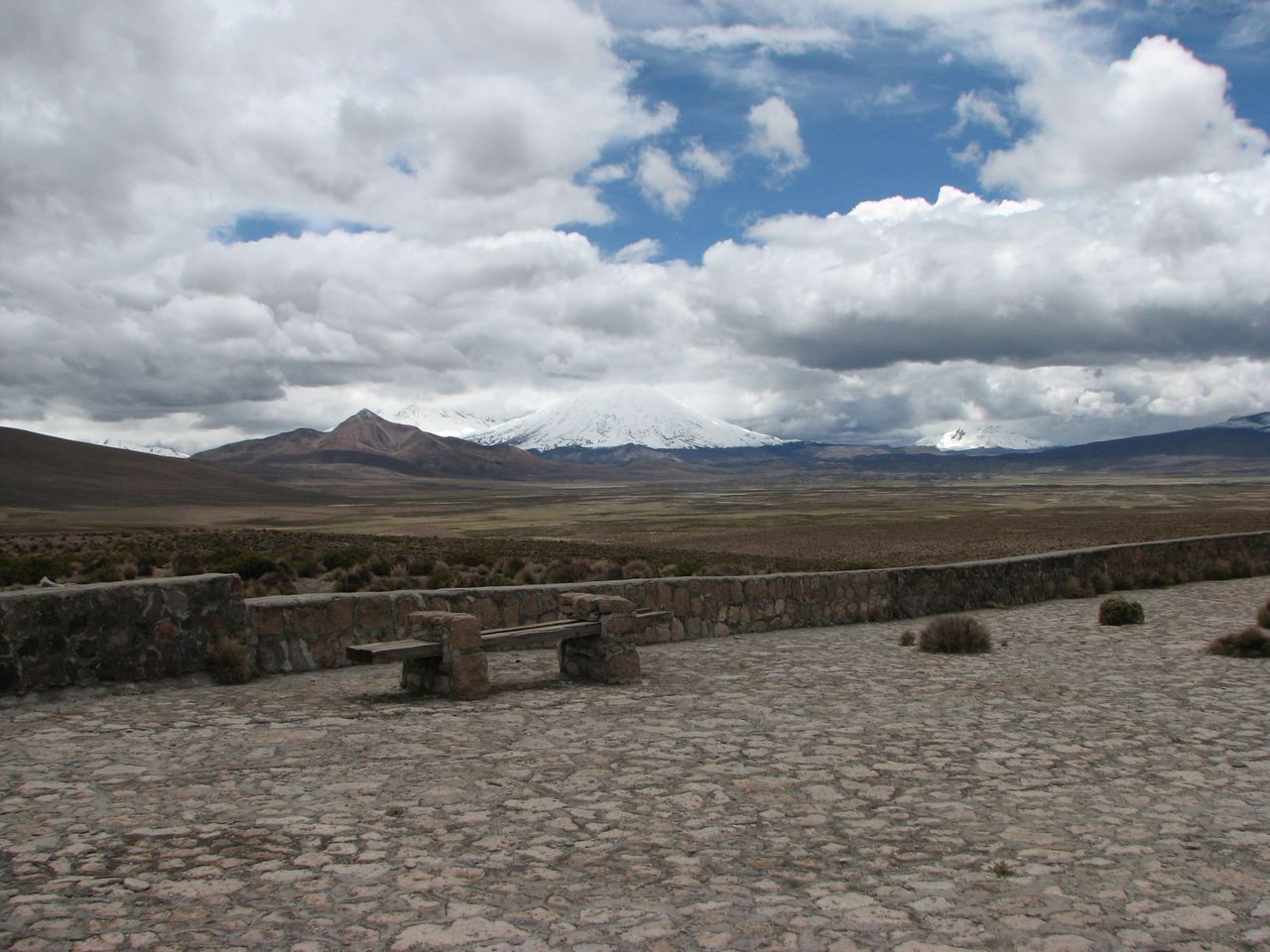
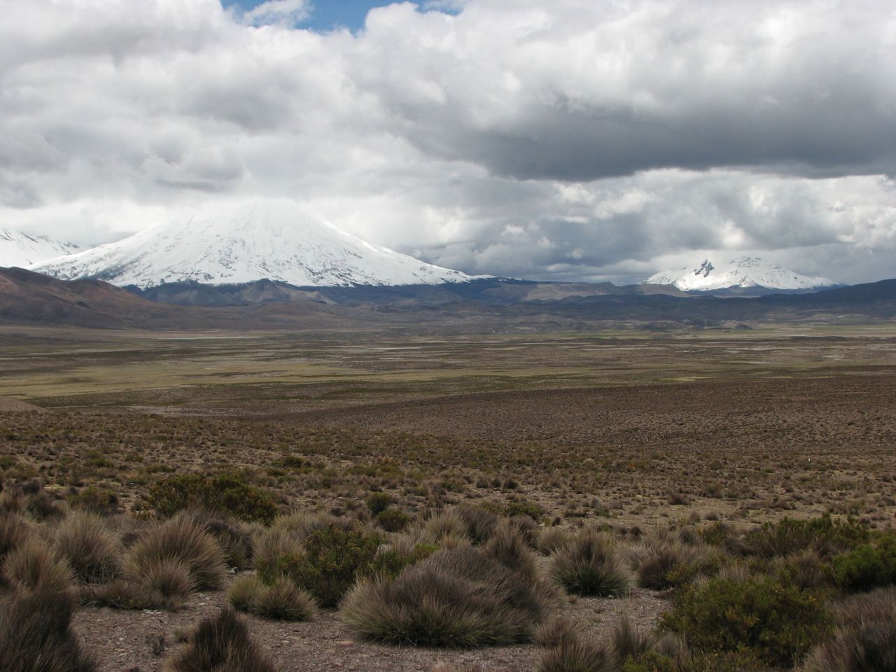
…volcanoes Pomerape and Parinacota.
I'm speechless. Partly because the altitude (4500mt) and partly because of the view.
>
>
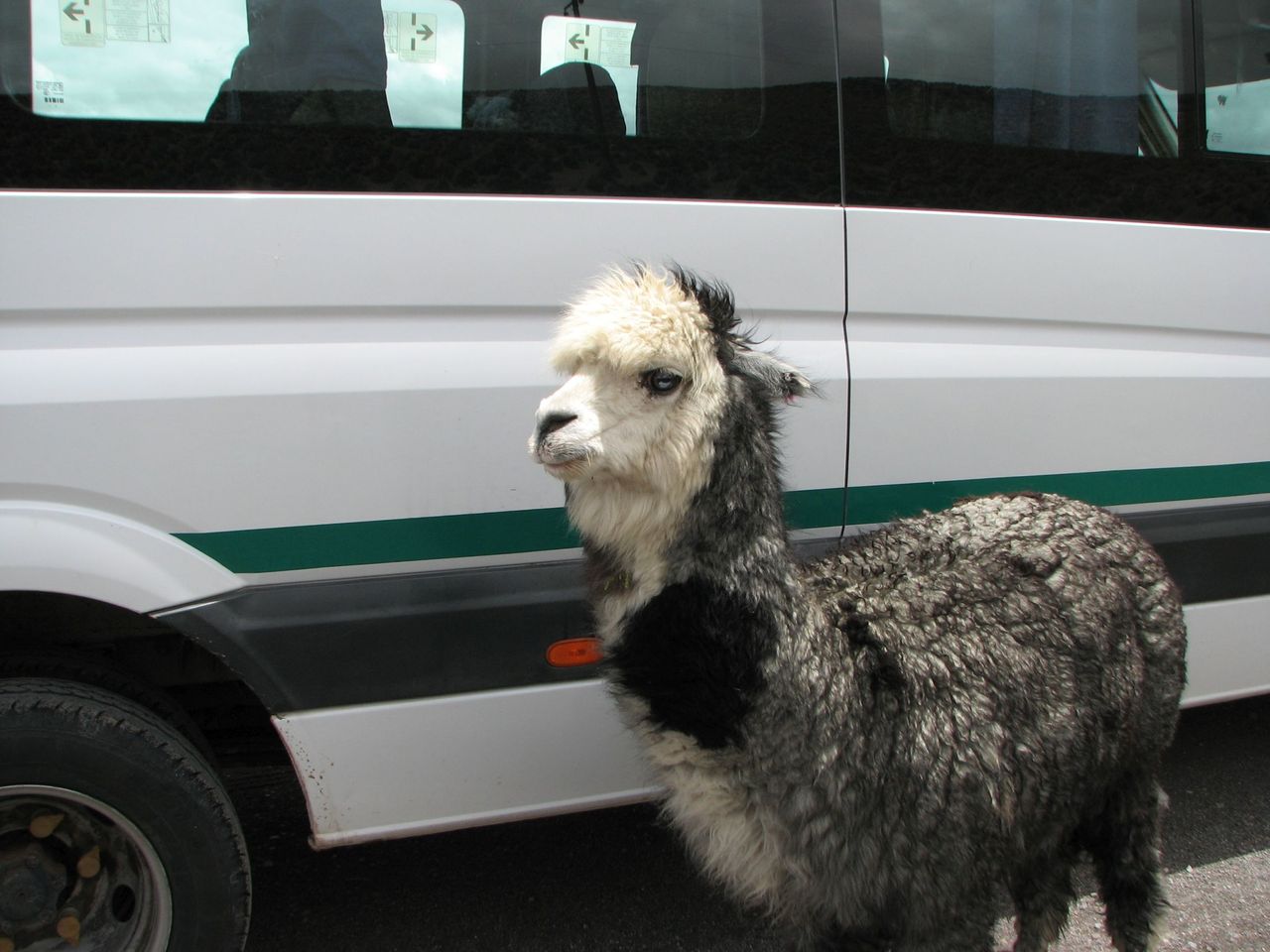
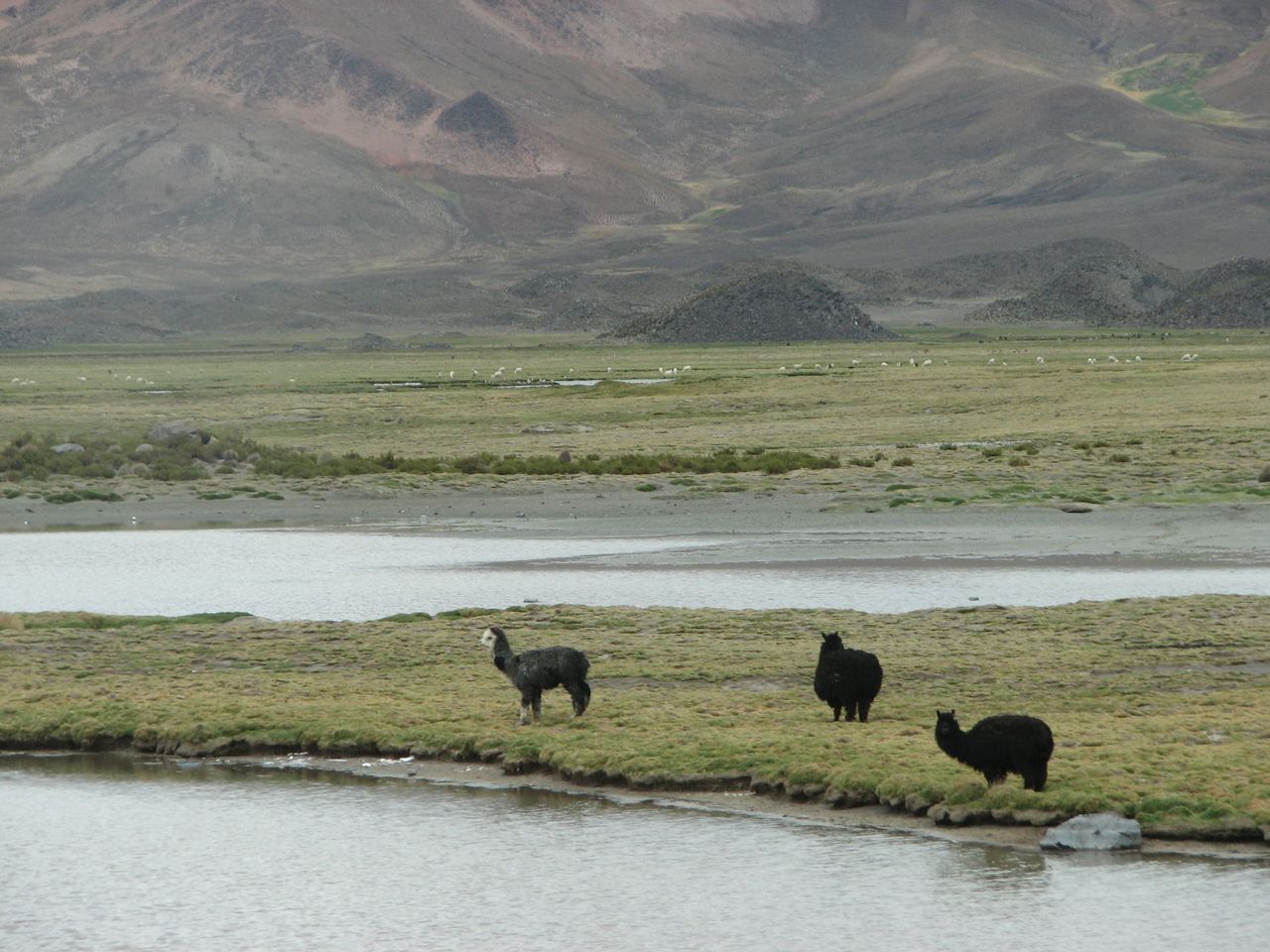
After some minutes admiring the scenery it's time to move on. A couple kilometers beyond the lookout we find this flock of alpacas. Alpacas look much like llamas but have shorter ears, longer faces, and their wool is much finer than that of llamas. The guide says that one of them is called Coque (a usual nickname for men called Jorge). Coque has a white face, and the guide thinks he can see him in the distance. He calls his name, and Coque and his friends run towards the van!
This is one of Coque's friends. We are ecstatic!
This is Coque.
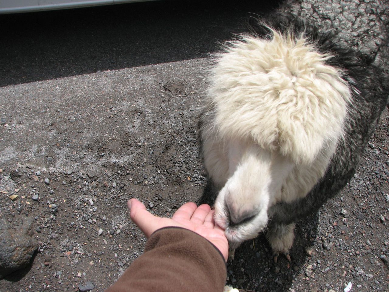
The alpacas are waiting for some treat. Luckily, I bought some pululos (puffed, sweetened corn) at the restaurant in Zapahuira, and they love it!
Coque eating some pululos from my hand.
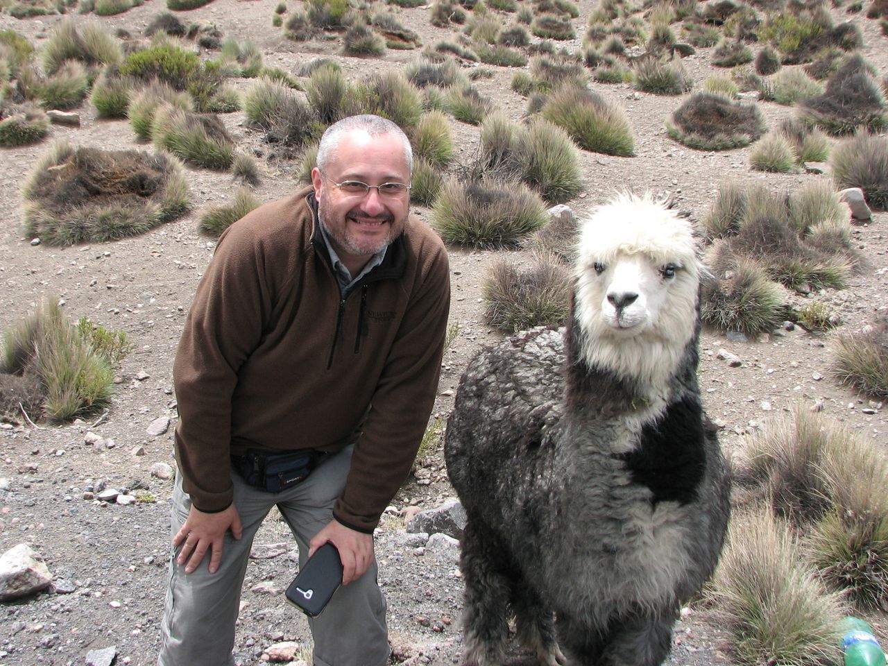
I know I shouldn't post photographs of people's faces here, but Coque posed for this one with me and he's the sweetest thing on Earth. I just can't leave this photo out of the report! Look at his lovely eyes, that white hair around his face, his friendly smile, his funny, thin legs, and his plump body. Don't you want to hug him? (I'm talking about the guy on the right, people!!)
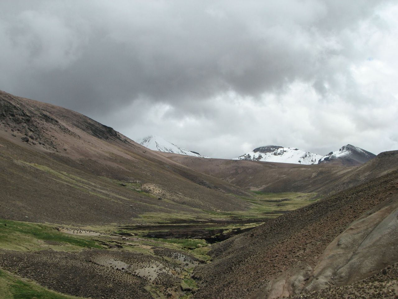
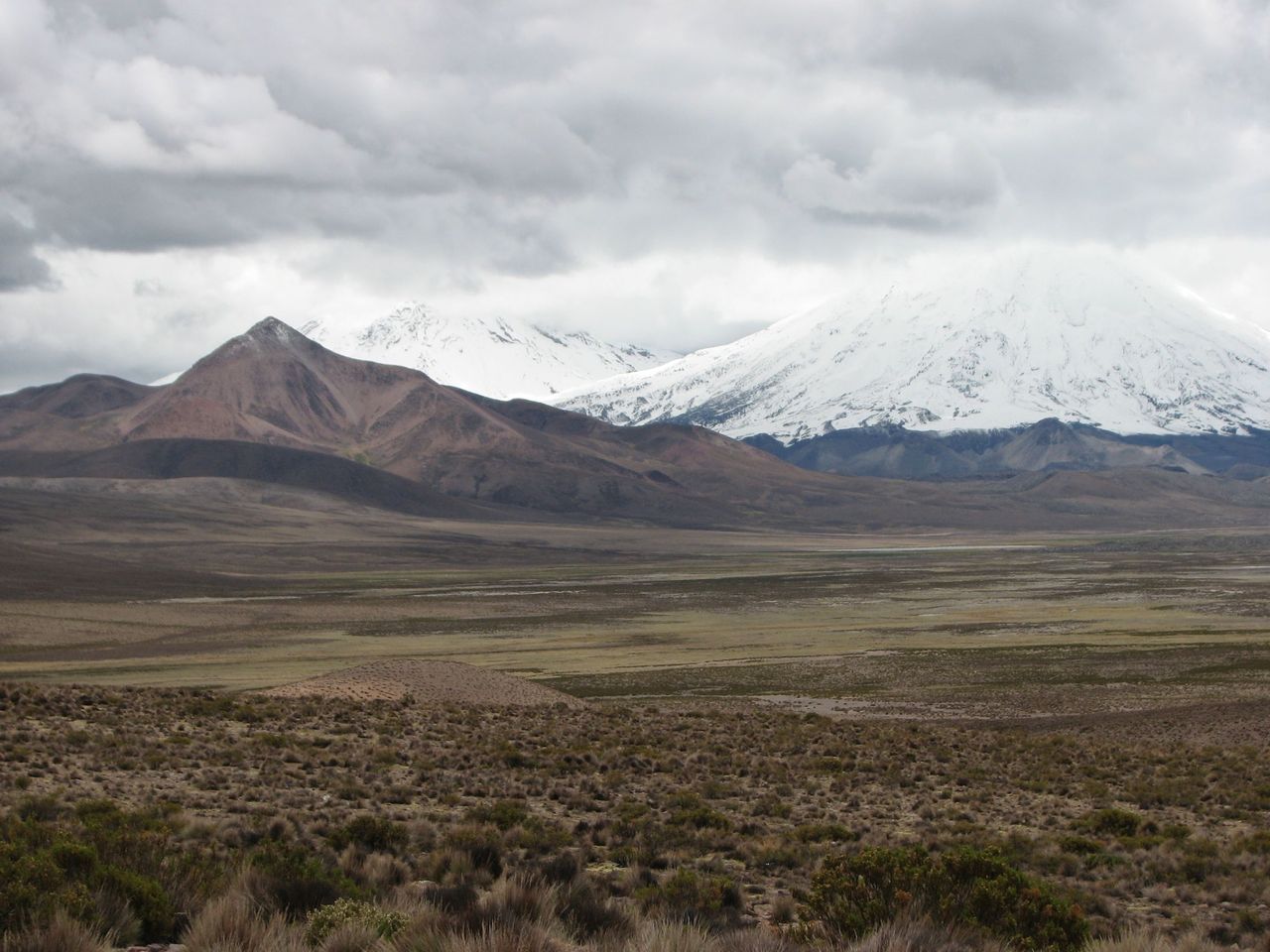
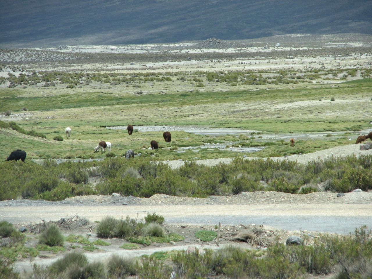
We say goodbye to Coque and the other alpacas. A little later we arrive at this place called Cotacotani, meaning many lagoons.
Cotacotani has a volcanic origin. Volcanoes Pomerape and Parinacota dominate the landscape.
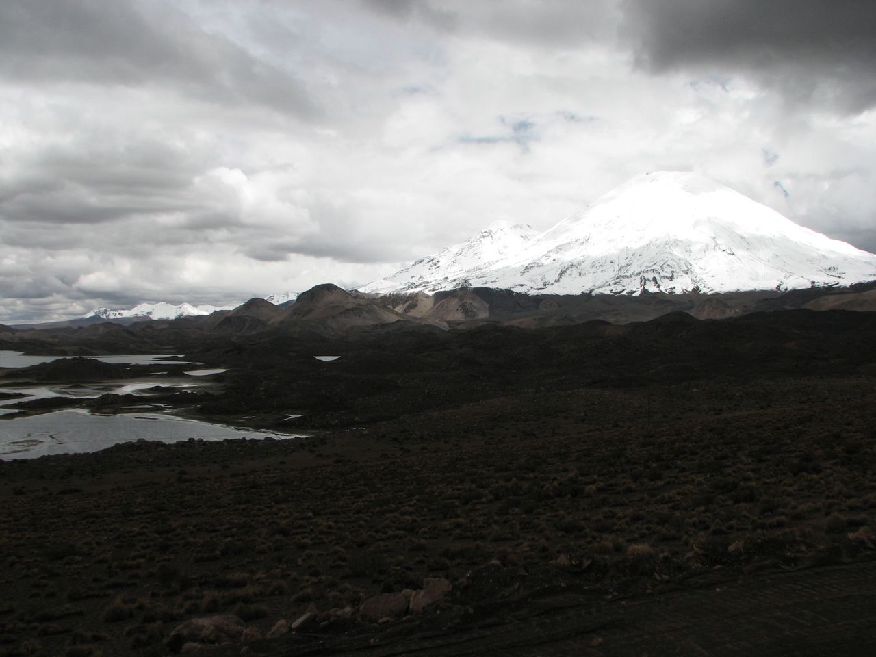
The clouds were low, but the top of Pomerape volcano was visible.
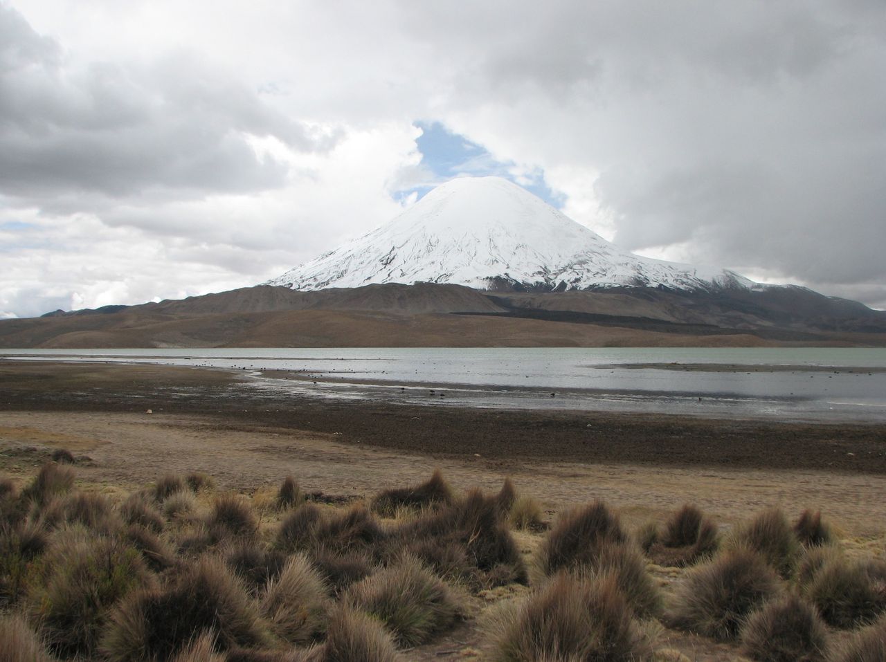
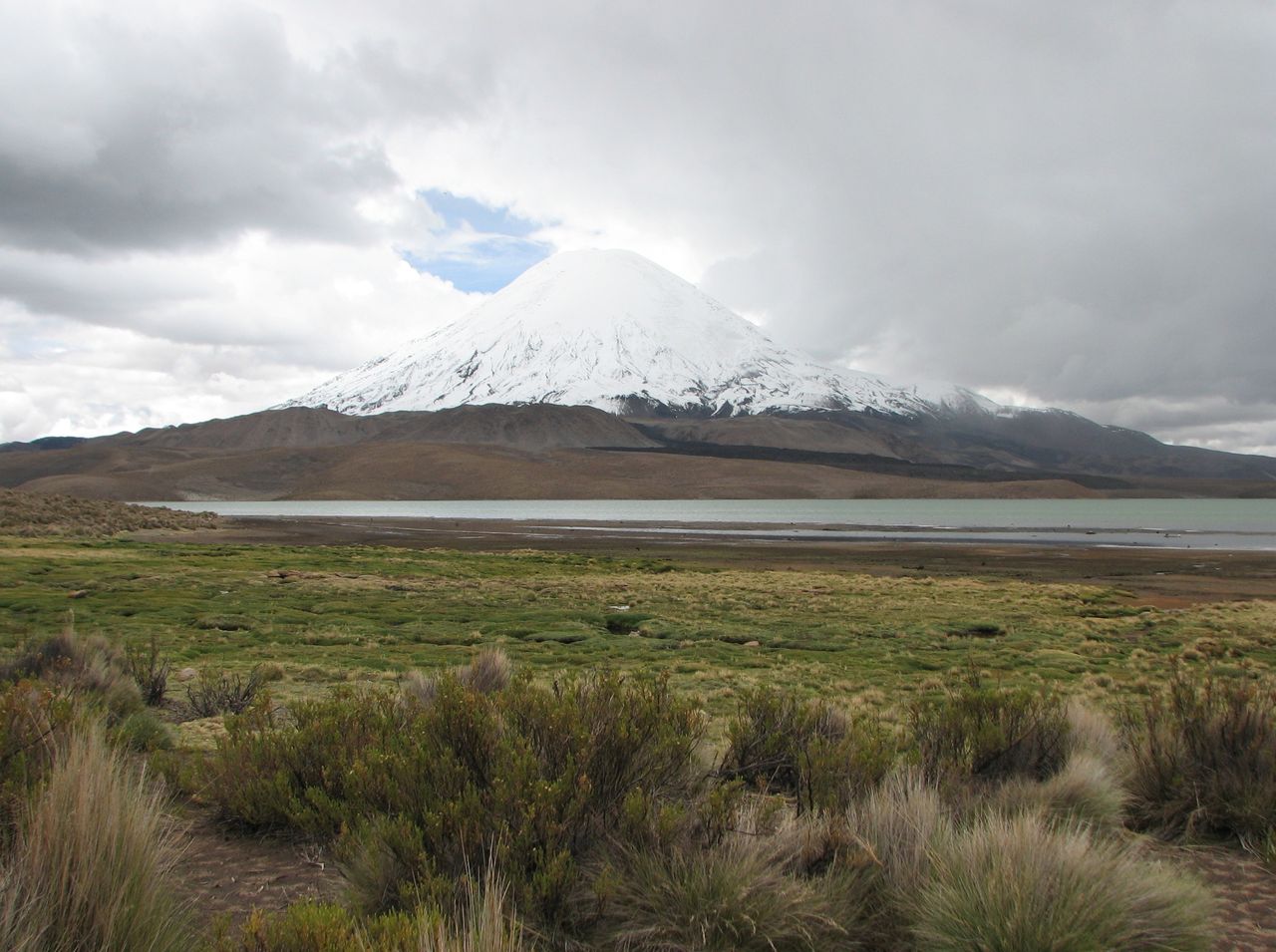
Four kilometers ahead… at long last, lake Chungará!
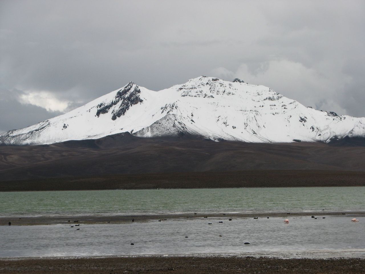
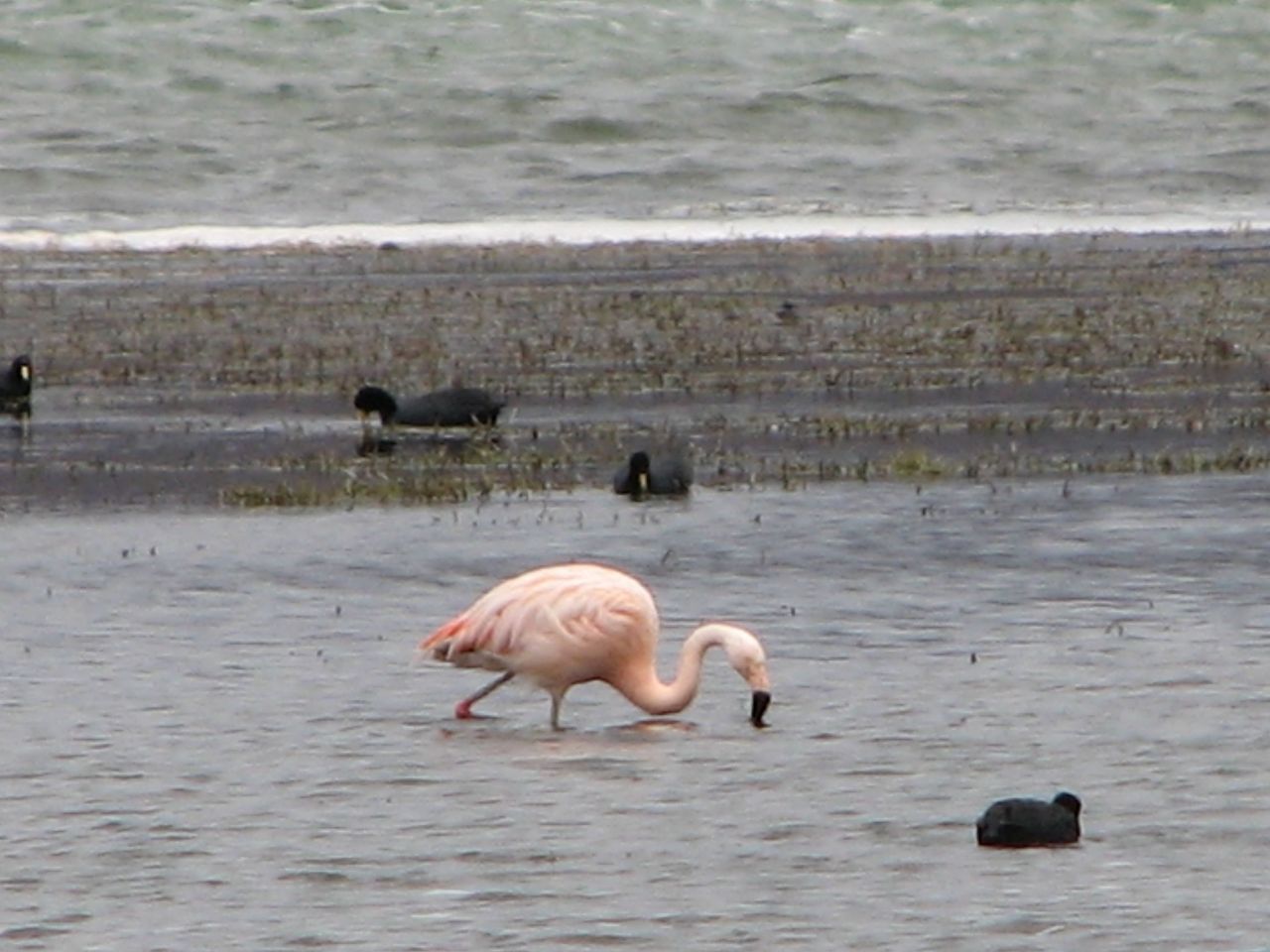
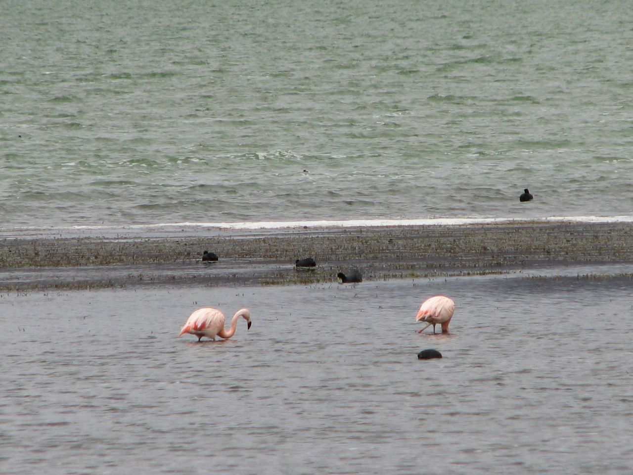
We are warned by a park ranger that we must not walk outside the trail along the lake shore.
Pink flamingoes can live in peace here…
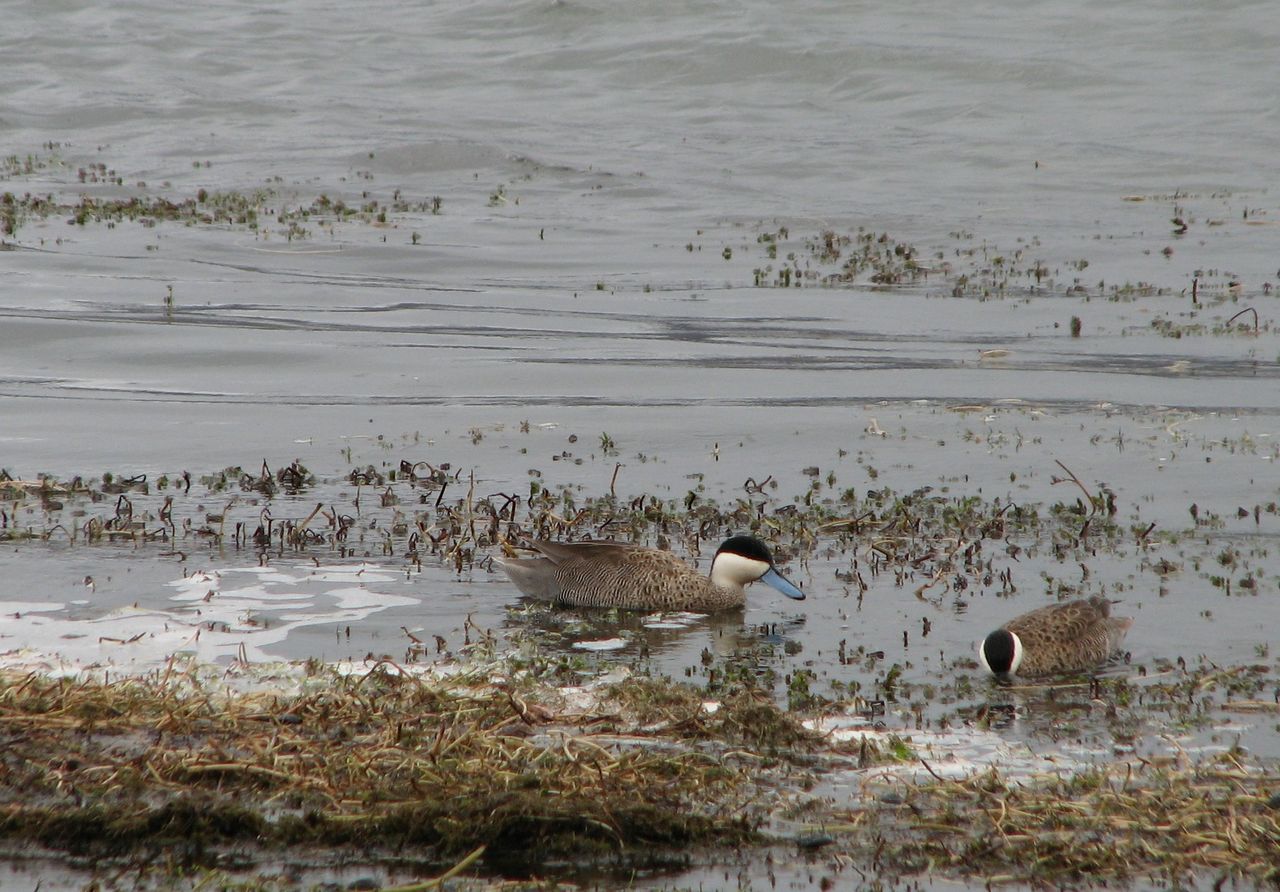
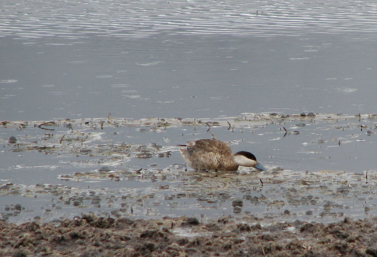
…along with puna teals (Anas puna)…
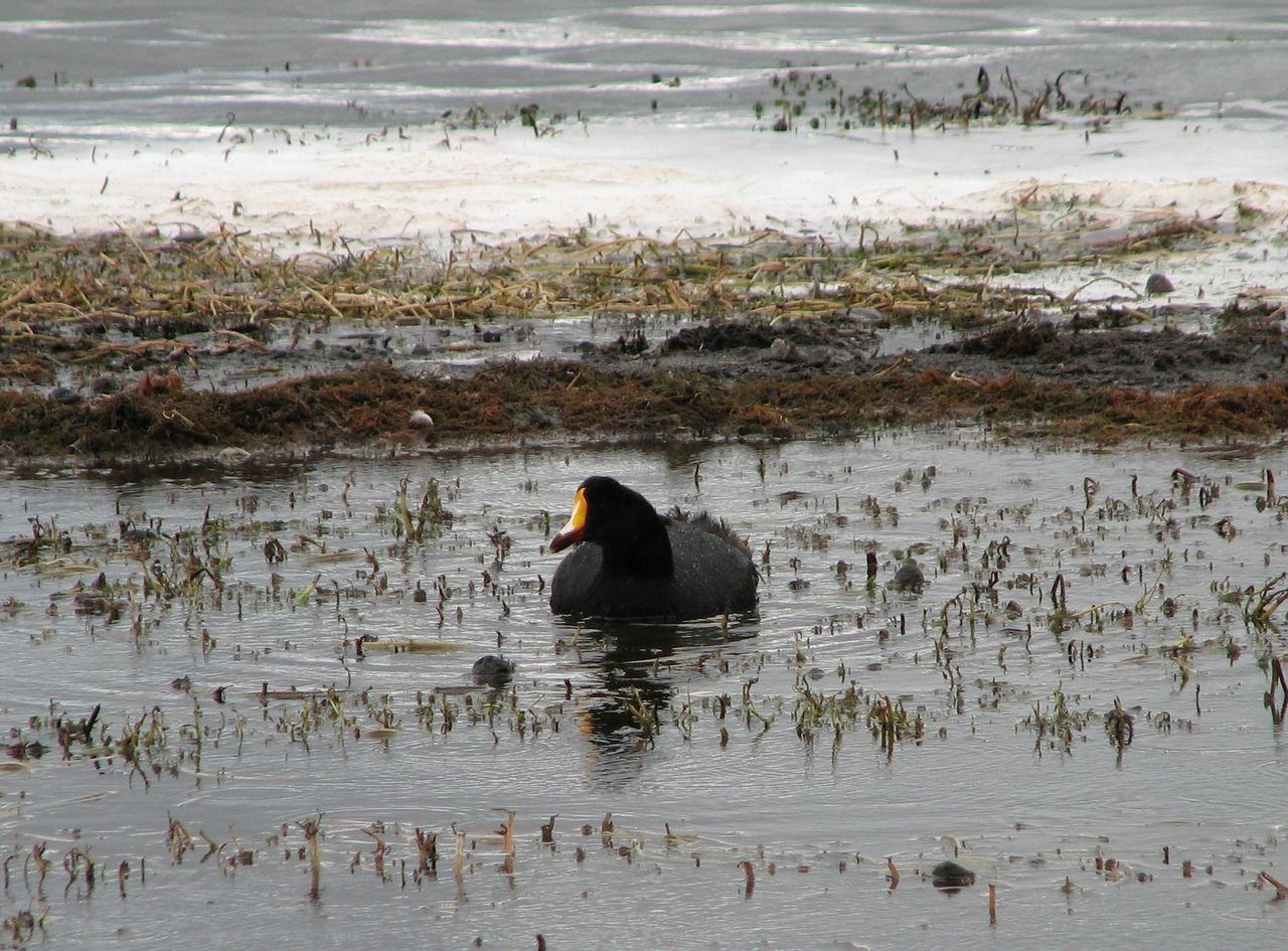
…and Andean coots (Fulica ardesiaca).
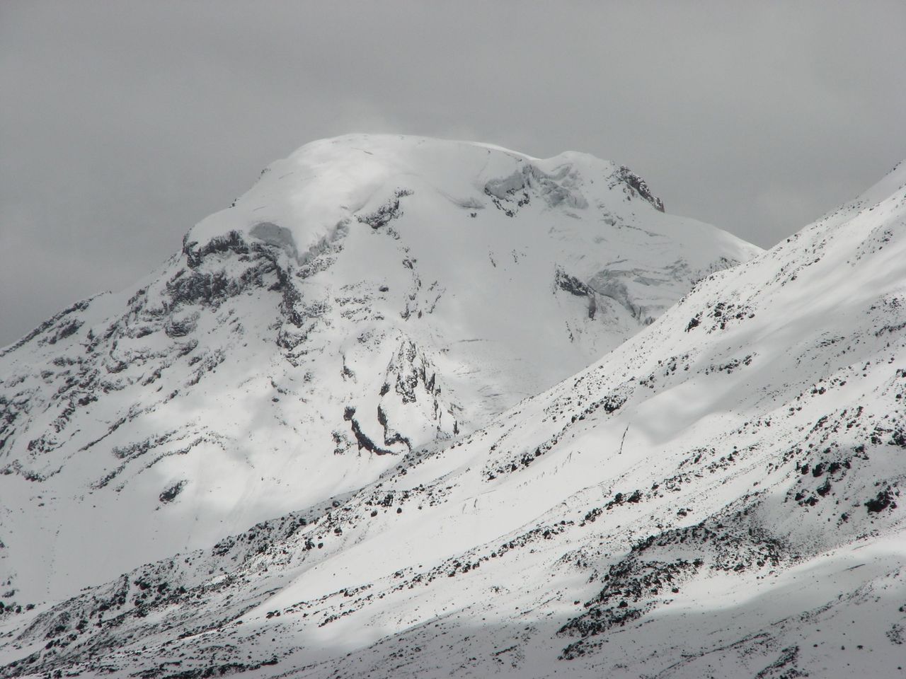
I can't get enough of these views. I find Parinacota volcano very photogenic.
We stay by the lake some 45 minutes before it begins to rain. Sadly, it's time to start our journey back. We will stop in Putre for lunch. Sounds nice, but the trip back would become a nerve-wrecking experience. I think the driver of that car would agree… if he could.
We drive back towards Putre. Coque and his gang are grazing in the wetlands.
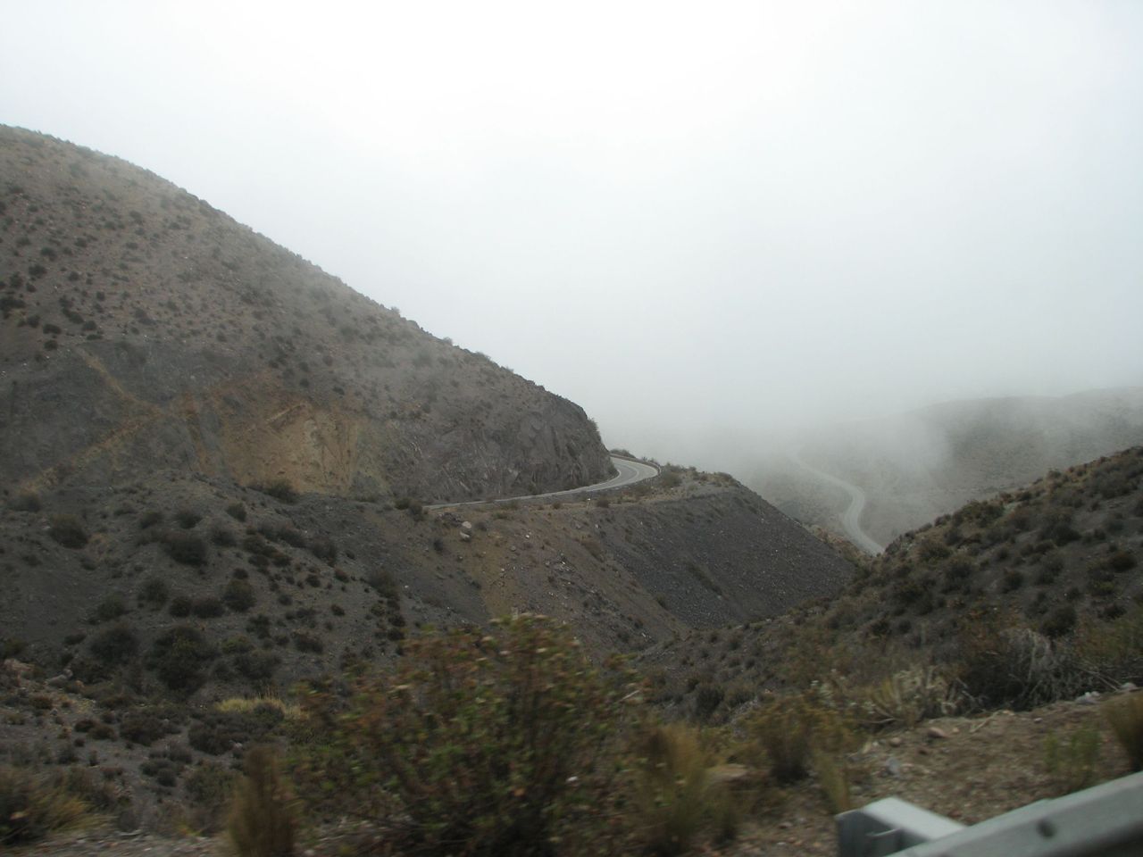
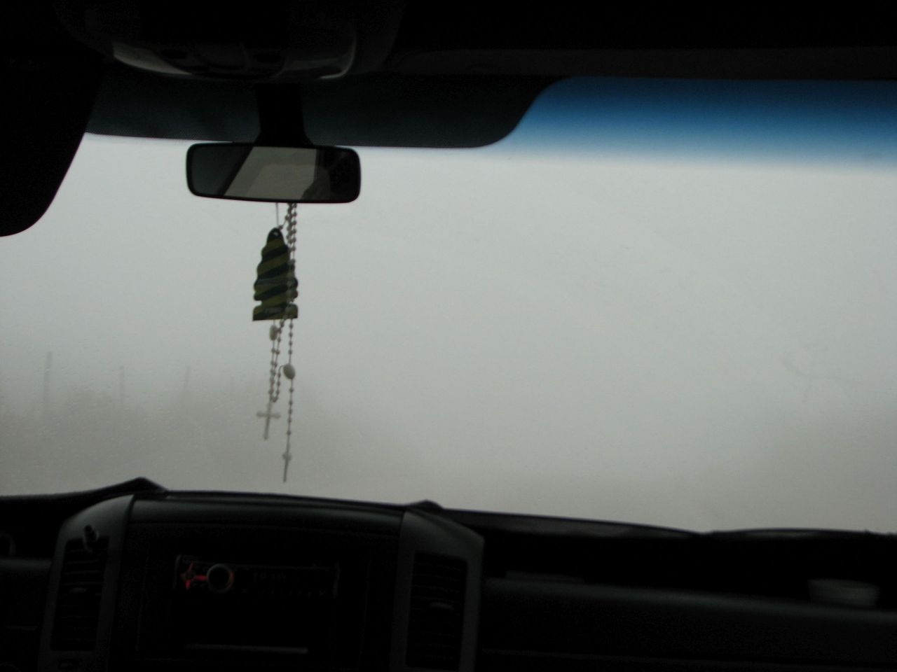
The fog is beginning to cover the mountain road.
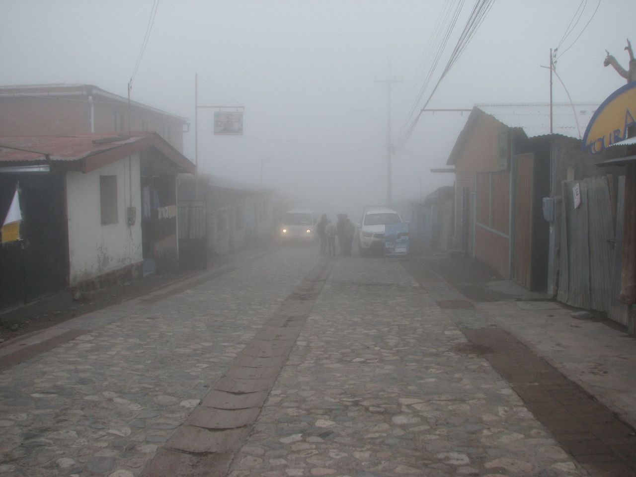
When we arrive in Putre, this is what the town looks like.
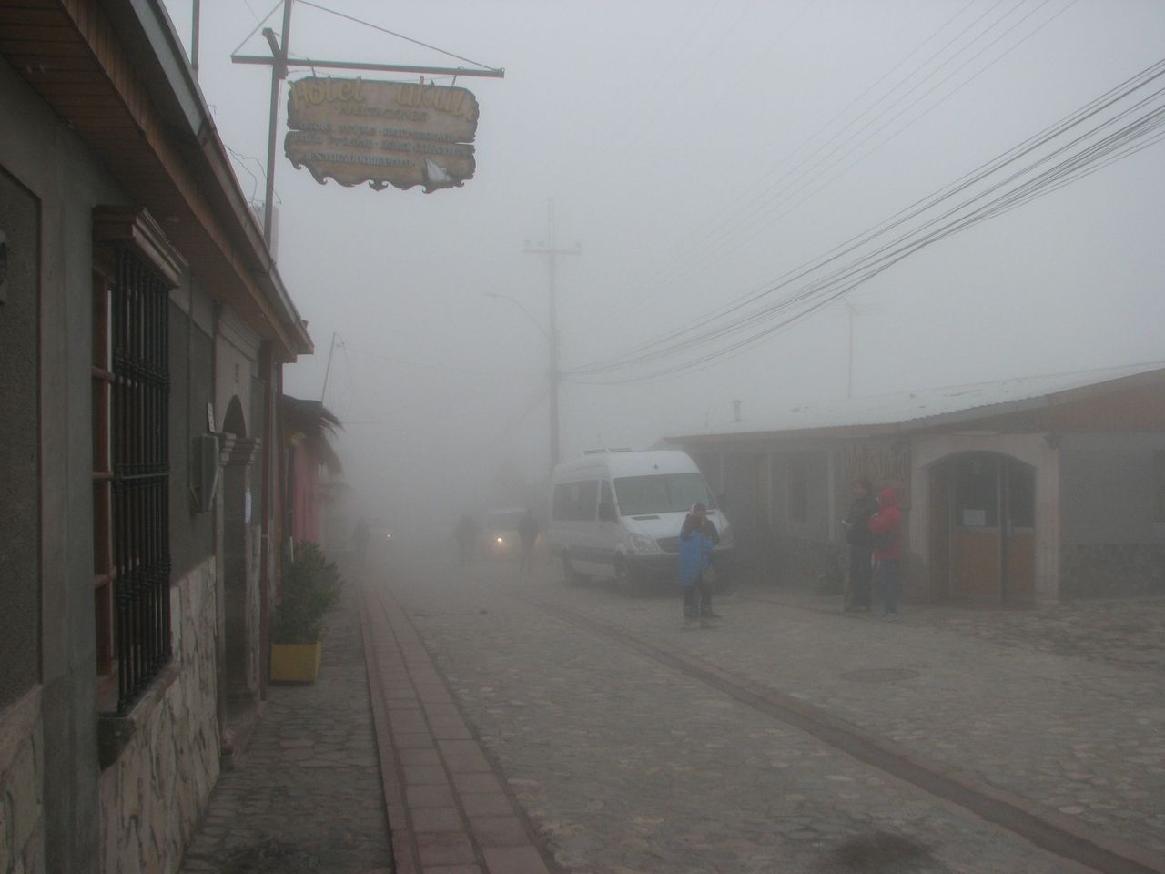
After lunch we start our descent towards the desert. We can hardly see a meter beyond our noses on this winding road. I'm getting very worried. Something tells me we can end up like all all those wrecked cars we have seen by the road.
It's at this point, in the middle of the fog, when our driver decides to overtake a truck. I thinks it's a wrong move. We are reaching the cabin of the truck when I see the lights of a yellow truck in front of us getting bigger and bigger. I can only say uh - oh. I know we are going to be hit. The cabin of the yellow trucks jolts to the side. The driver has seen us but there's no way he can stop before he hits us. The driver next to us realizes this and brakes, giving us more time to overtake him and get back to our lane. We escape by the skin of our teeth.
Then comes the paved path. I am on edge, watching every bend of the road.
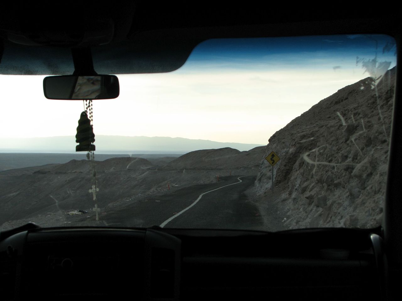
I'm a nervous wreck when we reach the main road.
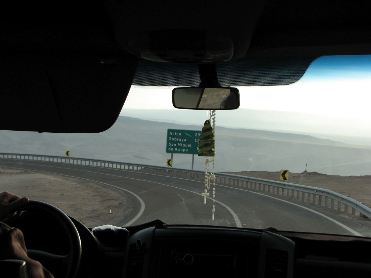
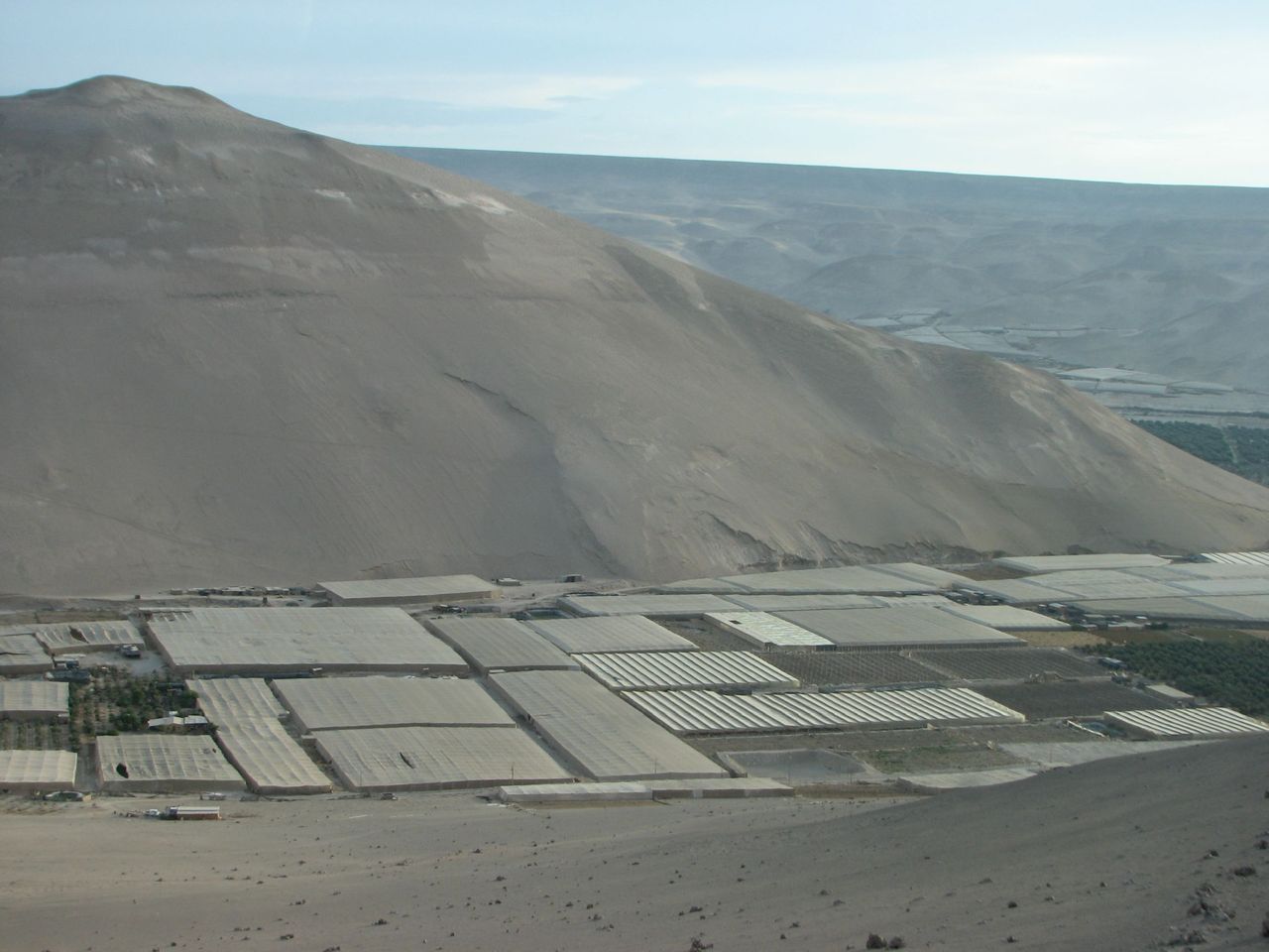
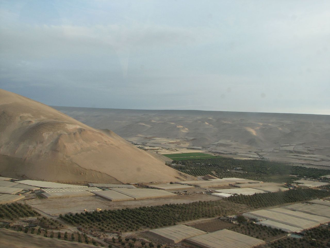
We take the road across the Azapa valley, famous for its olives. Agriculture is much more intensive here, and new crops are being introduced. That's what these greenhouses are for.
This marks the end of my tour and of this tourism bonus. We'll be arriving in Arica in ten minutes. I want to take a shower and sleep for a whole month.
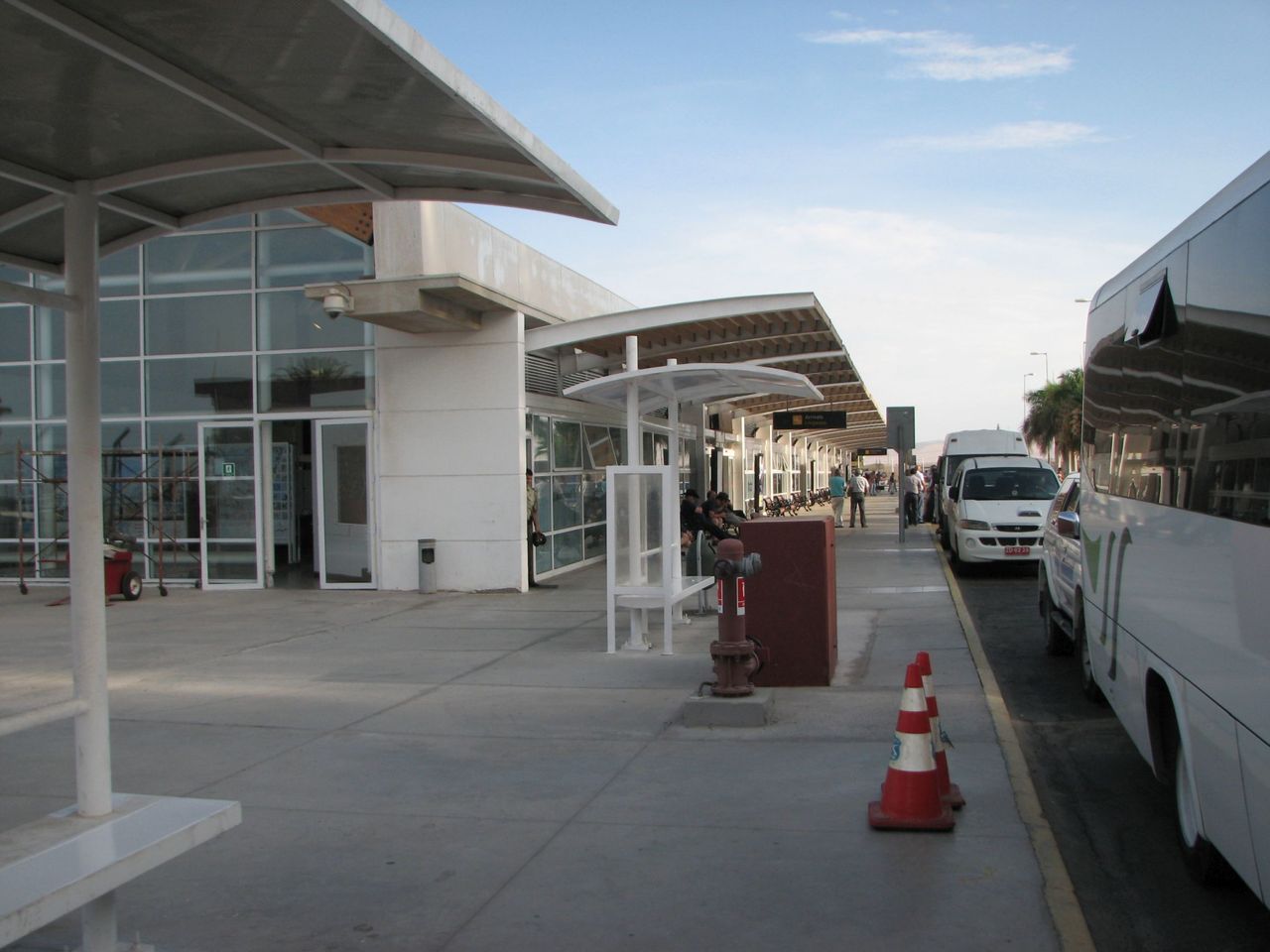
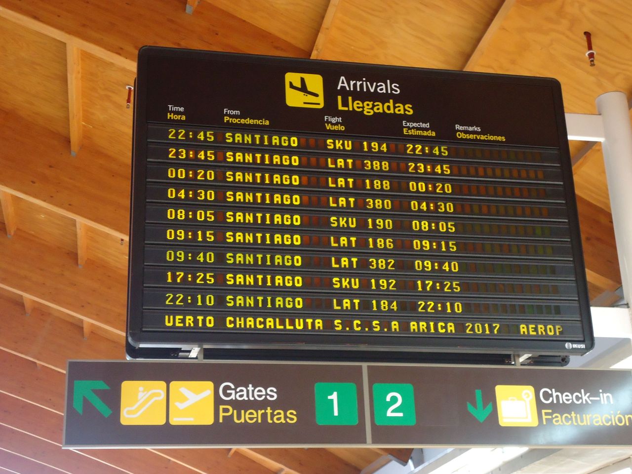
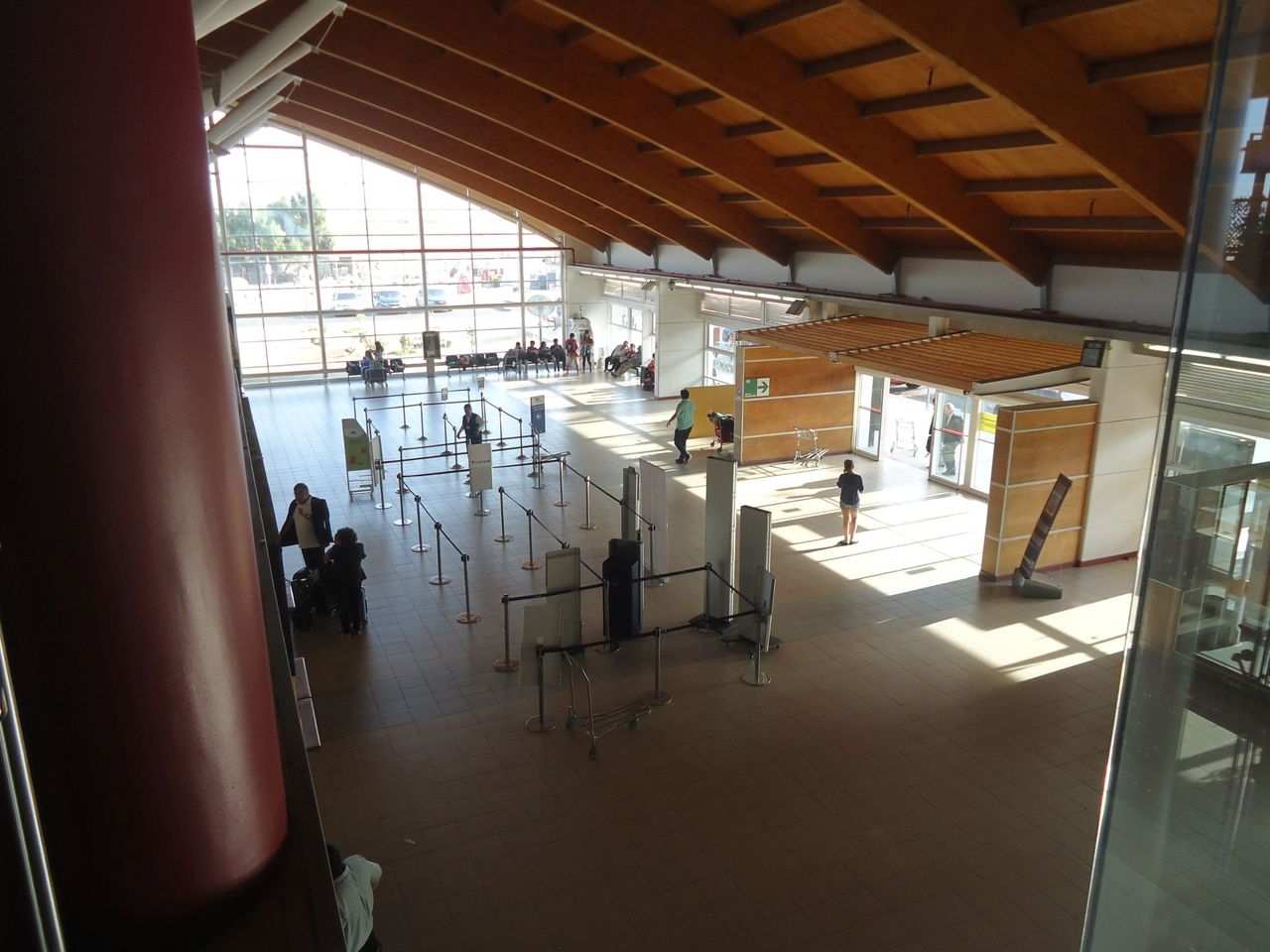
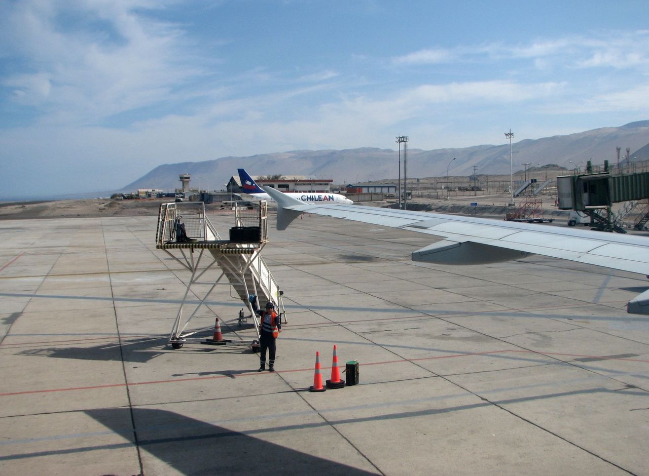
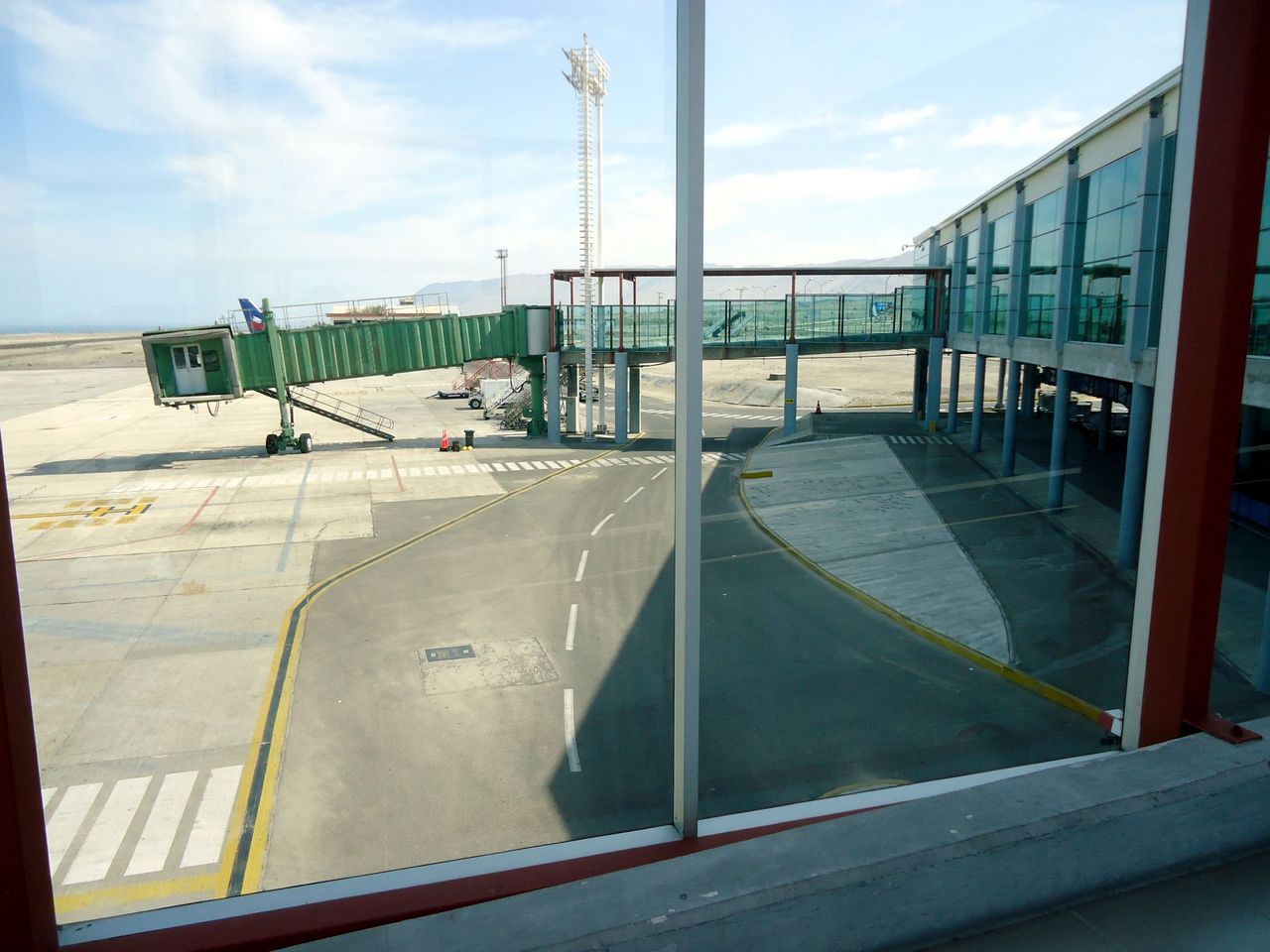
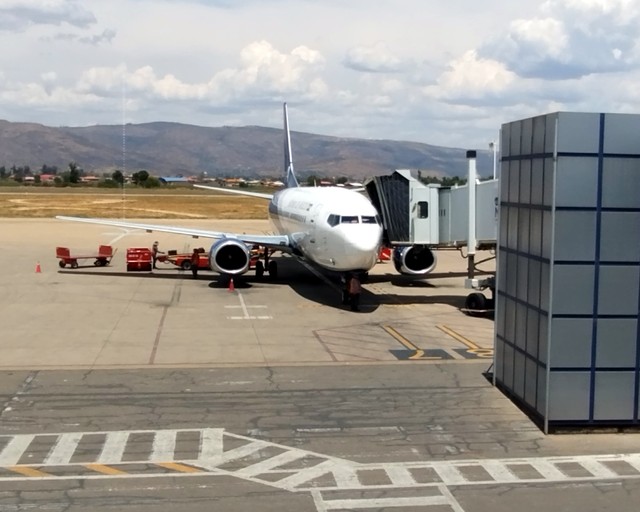
ARI airport
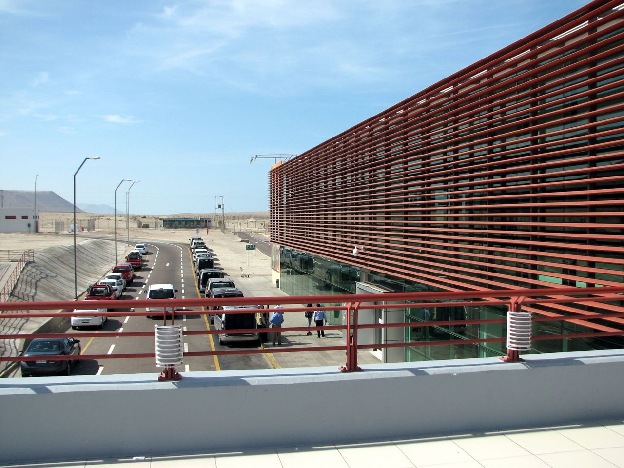
The next day I'm picked up by the transfer at 8 in the morning. The airport is only 15 minutes from the city, on the road to Peru.
Road maintenance.
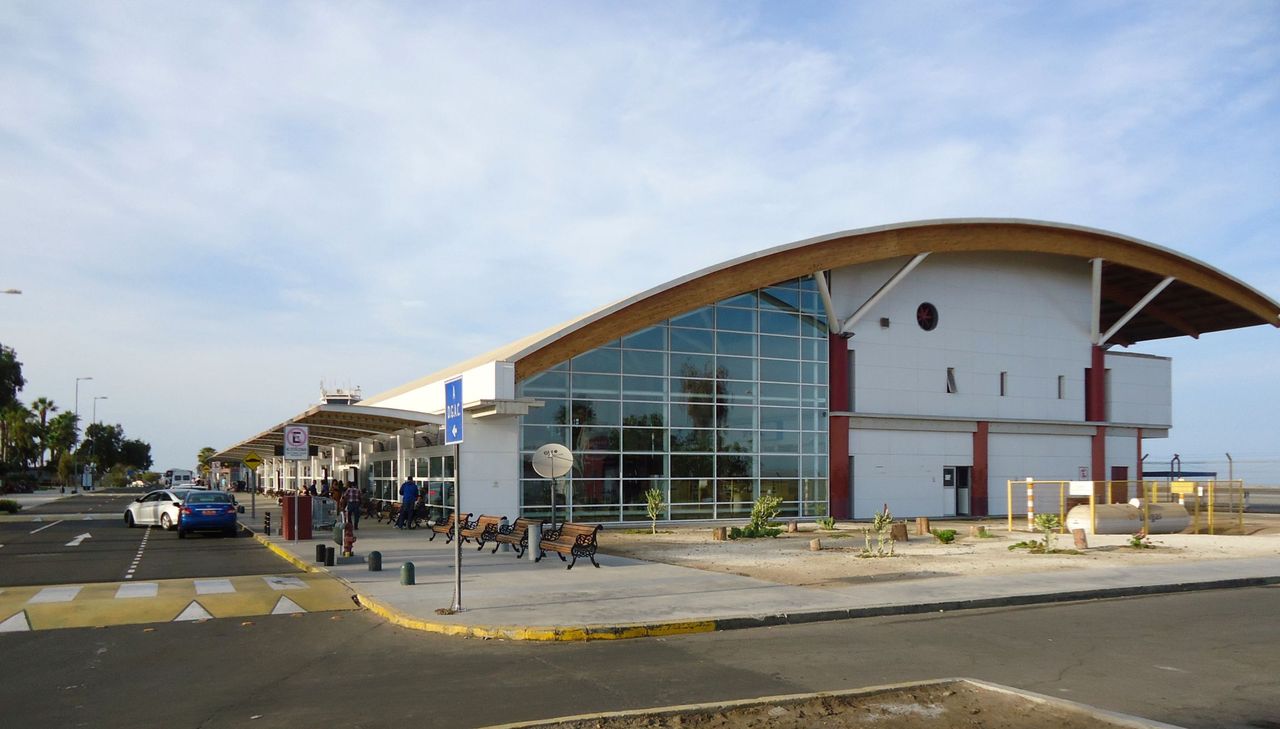
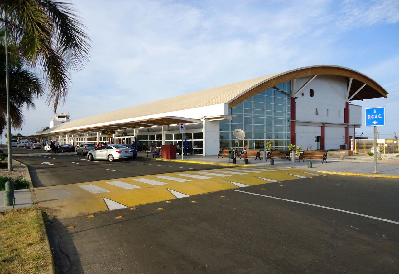
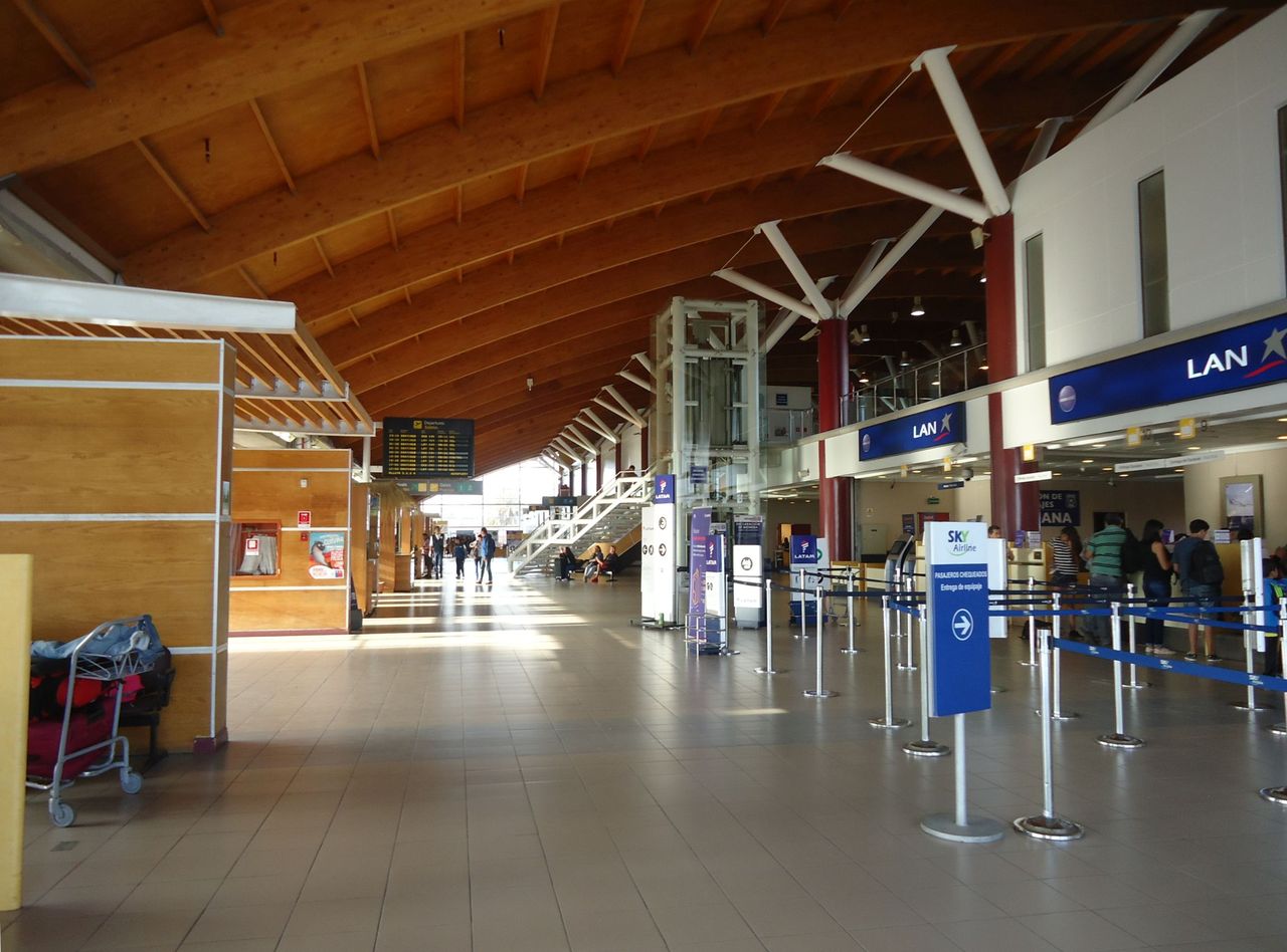
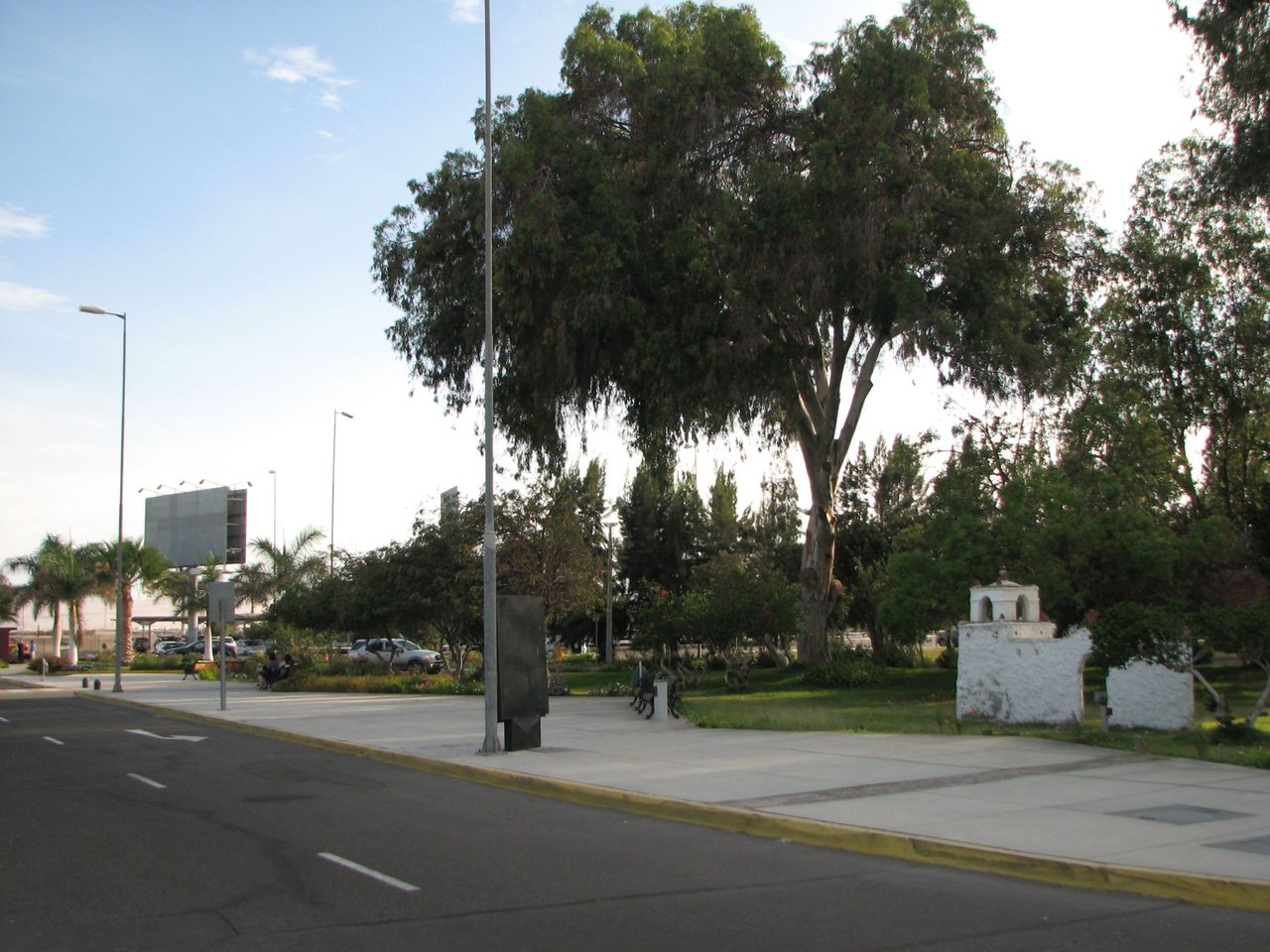
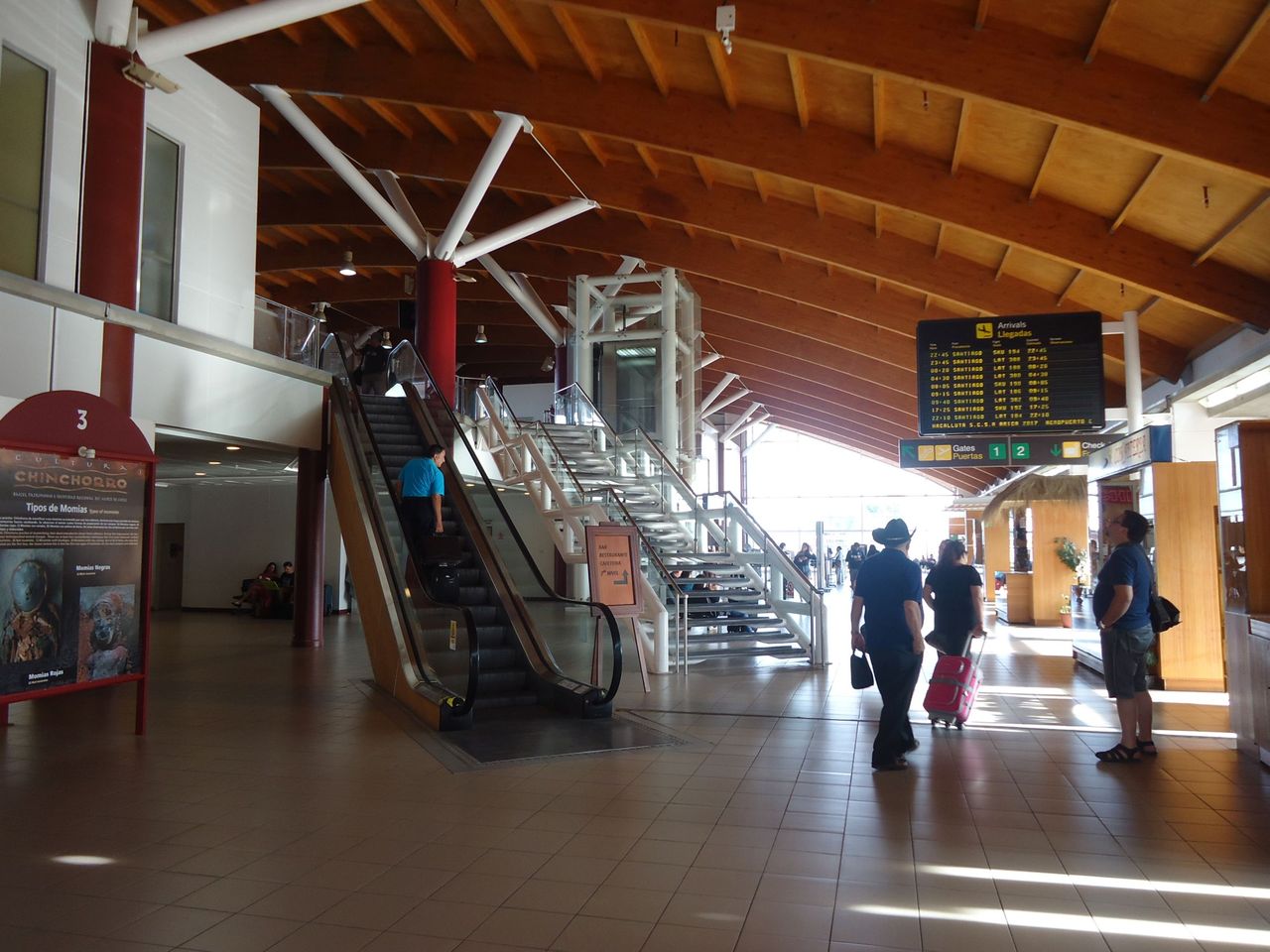
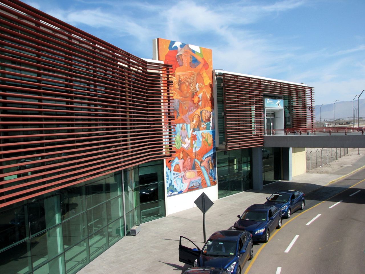
The gardens make ARI look like a little oasis…
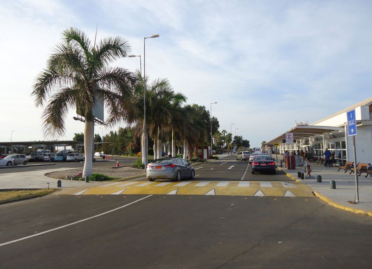
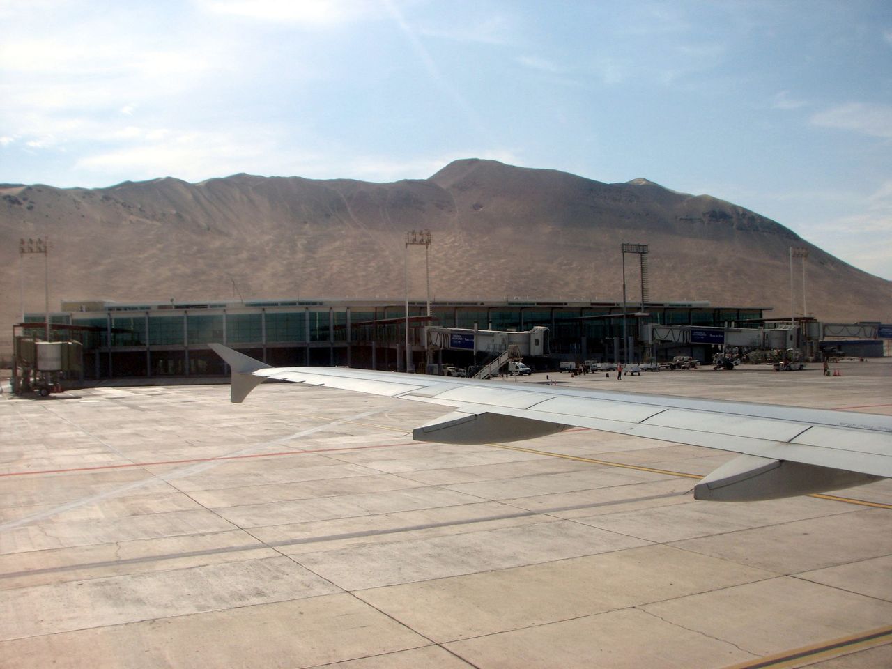
…and the terminal has nothing to do with what I saw back in 1994, my first time here.
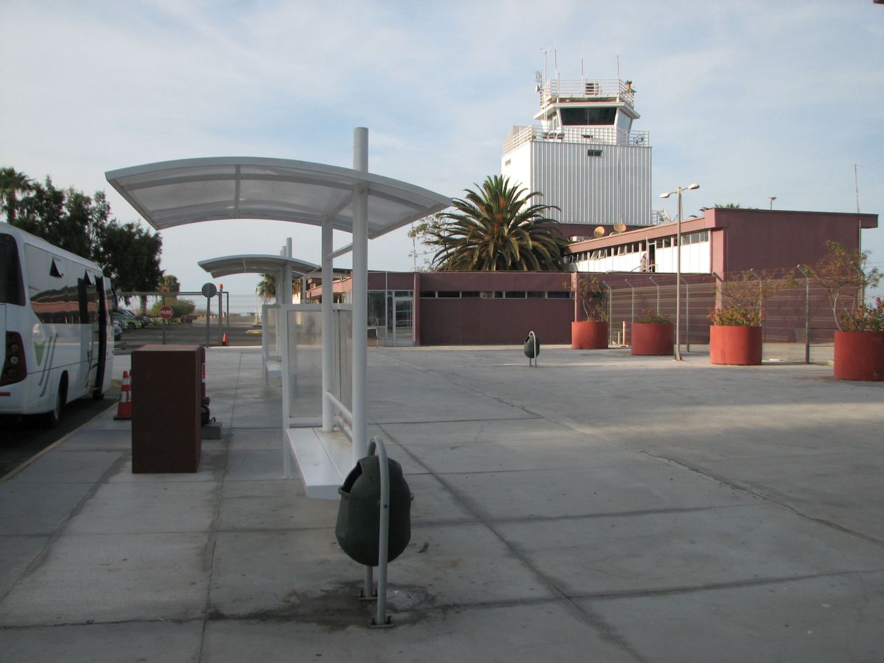
The parking lot opposite the terminal.
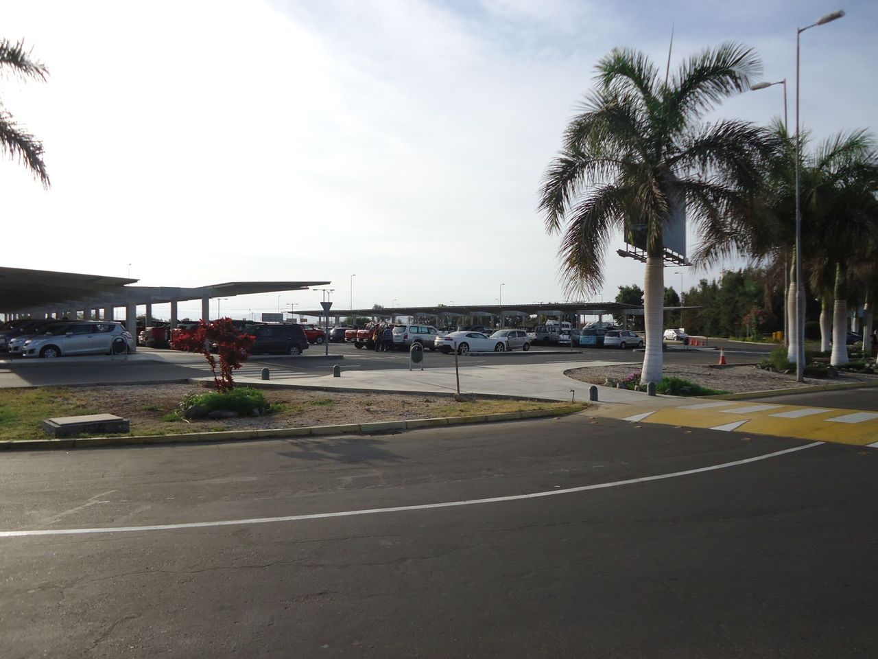
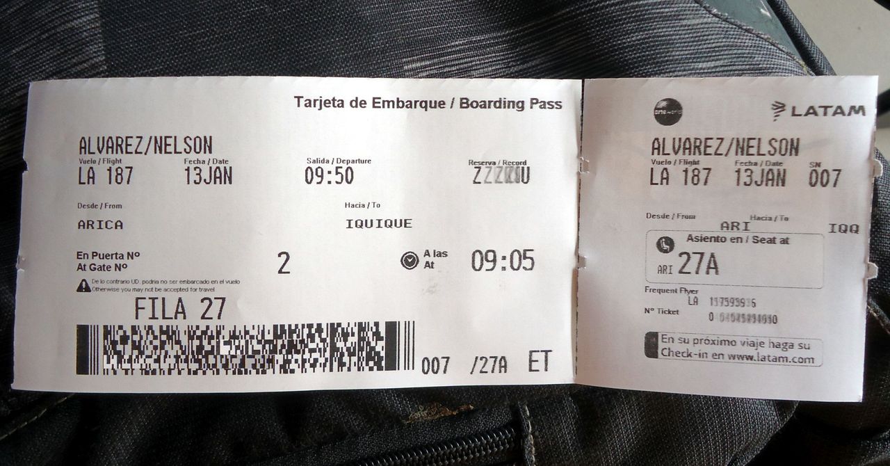
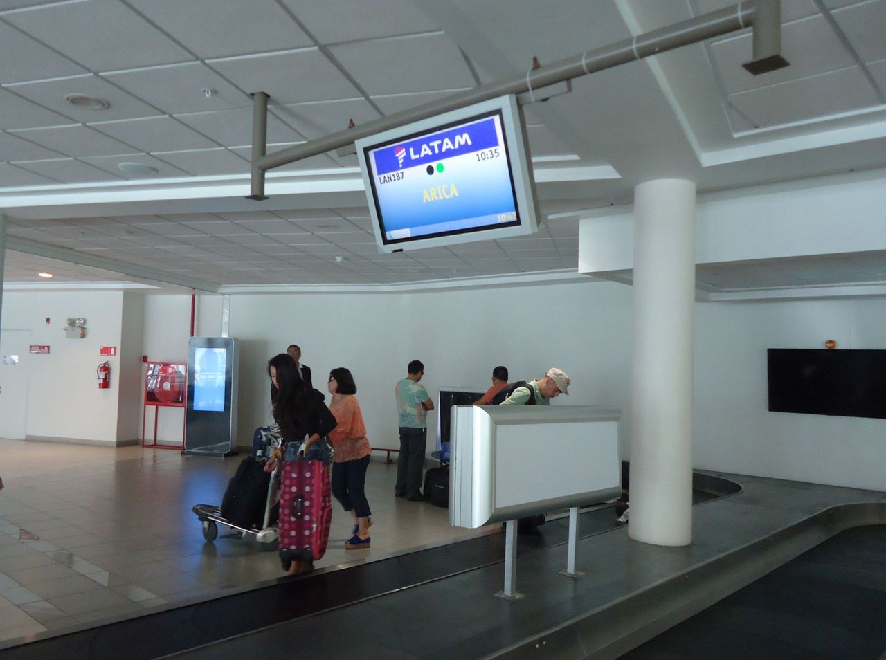
That's good. I won't have to wait.
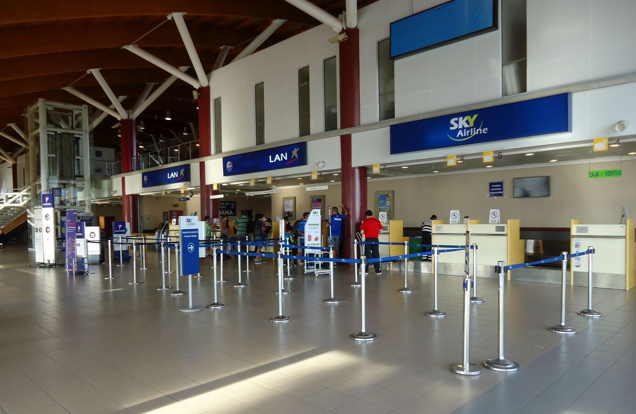
The same as in Santiago, the LATAM staff explains that they are having problems with the QR codes, so the boarding pass on my cellphone is useless.
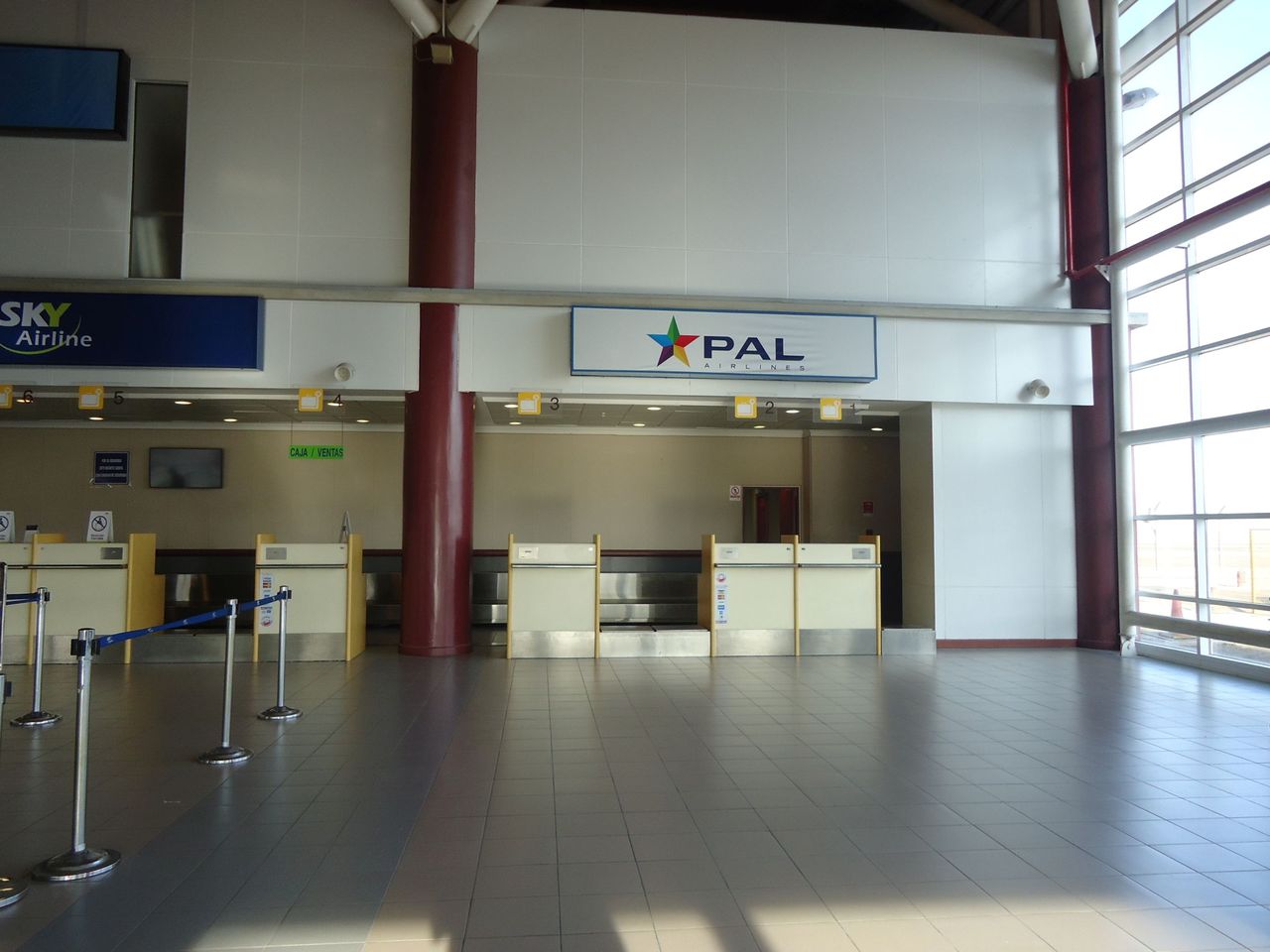
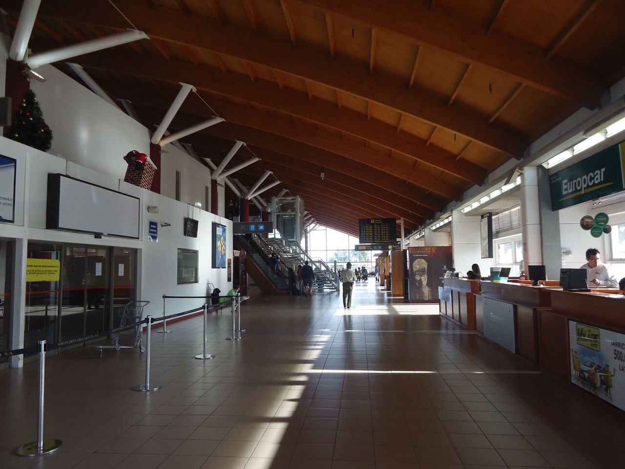
At one end of the terminal is this PAL Airlines counter. PAL operated until 2014. It's bankrupt now. I wonder if they don't have the money to dismantle their counters?
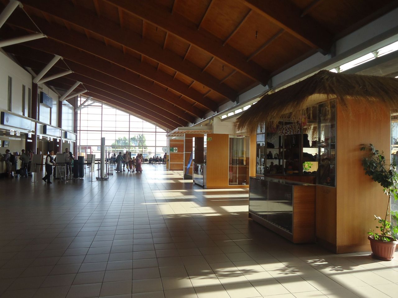
The view from this end of the terminal.
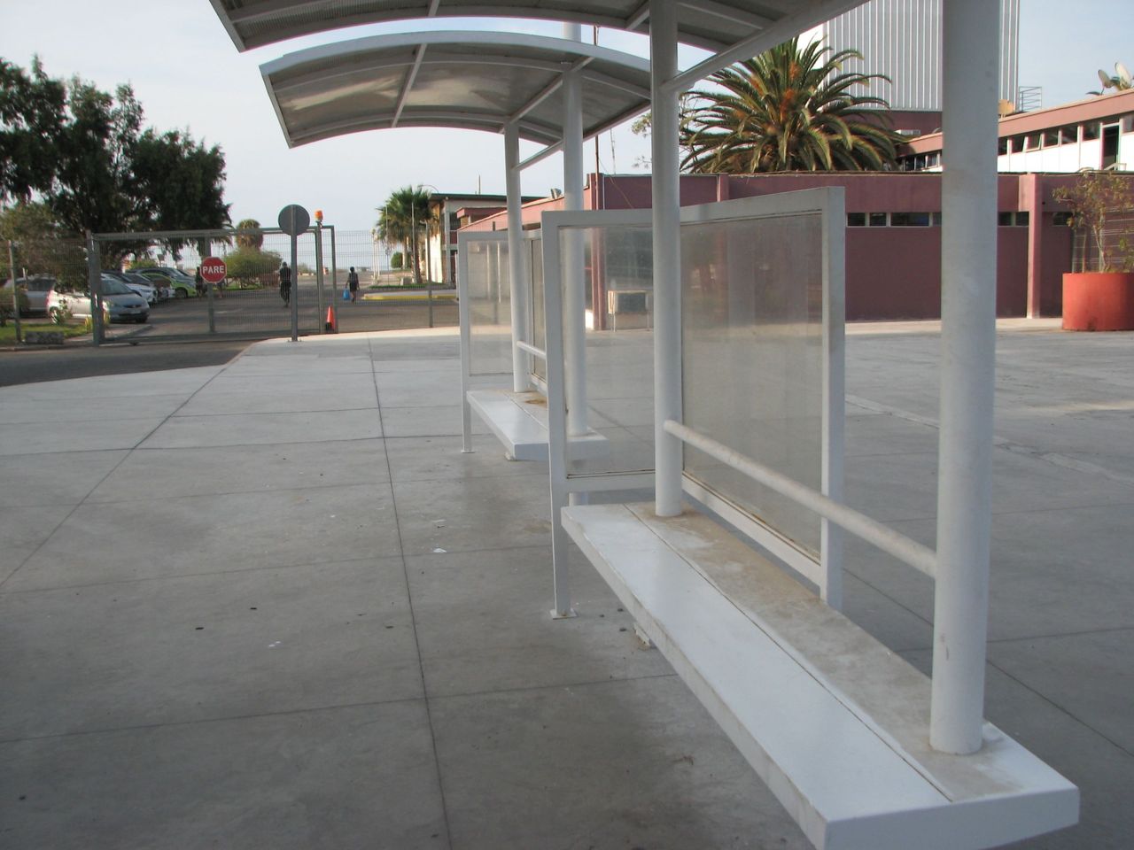
Let's go for a walk outside.
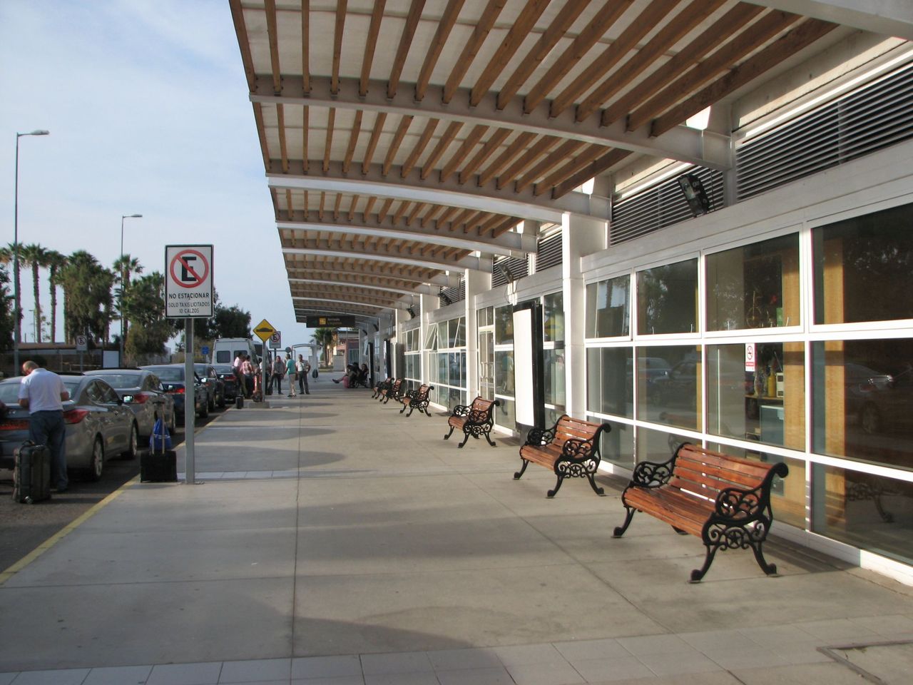
At the far end are these bus stops.
Dust everywhere. This drives me crazy about Arica. It's not that bad in Iquique.
A nice park opposite the terminal. People in the north of Chile crave for greenery.
Let's go back.
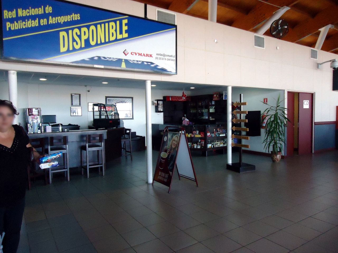
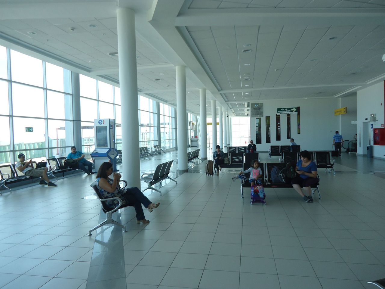
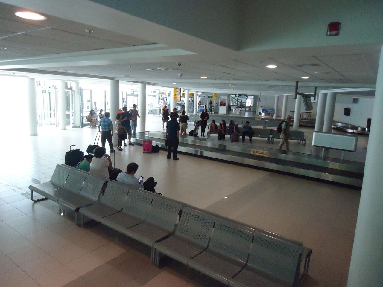
Back inside. There's a cafeteria and baggage claim at this end.
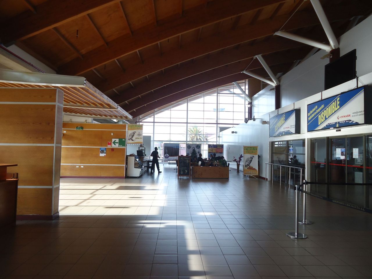
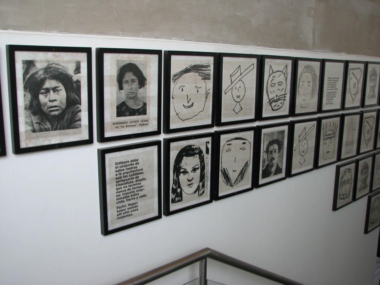
It's January 13. Please! Won't anyone put those Christmas ornaments away? What do I see over there, opposite the escalator?
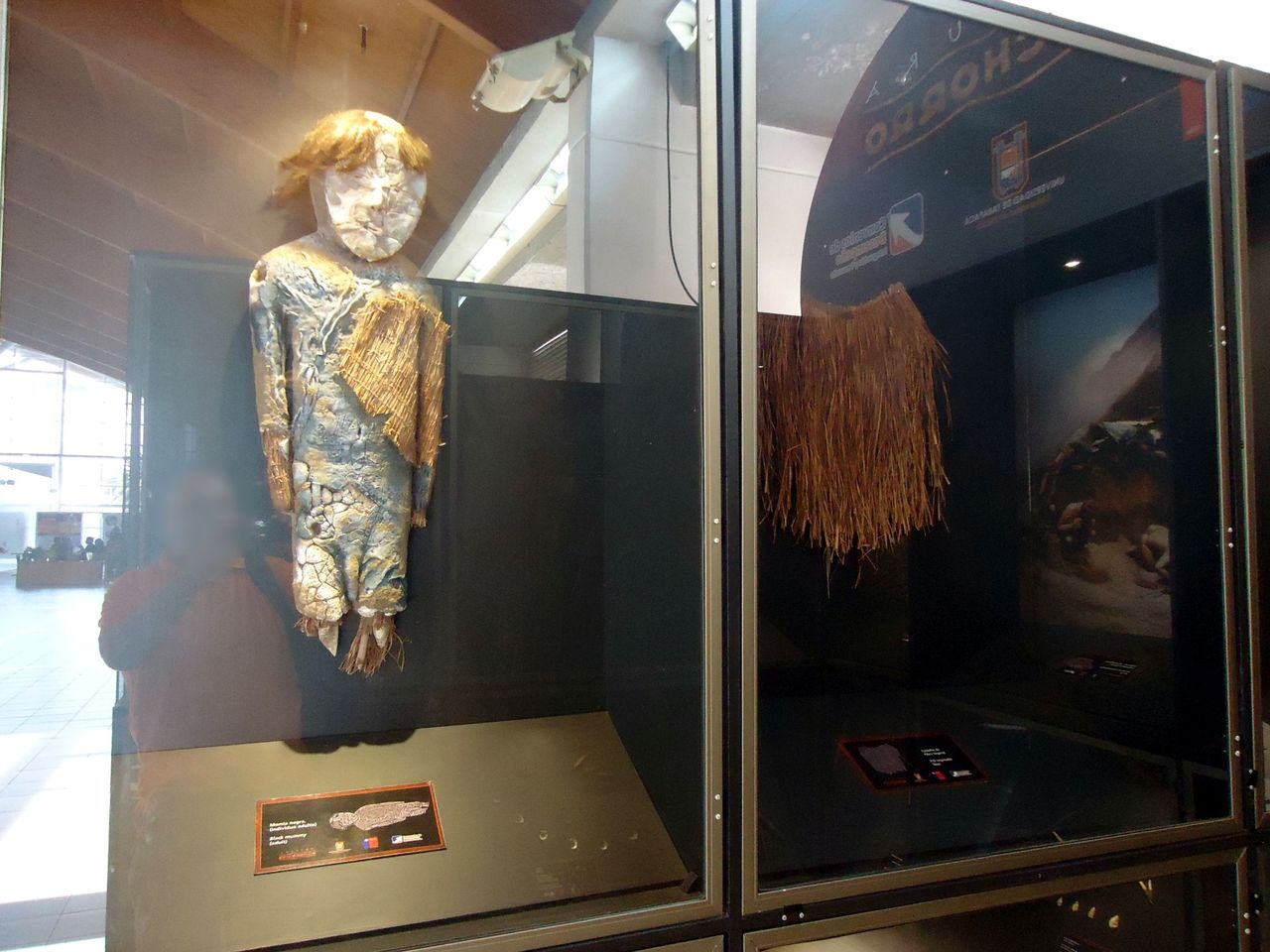
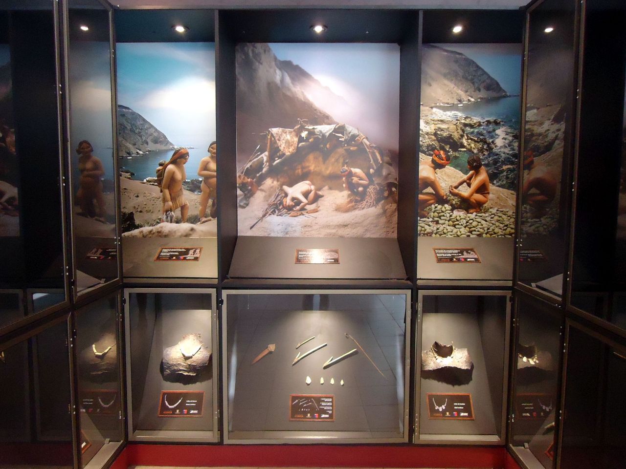
An exhibition! The Chinchorro Culture. They inhabited this area from 7000 to 3500 b.C. and left mummies…
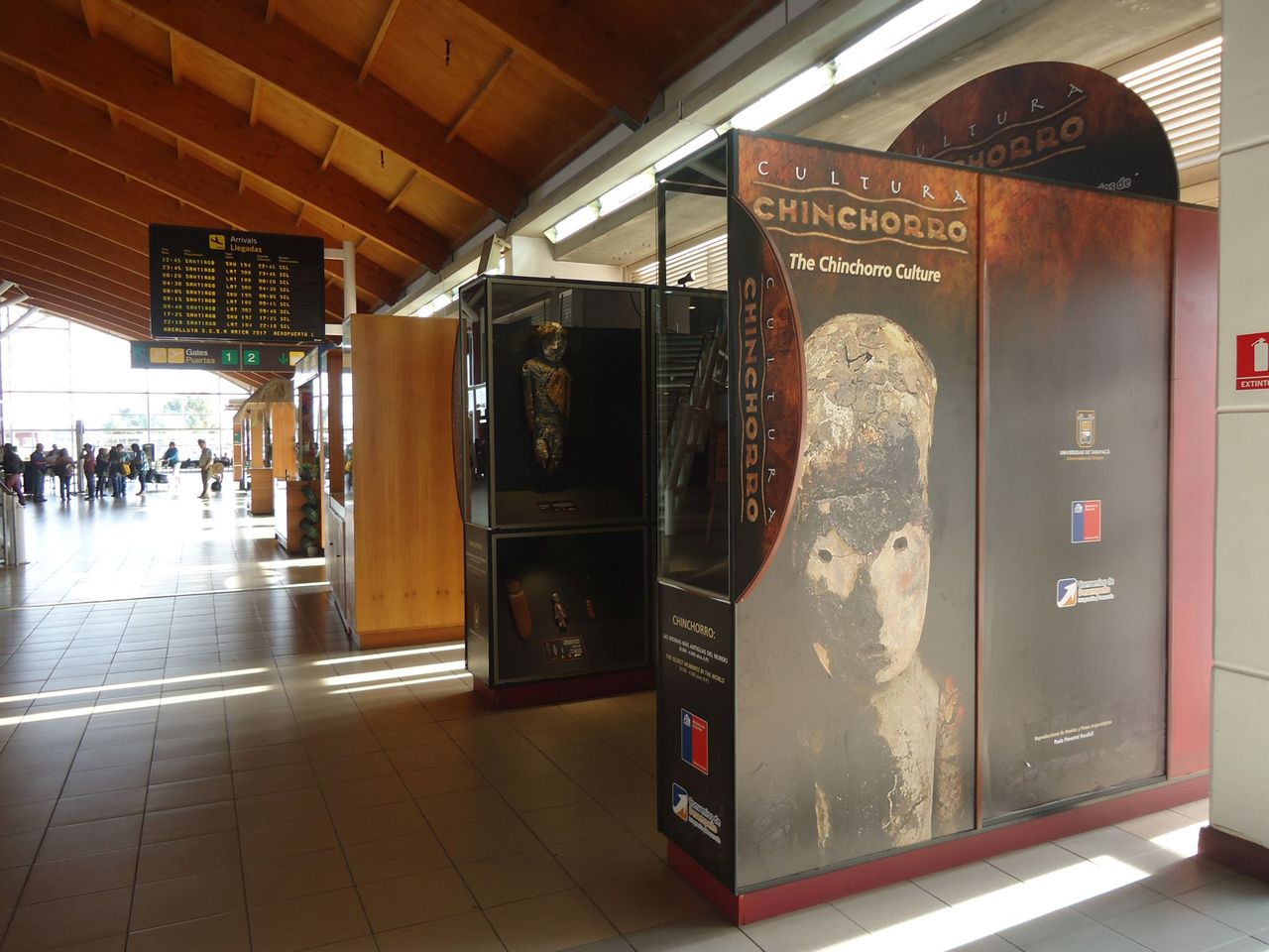
…like this. Wouldn't you like to look that good if you where 9000 years old?
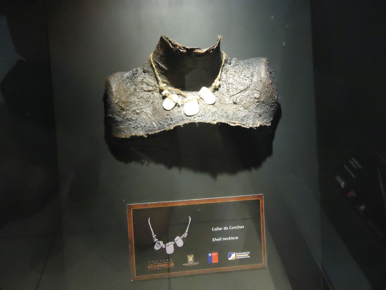
Some Chinchorro artifacts.
Knife, harpoons and arrow tips.
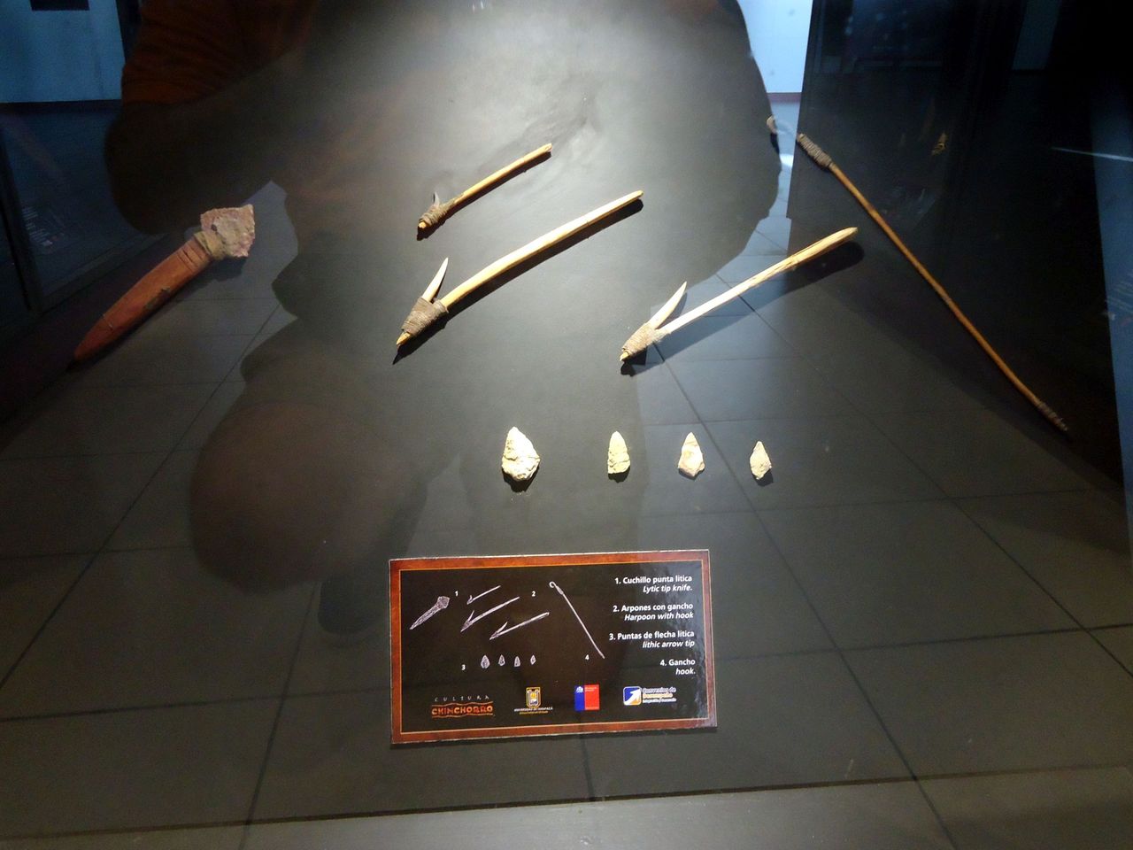
The kind of stuff that Fred Flintstone would give Wilma for their anniversary. ^^
This FIDS is more or less from the same period.
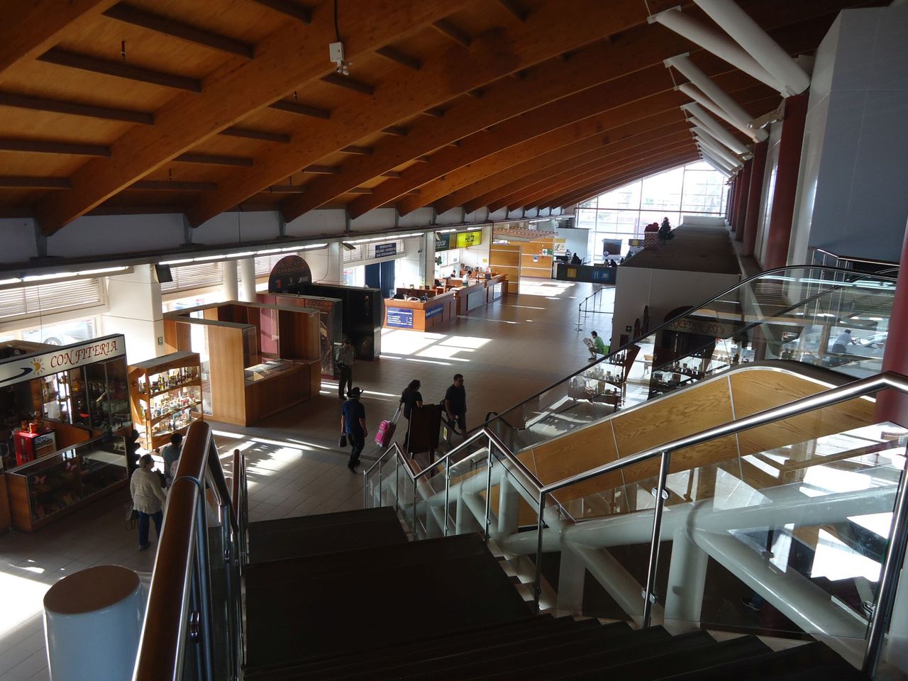
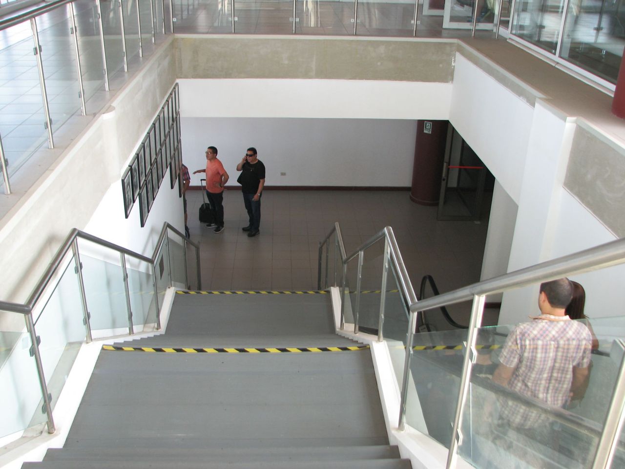
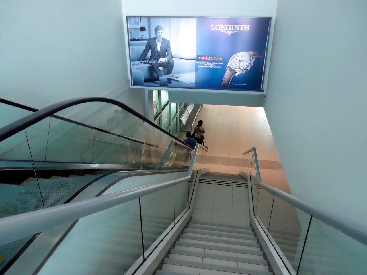
Past the exhibition are the stairs, the elevator…
…and some small shops.
Time to go airside. This is the view from the top of the stairs to the right…
…and to the left.
On the second floor, security check is right next to the escalator…
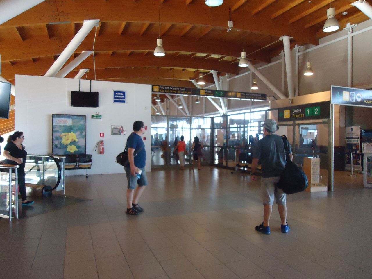
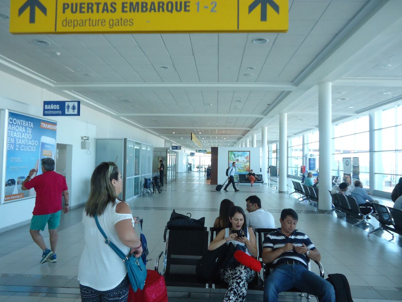
…and a waiting area at the other end.
The line for security check is not long and moves fast.
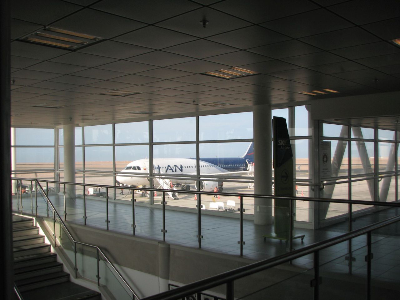
Airside.
A cafeteria on the left.
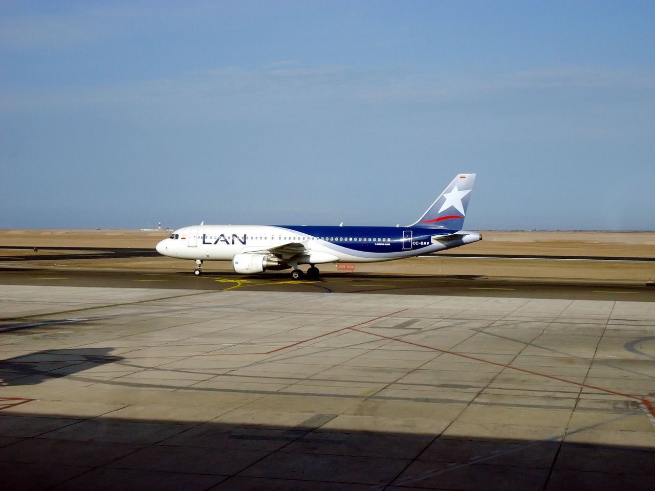
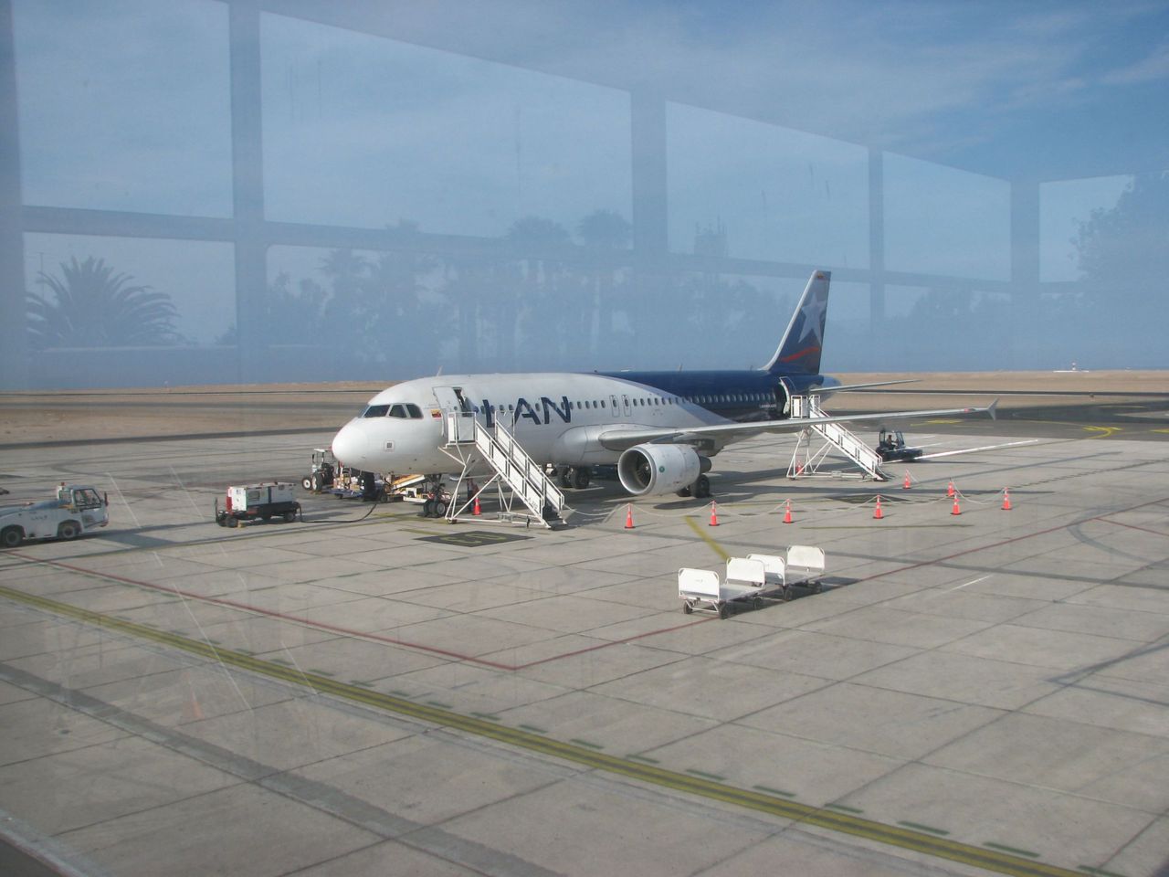
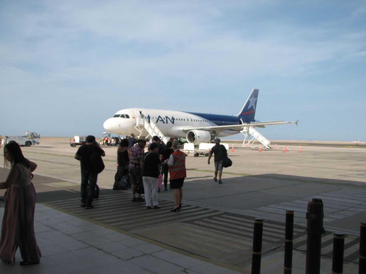
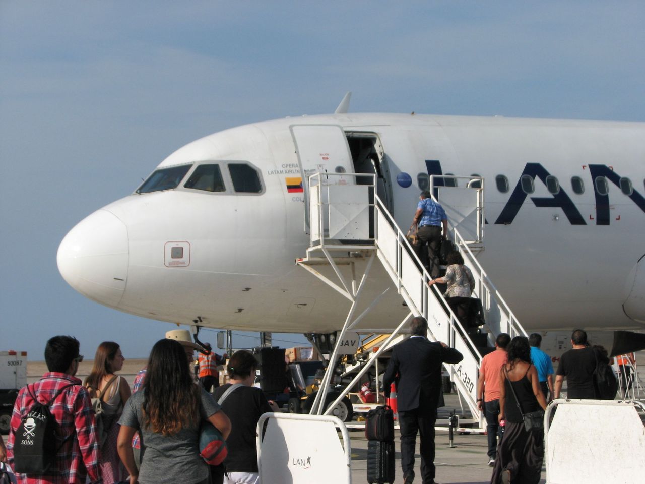
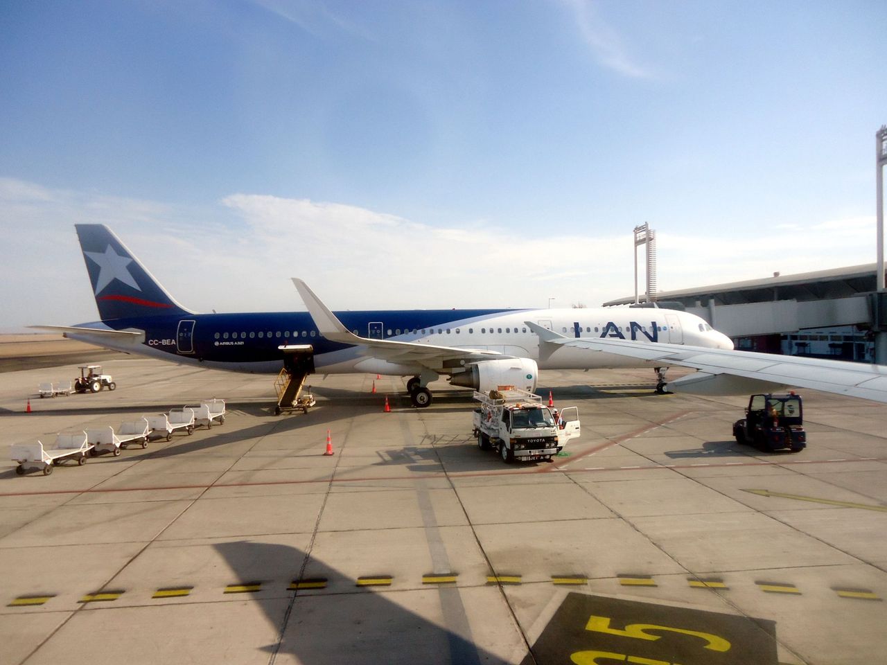
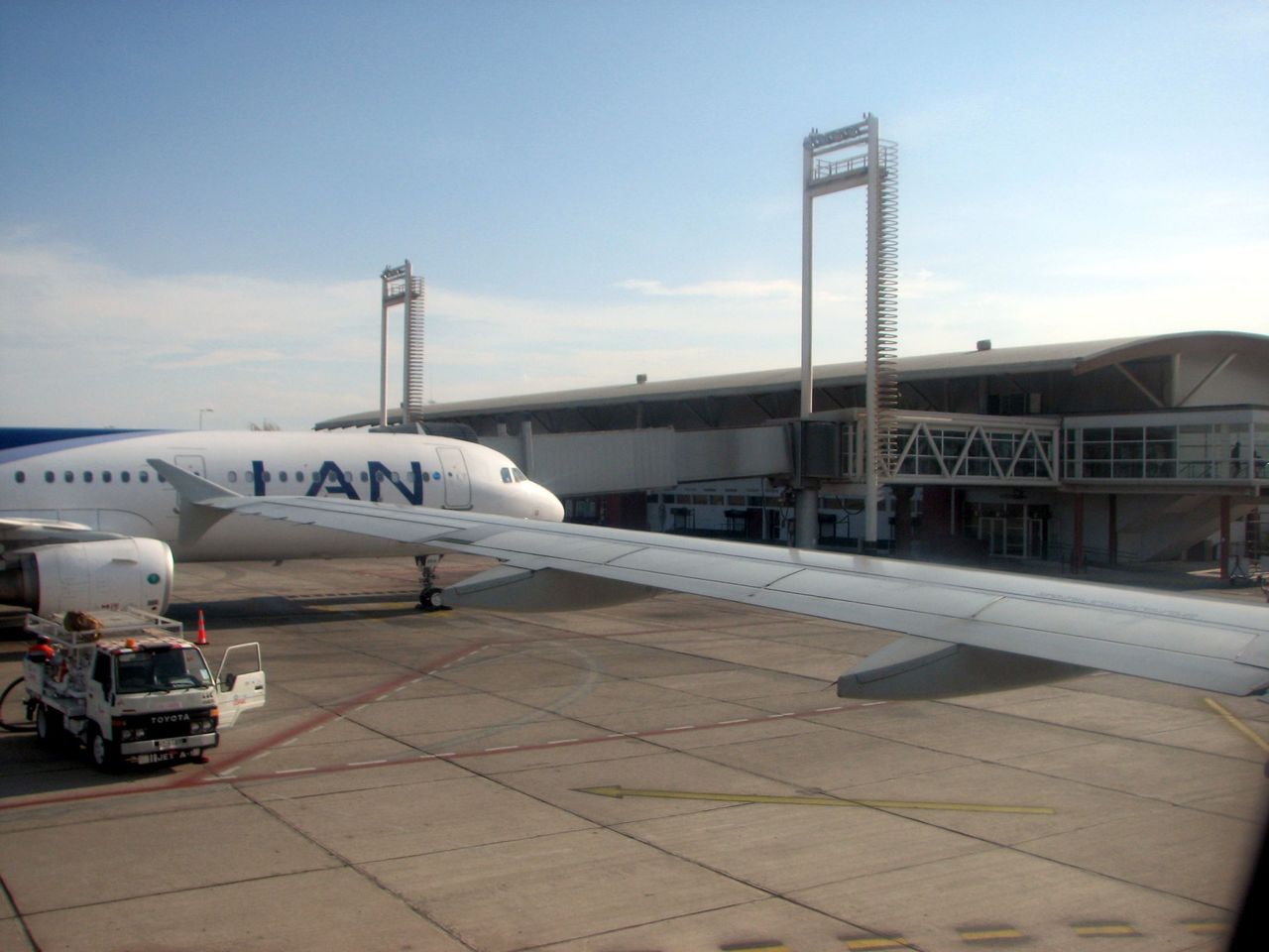
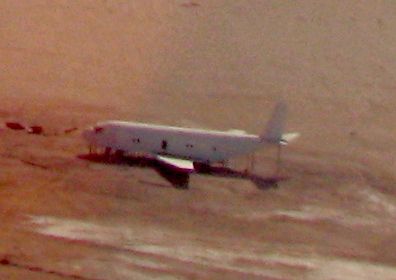
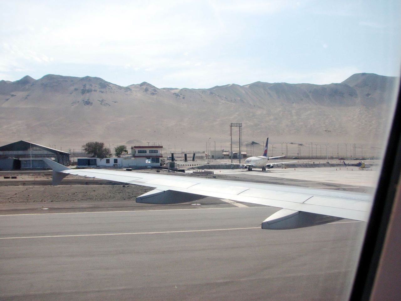
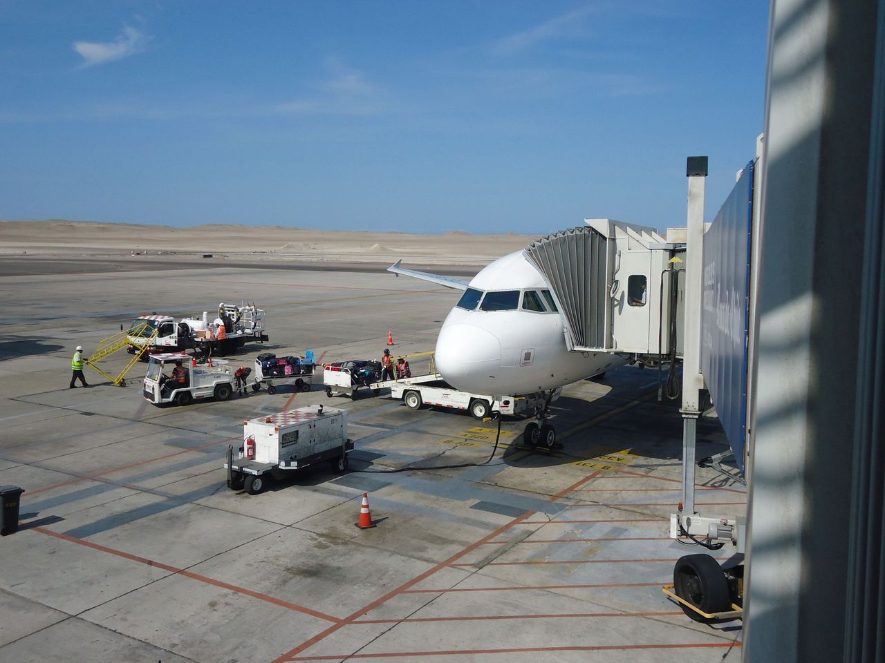
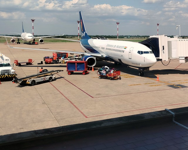
Lucky me! CC-BAV is just arriving.
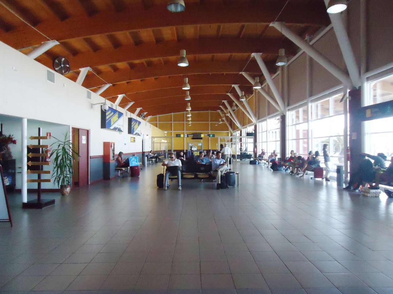
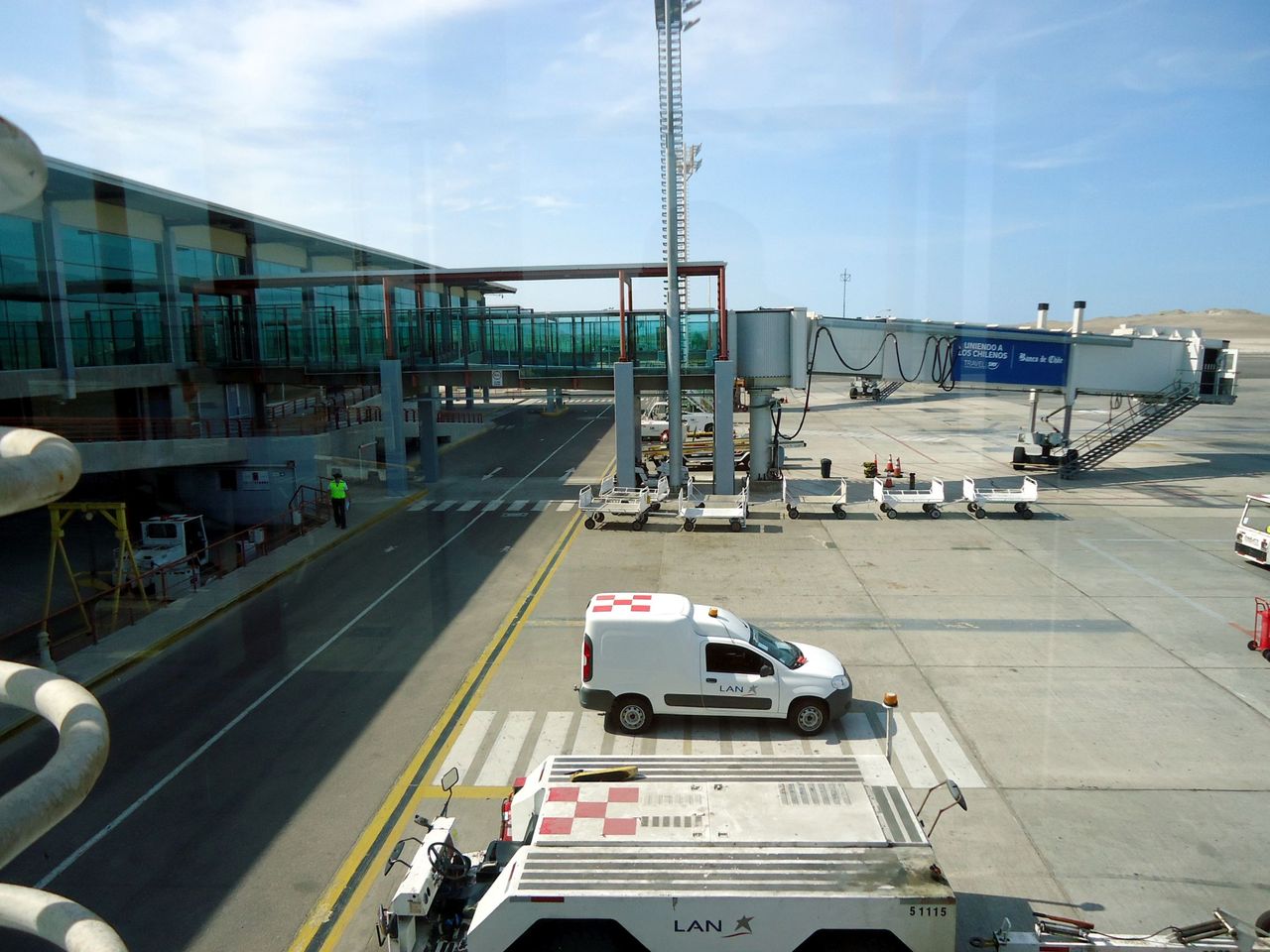
As far as I know, ARI doesn't handle any international flights at the moment, but it is officially an international airport, so it has customs and police control (PDI = Policía de Investigaciones)
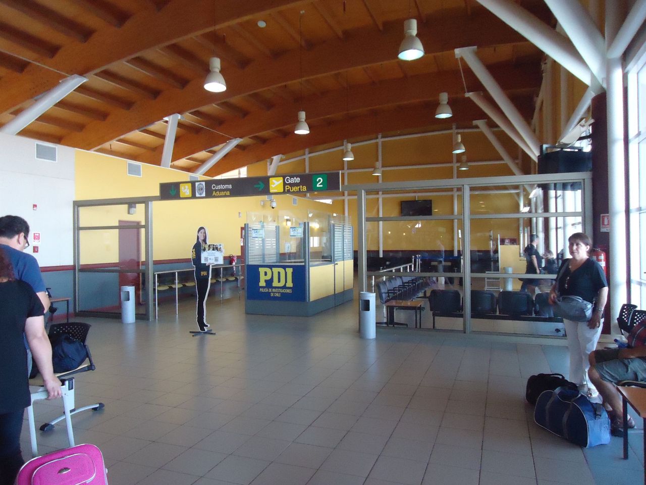
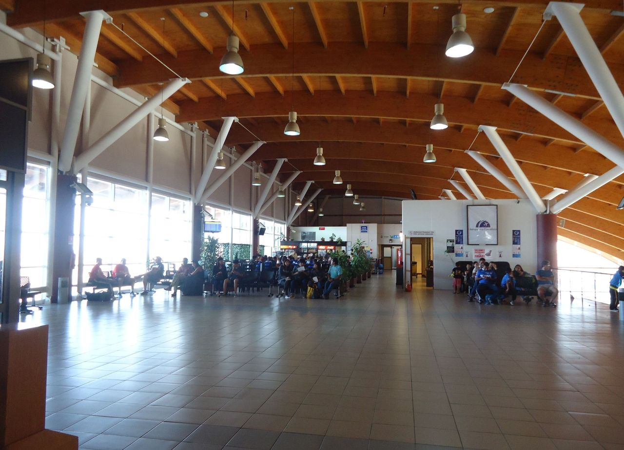
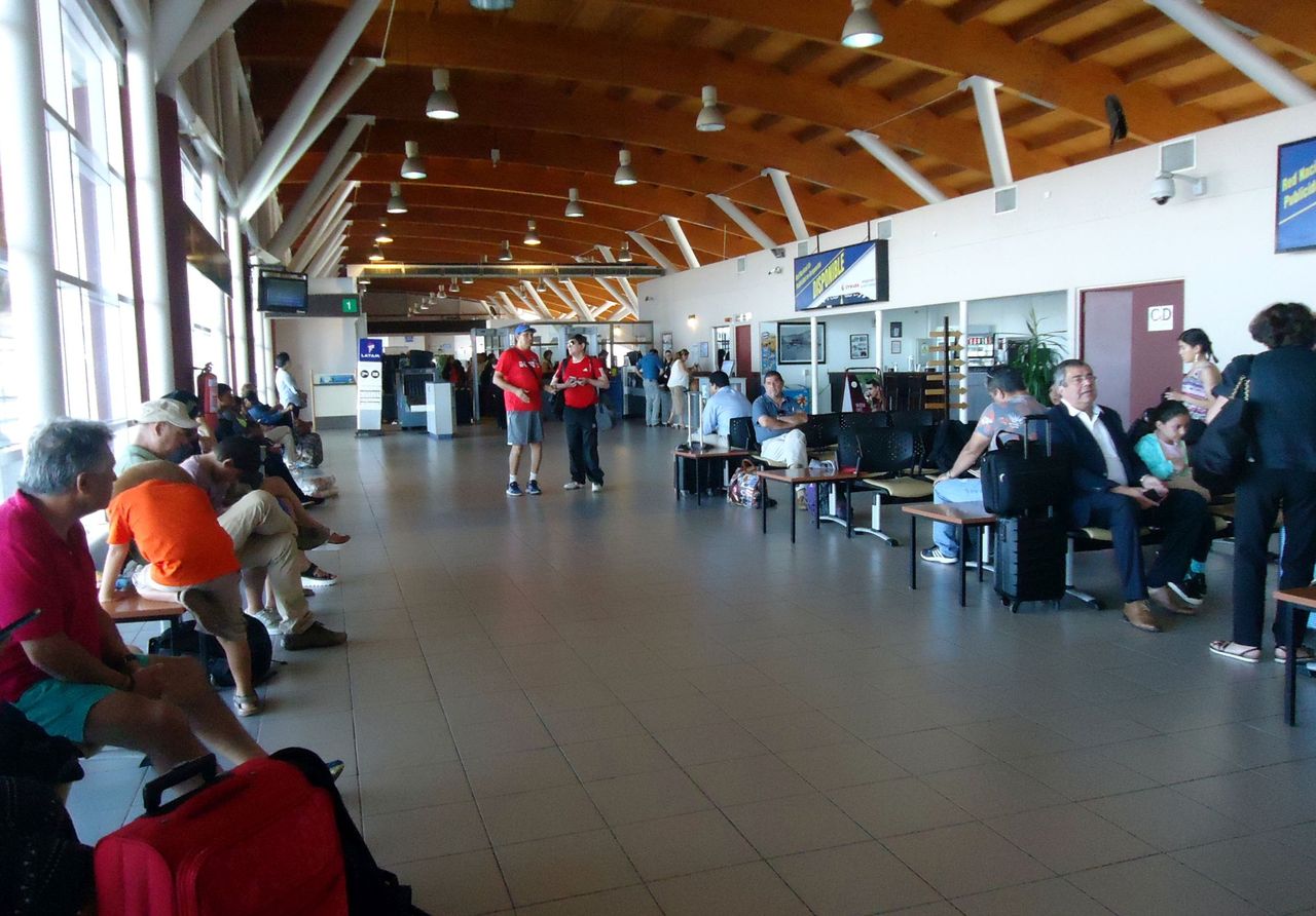
The boarding room.
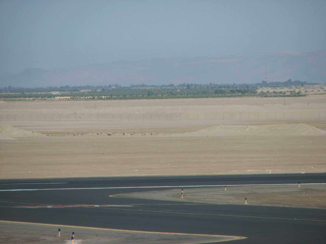
They say that the grass is always greener on the other side. That's completely true in this case. The green side in this photo is Peru, and the desert is Chile.
CC-BAV sits on the tarmac. The passengers from Santiago have already disembarked.
I'm looking around the place before it's time for boarding when I suddenly see this contraption by the restroom door. What is it?
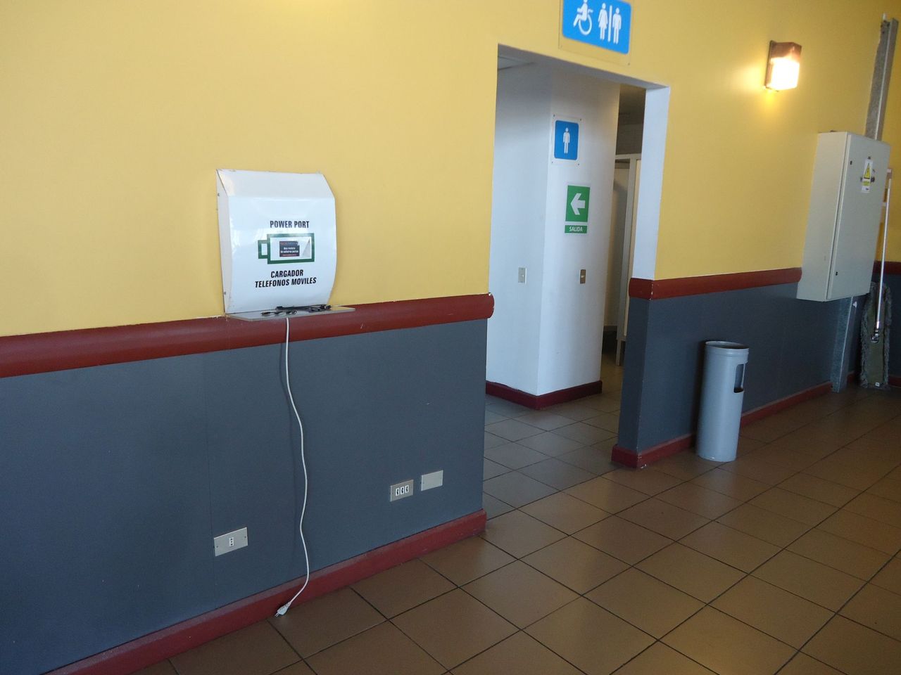
This is incredible!! A cellphone charger!! The very same device that you won't find at SCL - our largest, most important airport - is available right here, at this humble little airport in the middle of nowhere!!
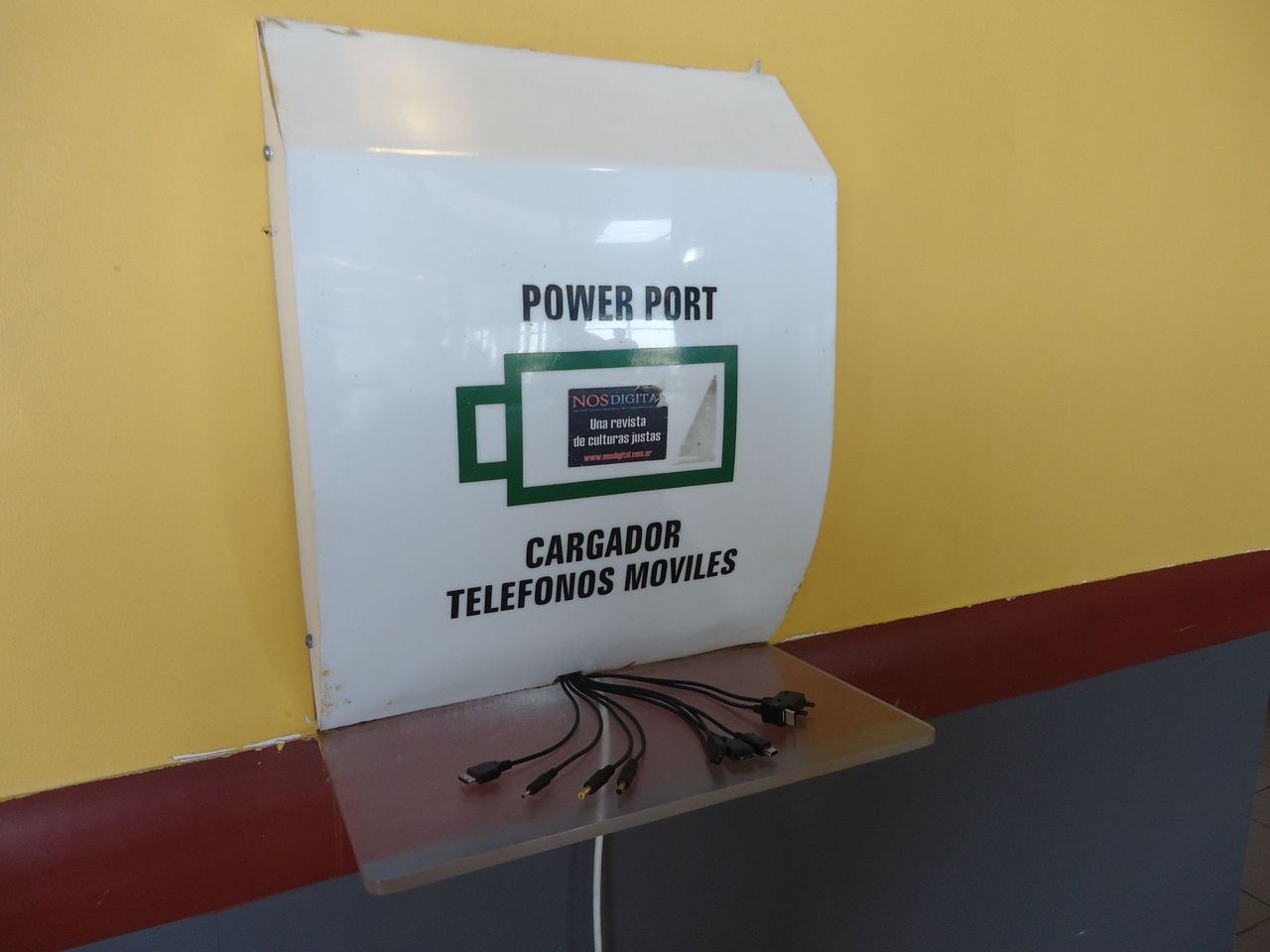
And it features a series of different connectors, in case you don't have your charger with you. I think it's amazing!! Well, it would be amazing…
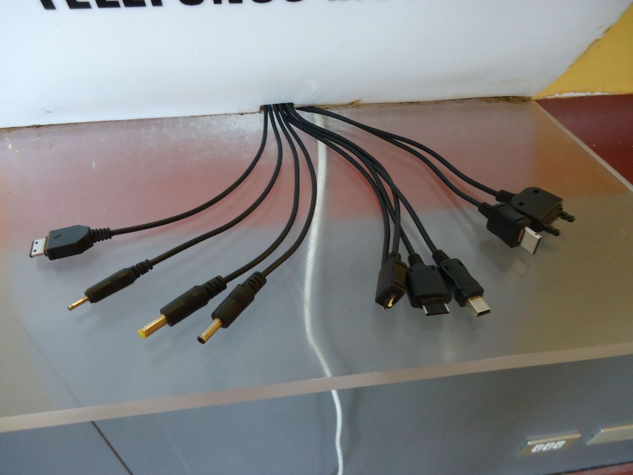
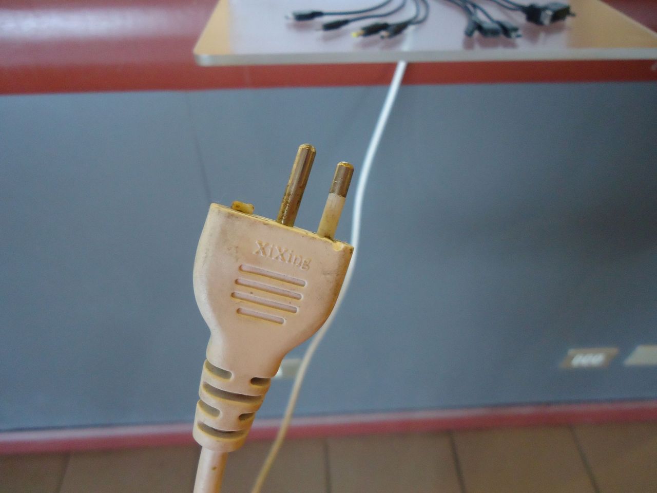
…IF - IT - ONLY - WORKED!!!! :'''(
Some passengers won't let this inconvenience prevent them from charging their phones.
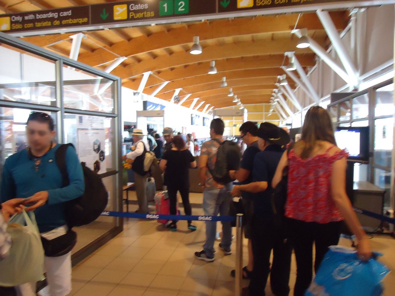
We are called to our gate.
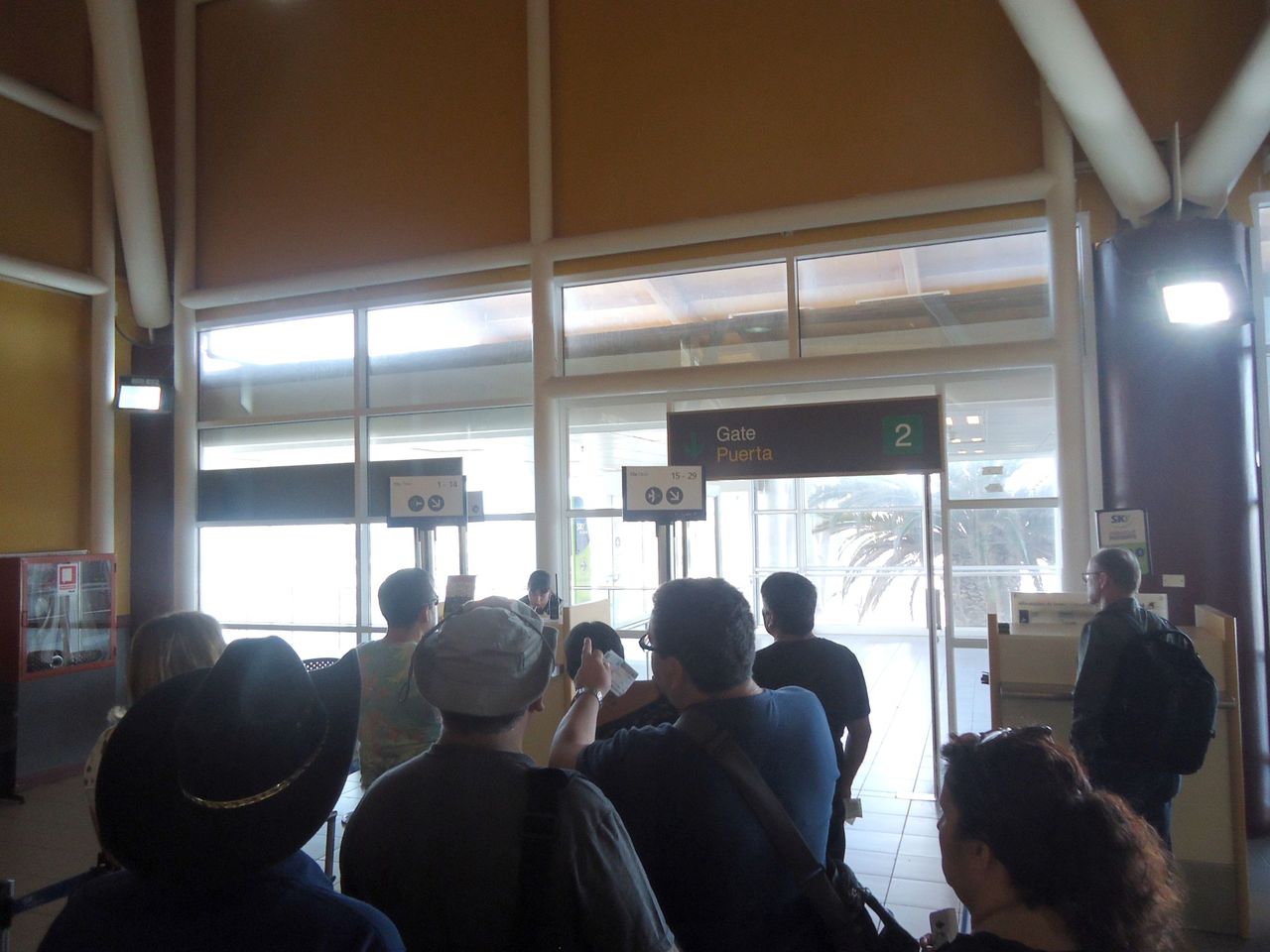
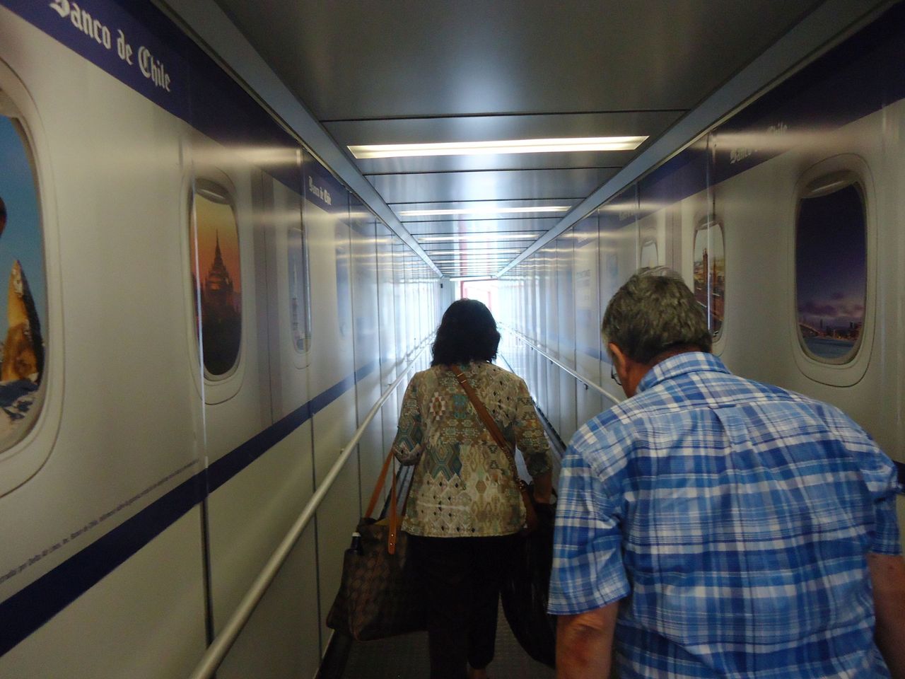
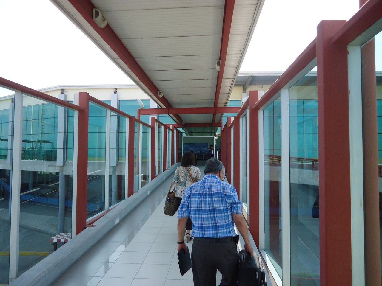
Boarding
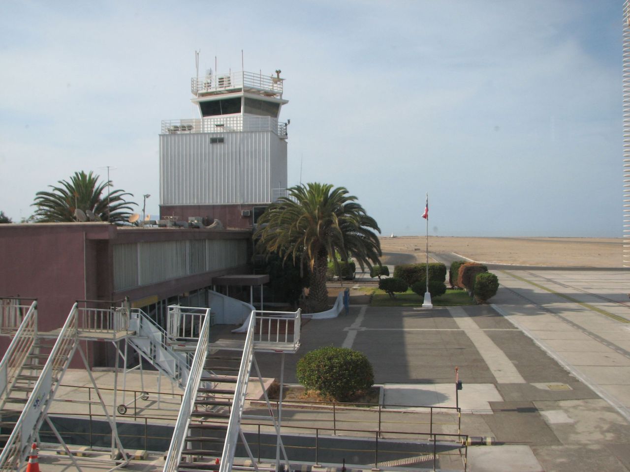
We're not using a jetbridge, but will go out to the tarmac down those stairs.
From the windows I have a sight of the control tower.
How can they be so lazy! using the stairs is healthier!
There's a small exhibition by a local artist by the stairs.
At the foot of the stairs is the access to baggage claim…
…and the access to the tarmac is on the left.
We're boarding through both doors. I must go to the rear door.
I'm not the only photographer here.
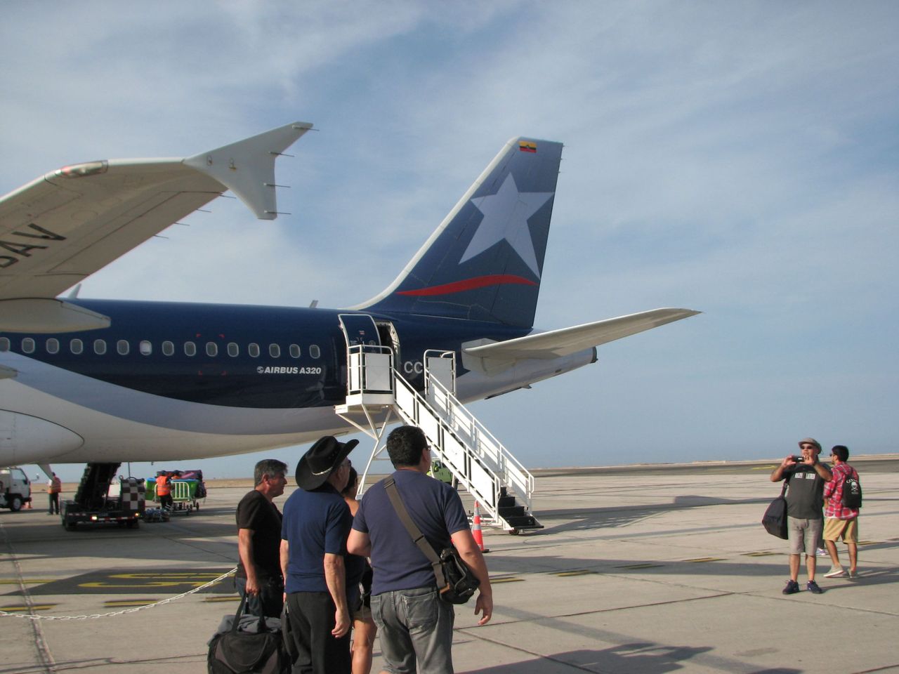
CC-BAV looks shiny and blue. Don't change this livery, pleeeaaase!! :'''(
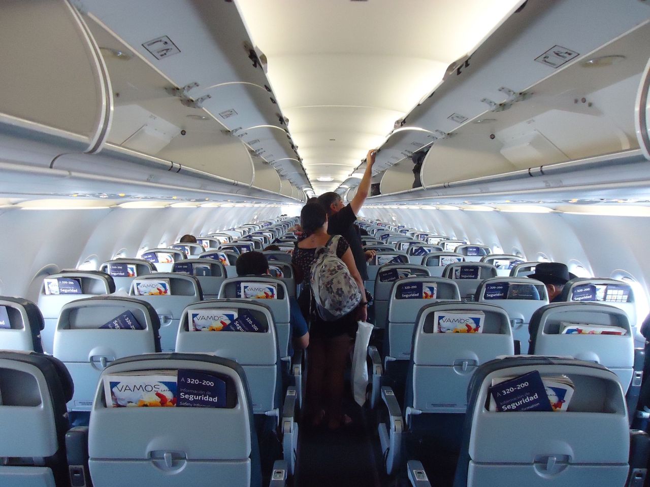
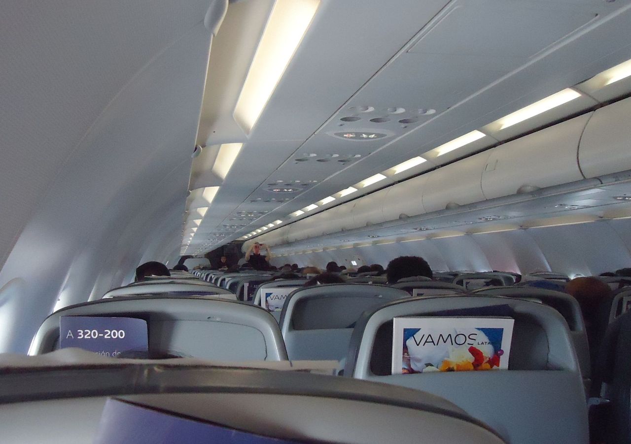
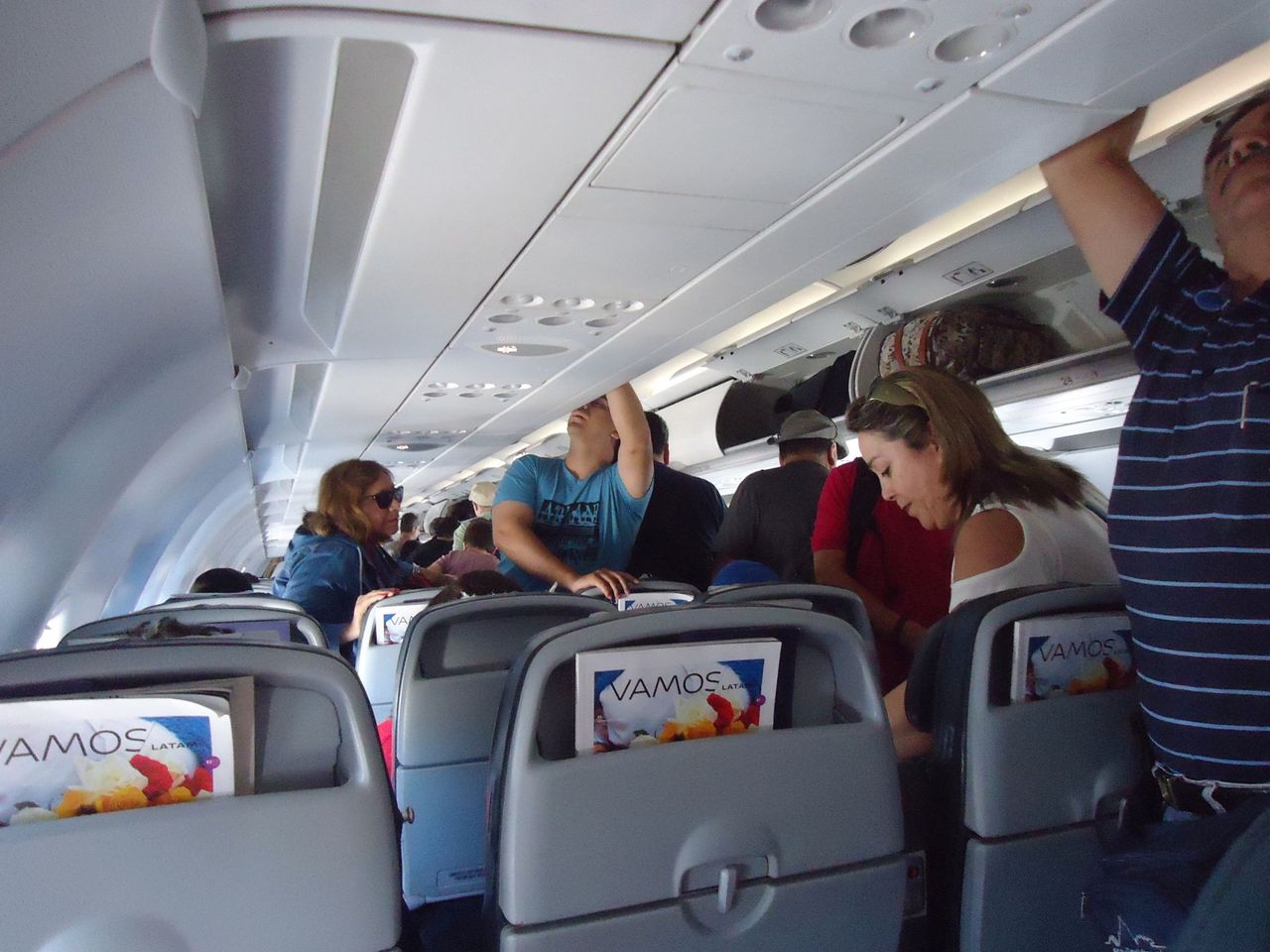
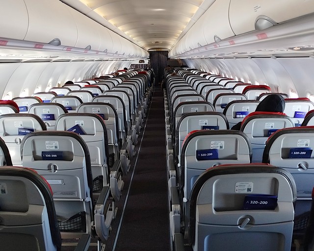
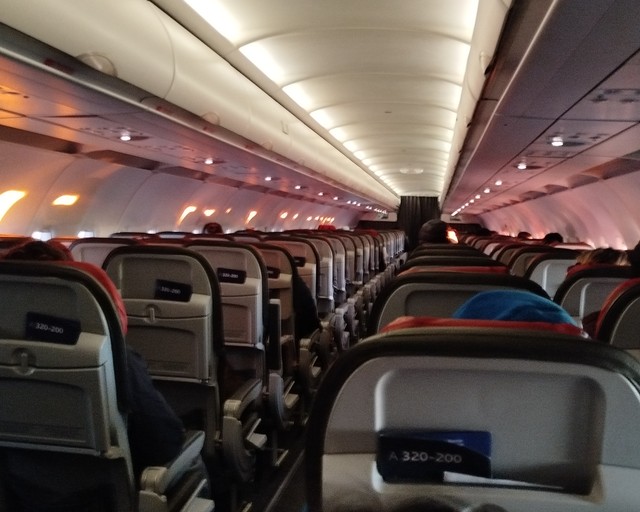
The cabin as I board.
My seat.
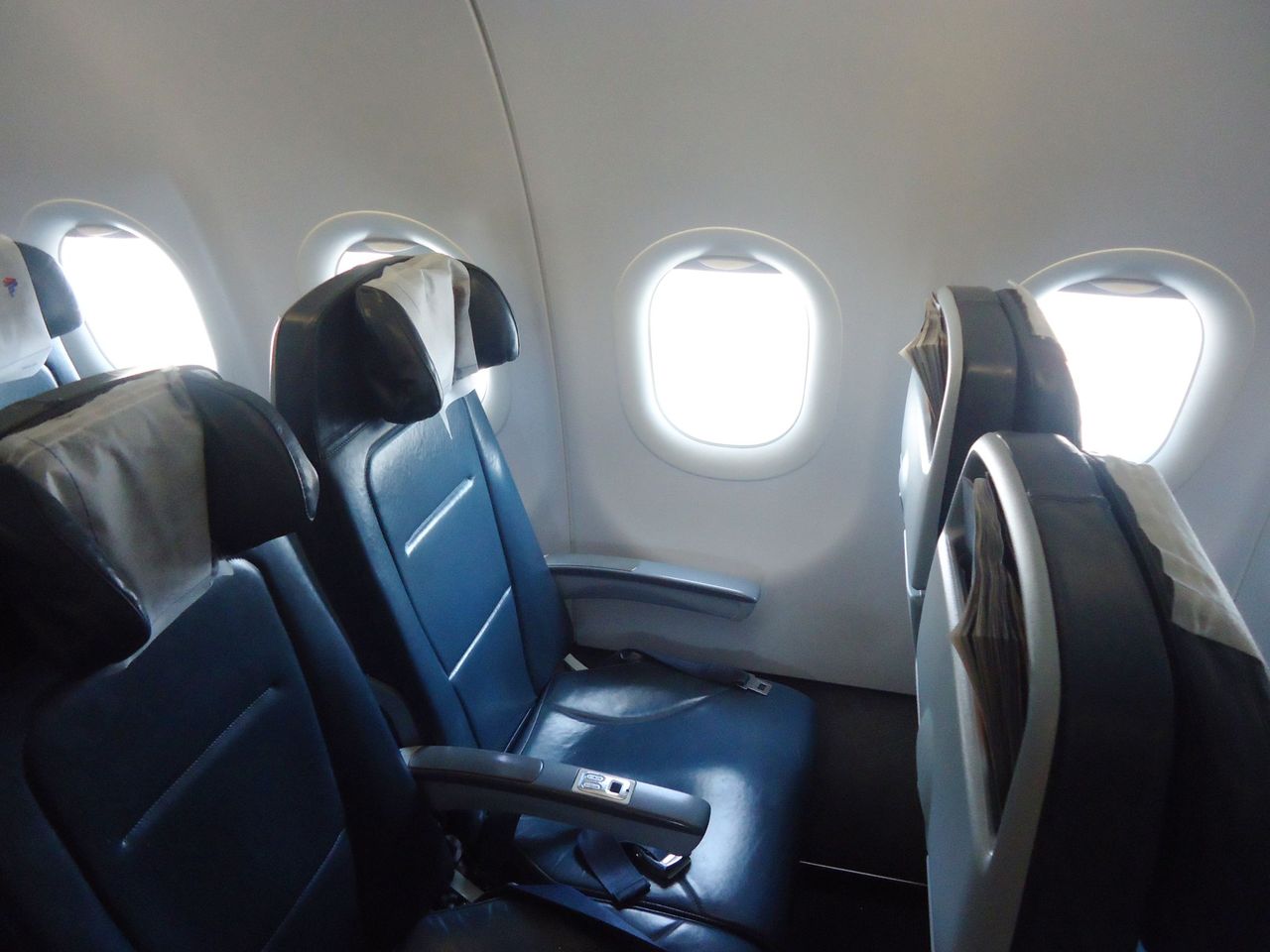
The legroom is OK for me.
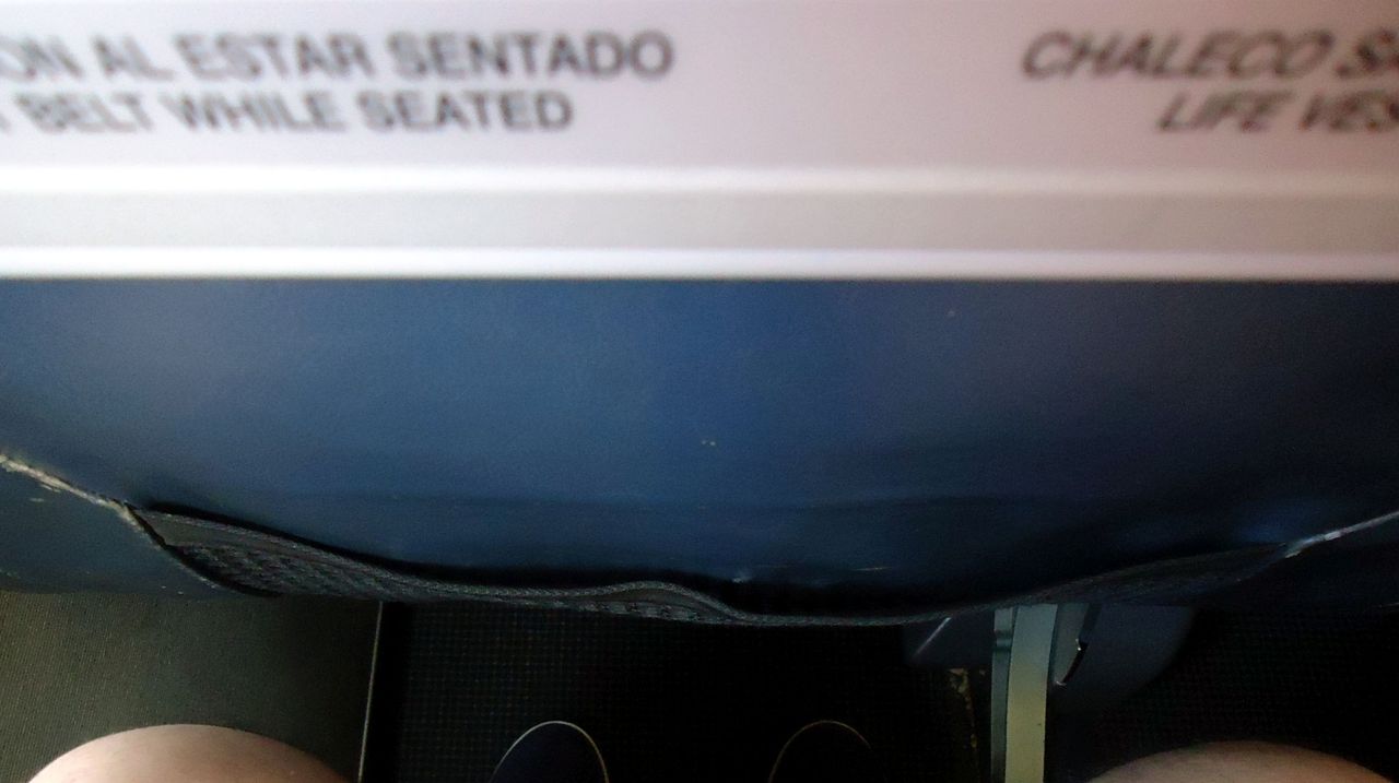
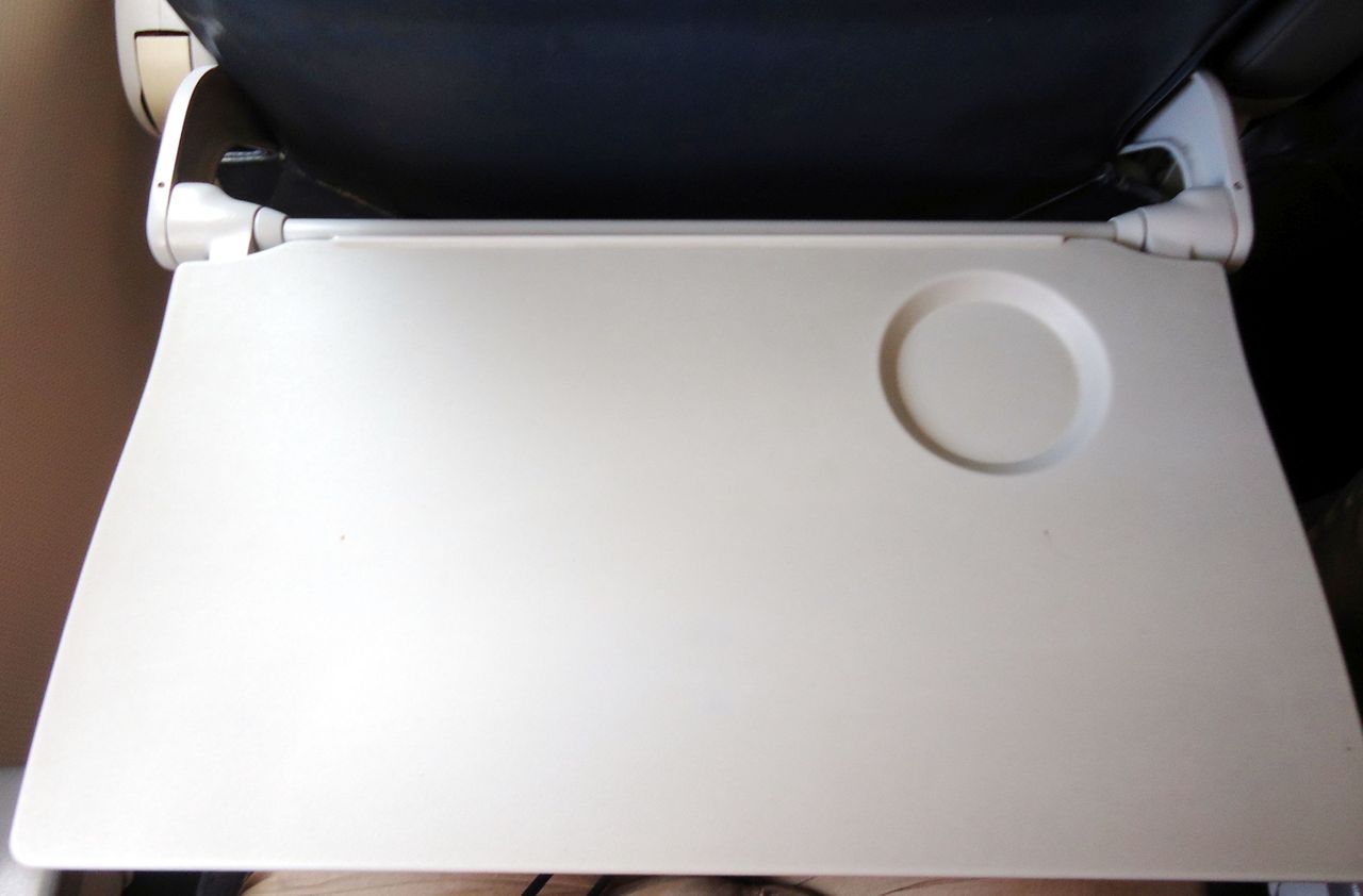
Table tray… clean!
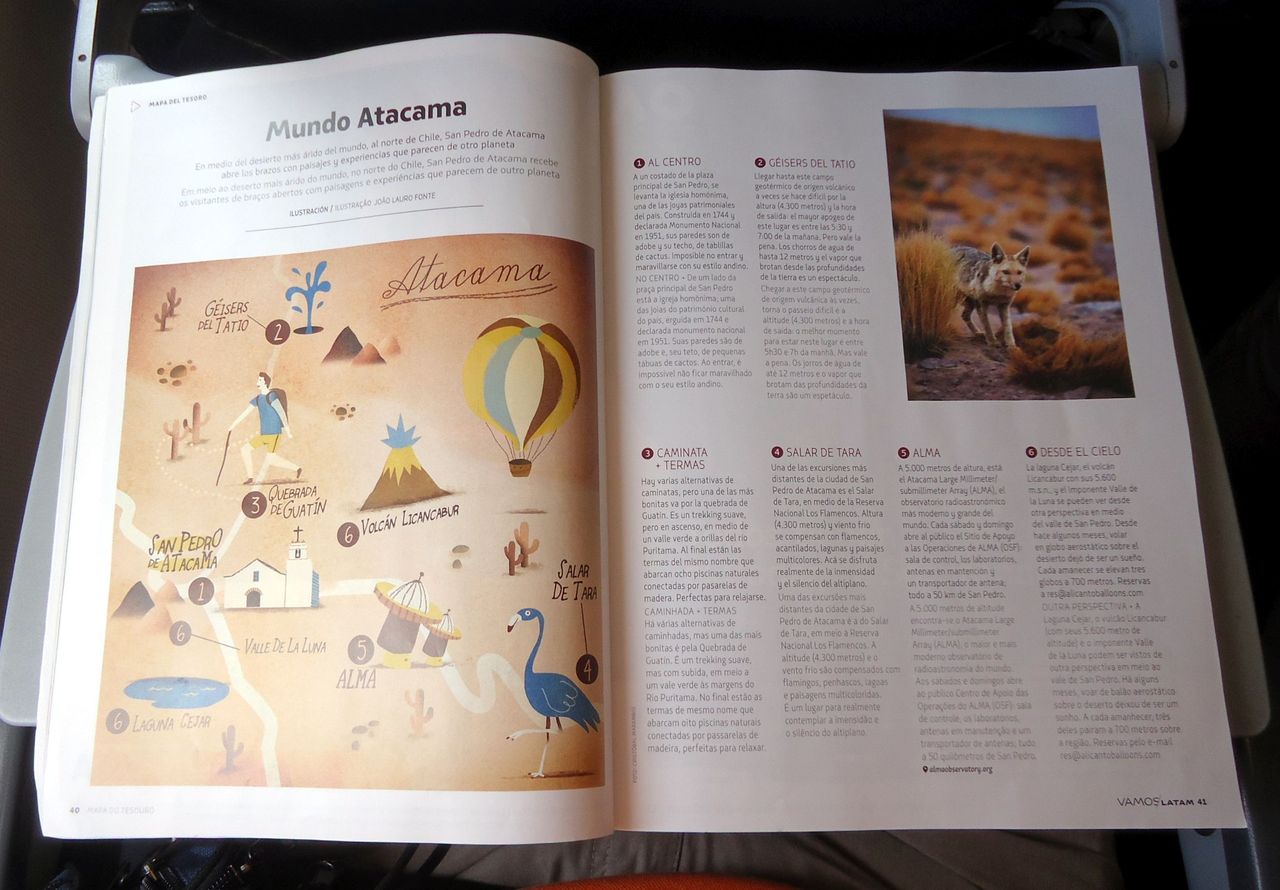
January 2017 issue of LATAM's inflight magazine.
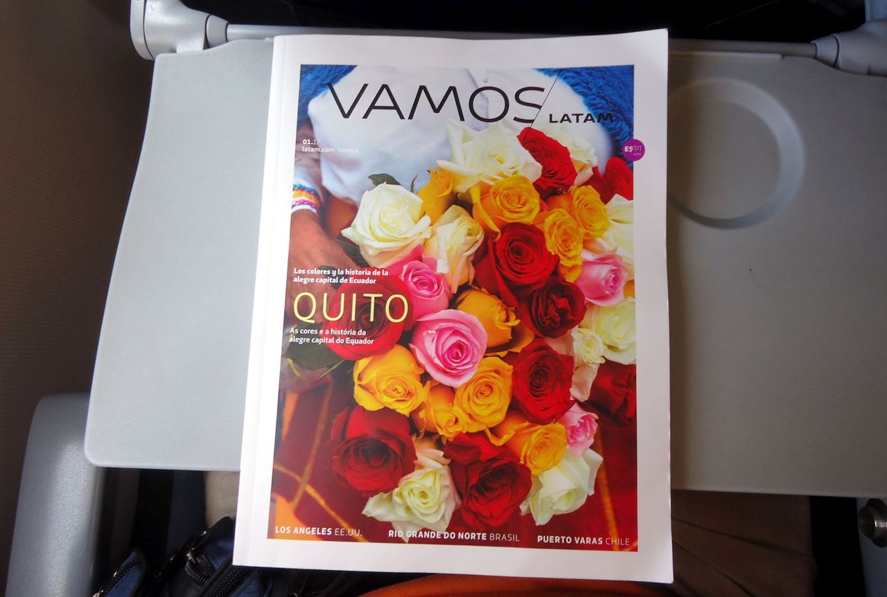
An article about Atacama desert. I'm here! ^^ But the article is about an area some 500km south of Arica.
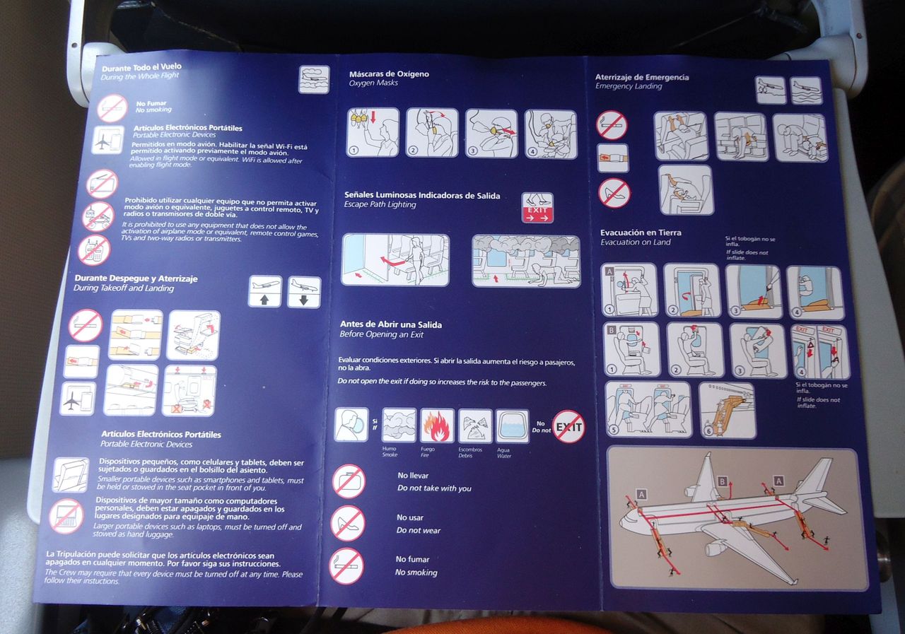
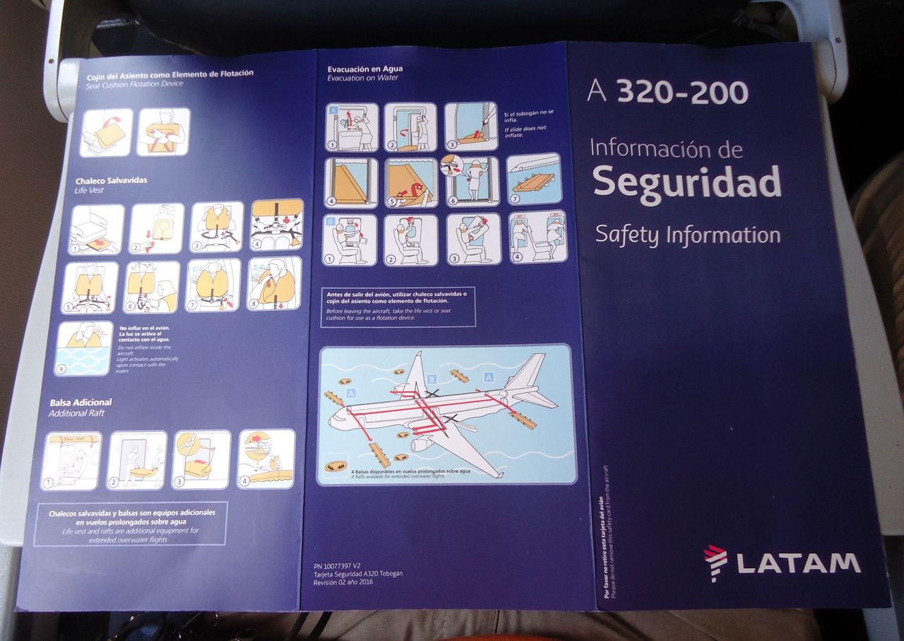
Safety instructions both sides.
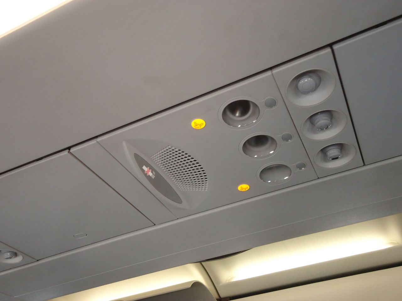
The overhead panel. Hm… could use a little cleaning.
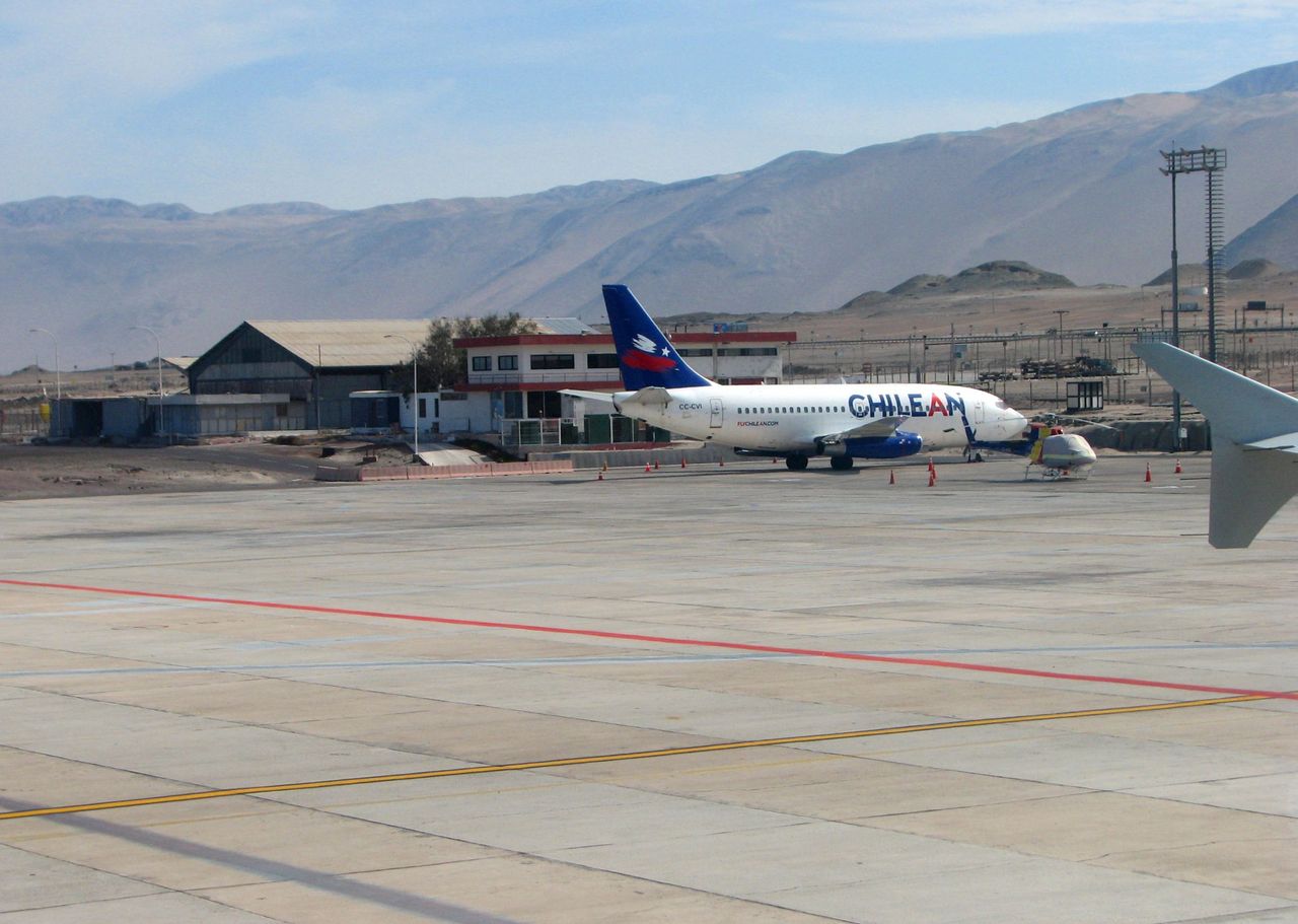
Another LATAM flight to Santiago has parked next to us. They are using the jetbridge! This is unfair!
Too much mate?
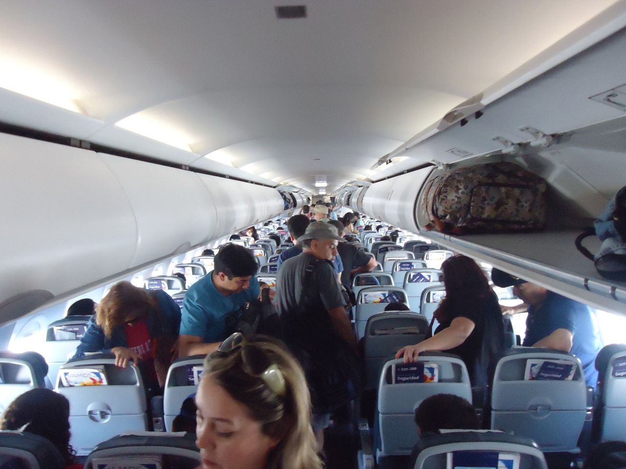
So far so good. I see a number of athletic young men in tight blue T-shirts finding their seats. There's a lot of talking among them and other passengers. There seems to be some problem. I pay attention.
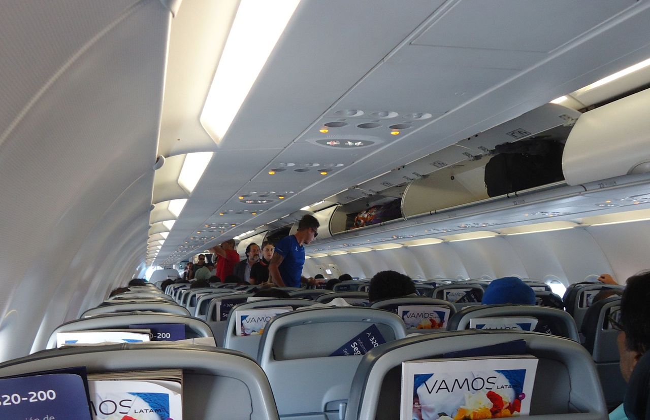
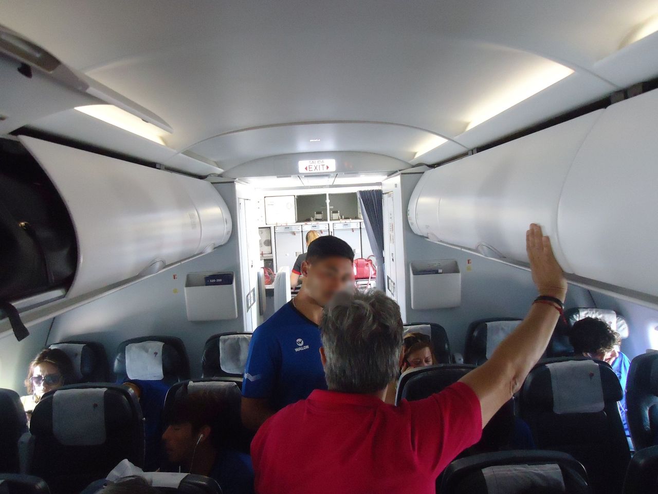
The young men have Argentine accent. They seem to be members of a sports team. One of them has a ticket with the wrong name on it and the FA asks him some questions, but he can't explain what's happened. His friends joke about it and tell the FA to kick him off the plane. After a lot of talking, the FA decides to talk to the captain. They find the man in charge of the group (in the green T-shirt)
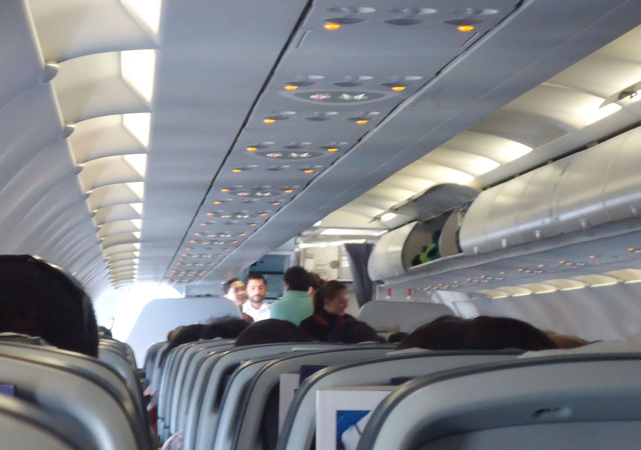
Eventually, the man comes and takes his baggage from the overhead bin. He explains the kids that the tickets were all mixed up, and some team members, including him, are supposed to board the plane parked next to us, and some from the other plane should have boarded this one. How can that happen? I can't explain. But all this confusion puts us behind the schedule.
The flight
At long last, the safety instructions are given manually…
…and we are pushed back.
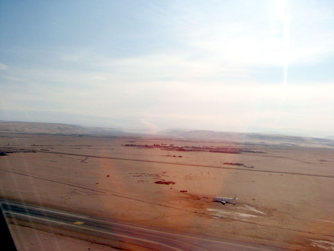
The airport is quite close to the sea.
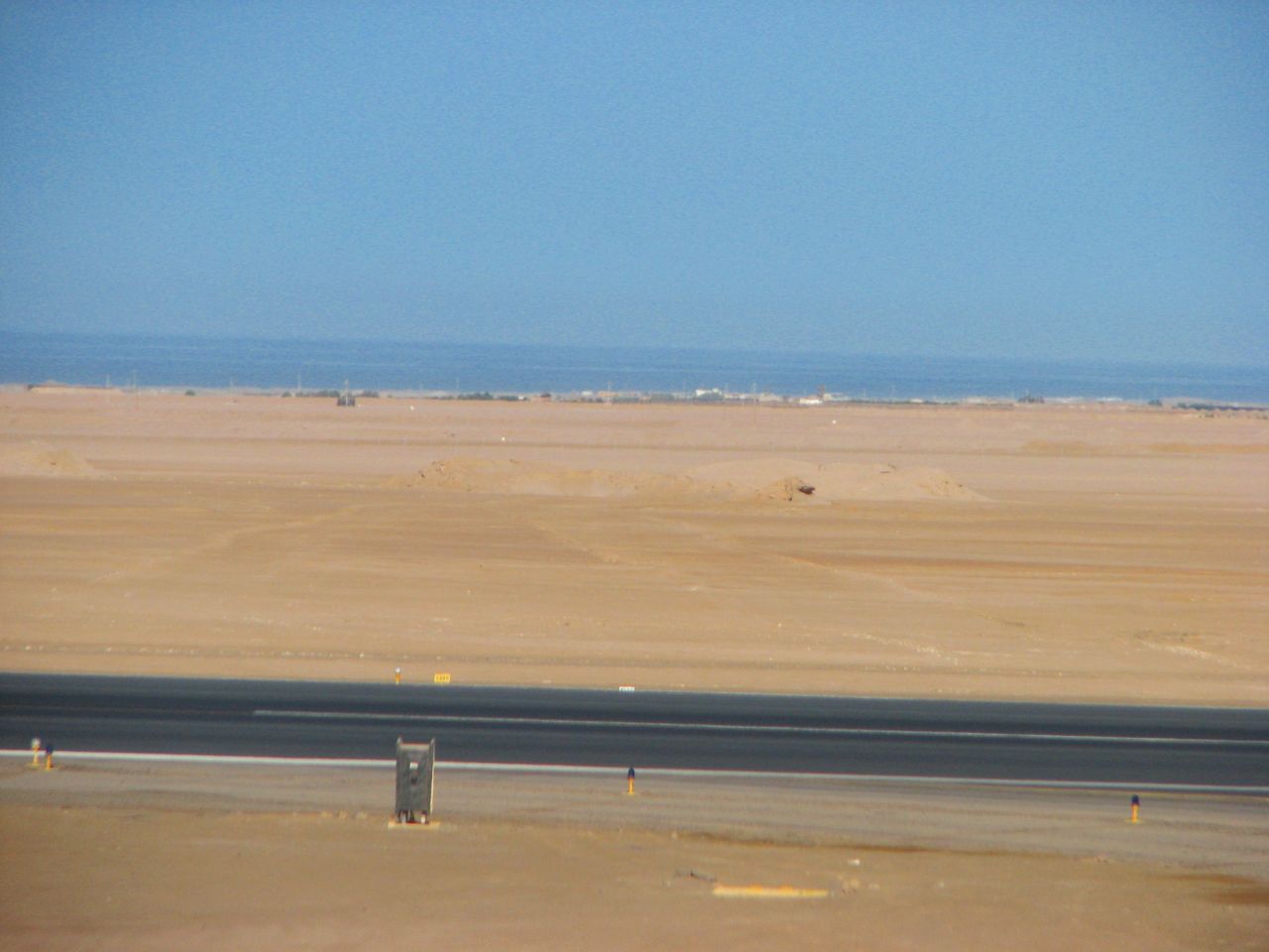
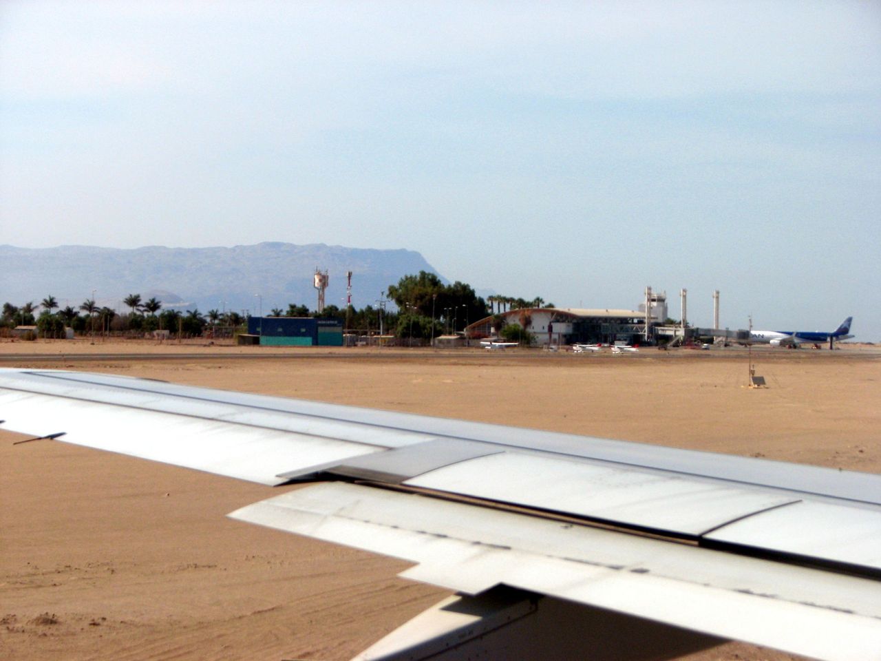
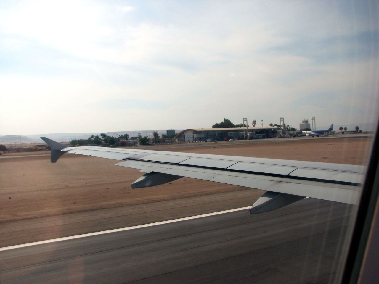
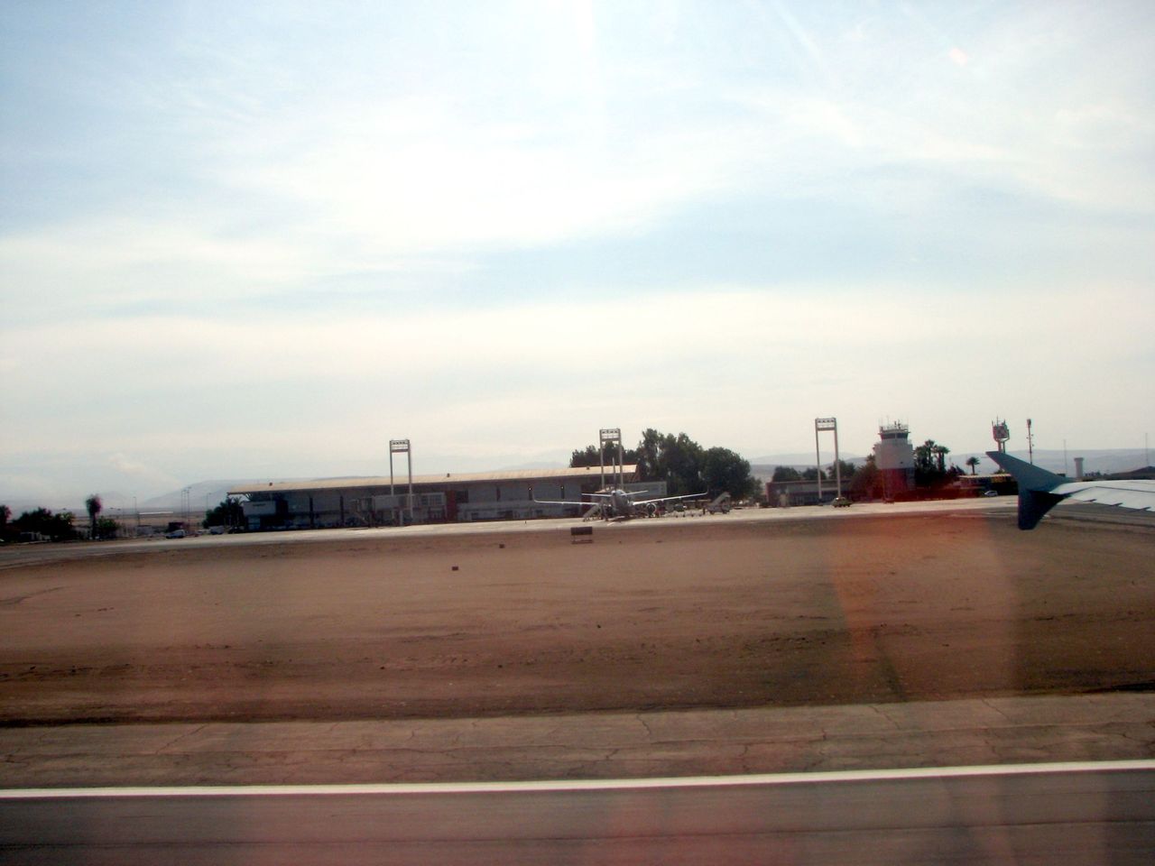
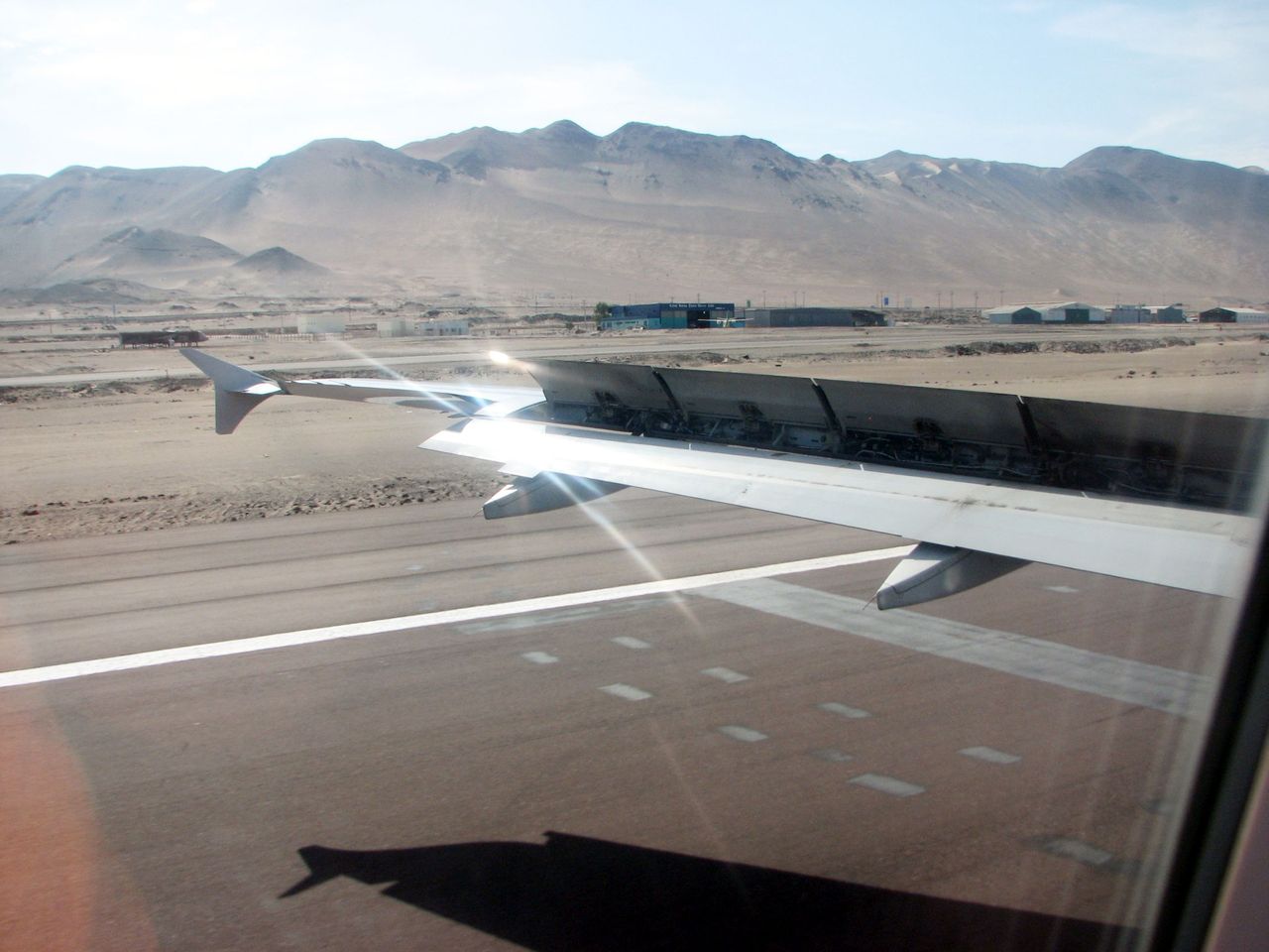
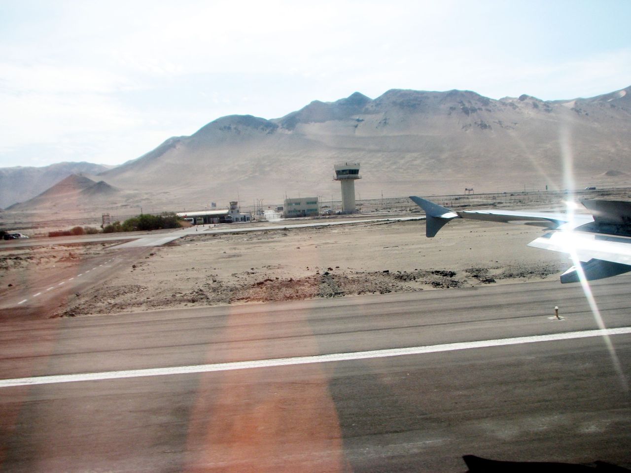
Reaching the runway.
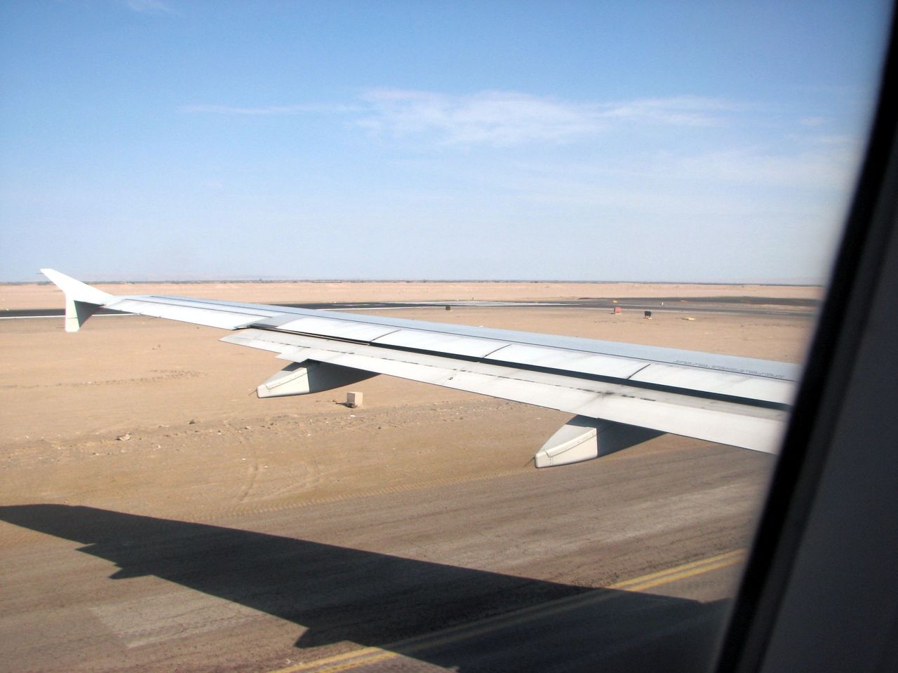
We race along the runway…
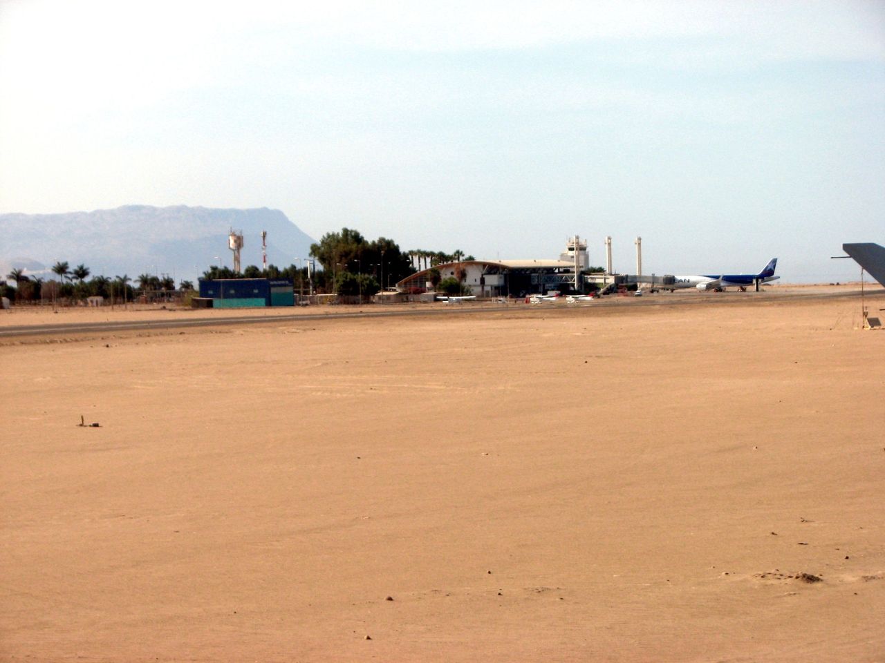
…with a view on ARI.
>
>
Takeoff.
Awww… so sad. It's like abandoning a grandparent! :'''(
We bank a little to the left.
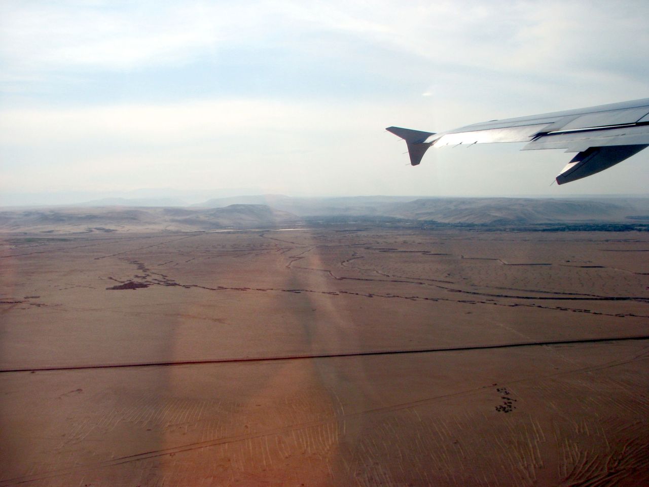
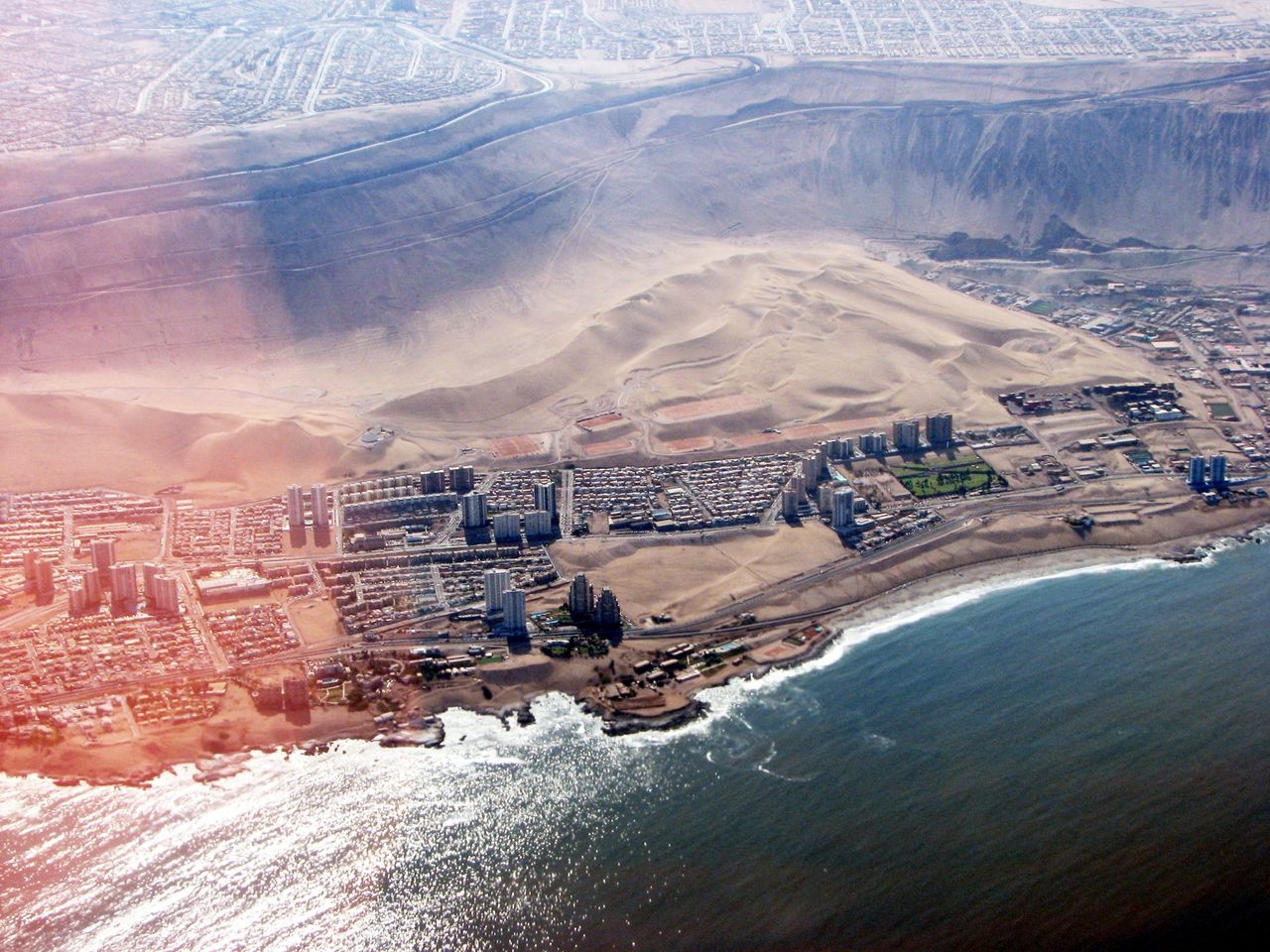
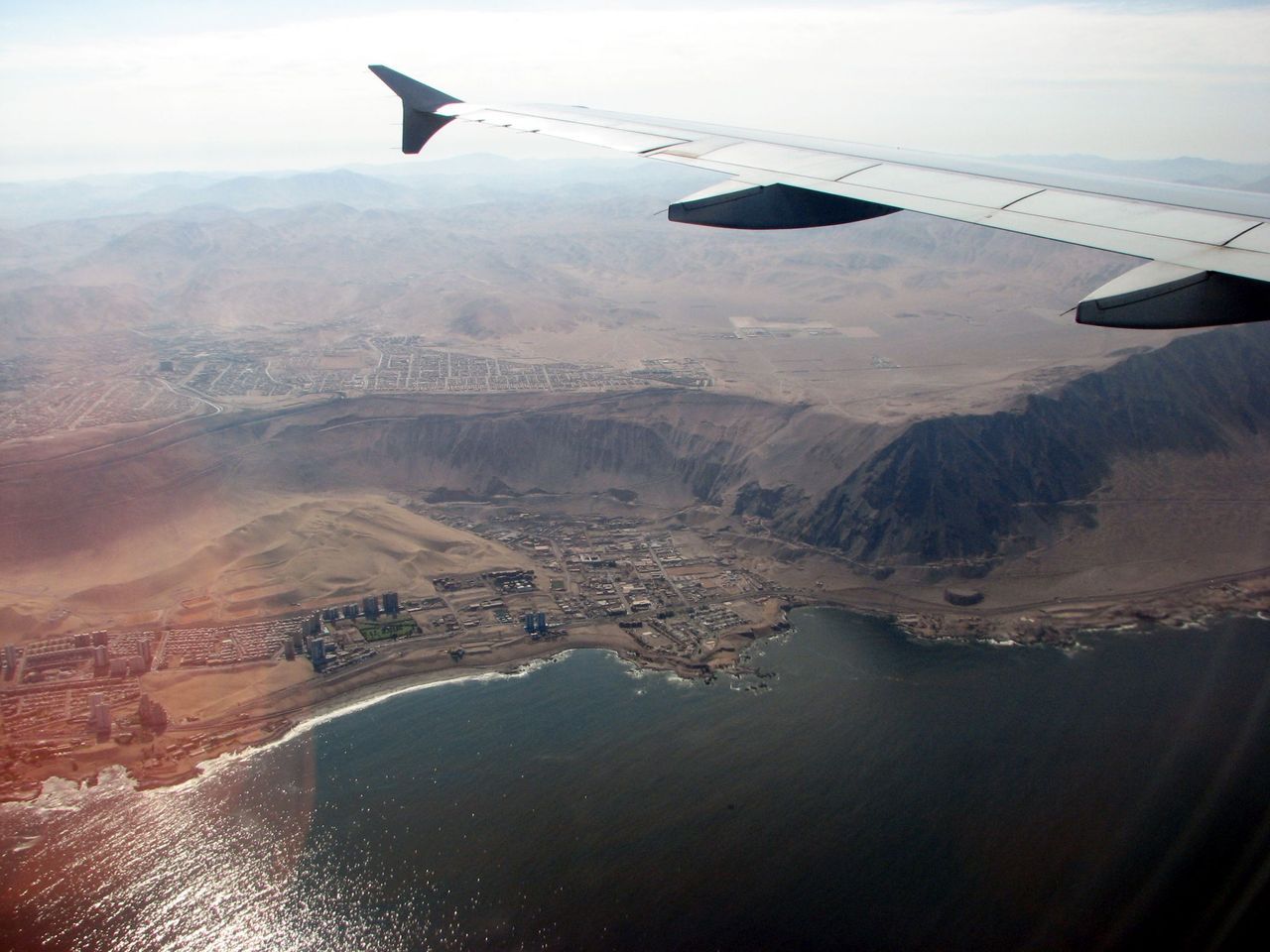
Going south above the shore.
River Lluta.
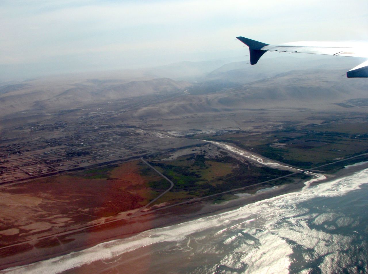
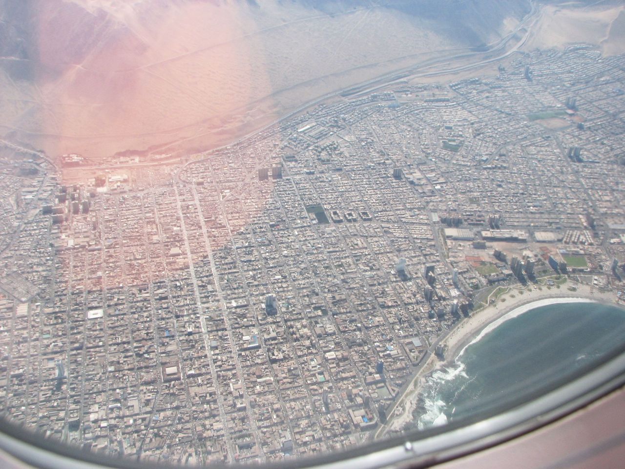
The northern suburbs of Arica.
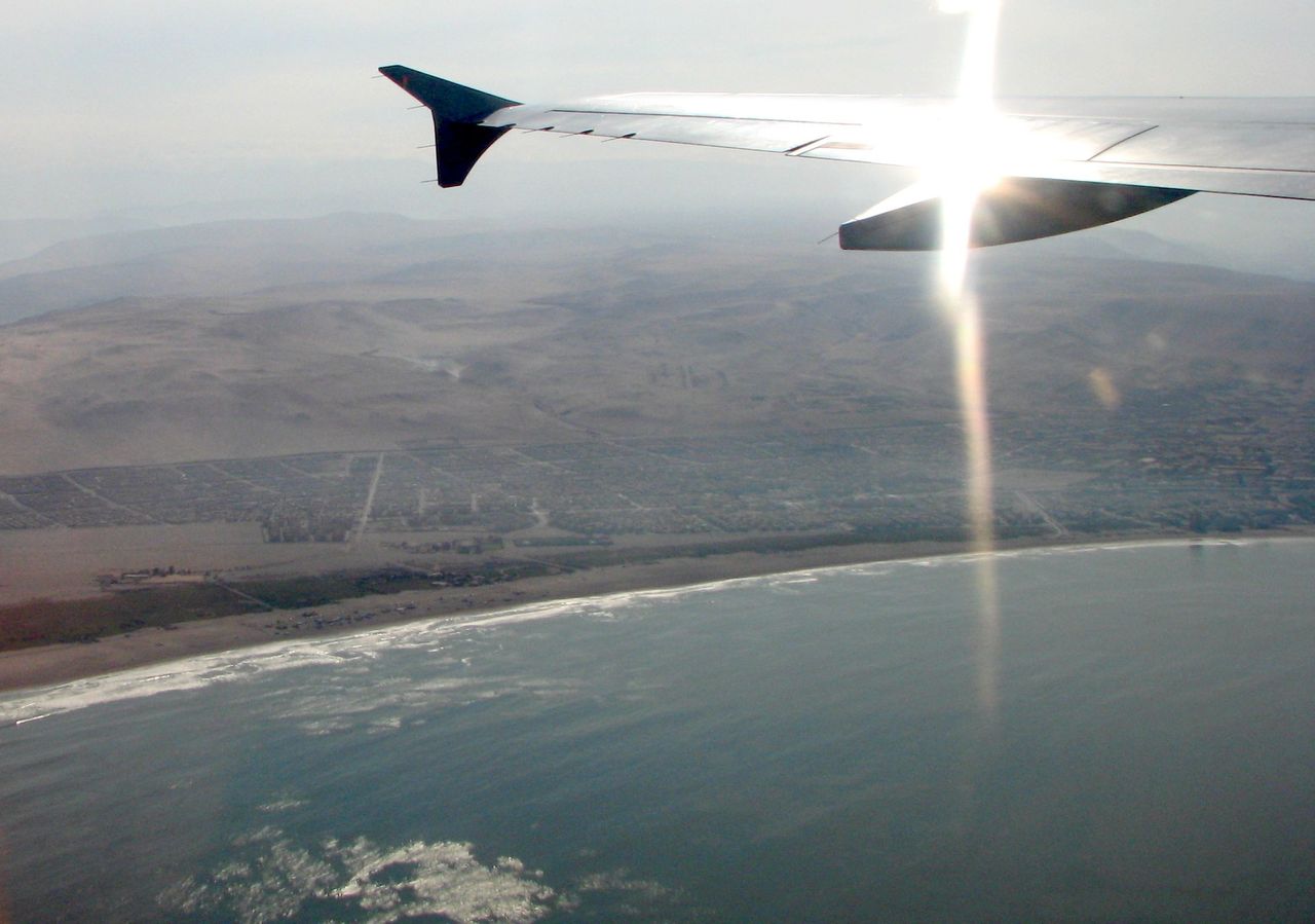
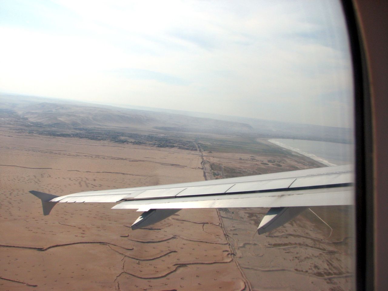
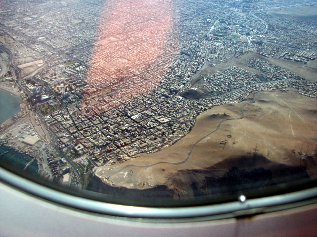
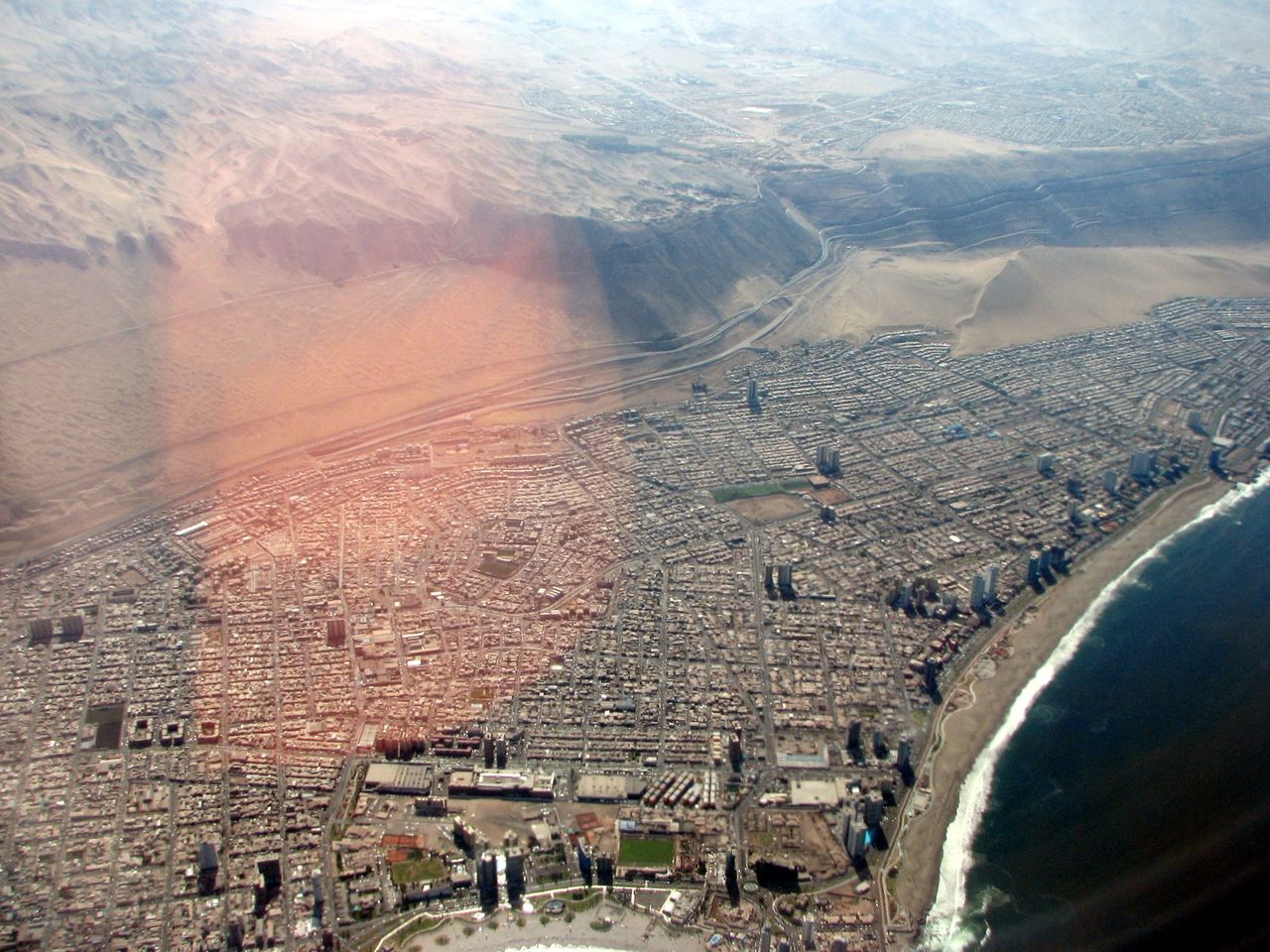
Arica lies at the end of the Azapa valley.
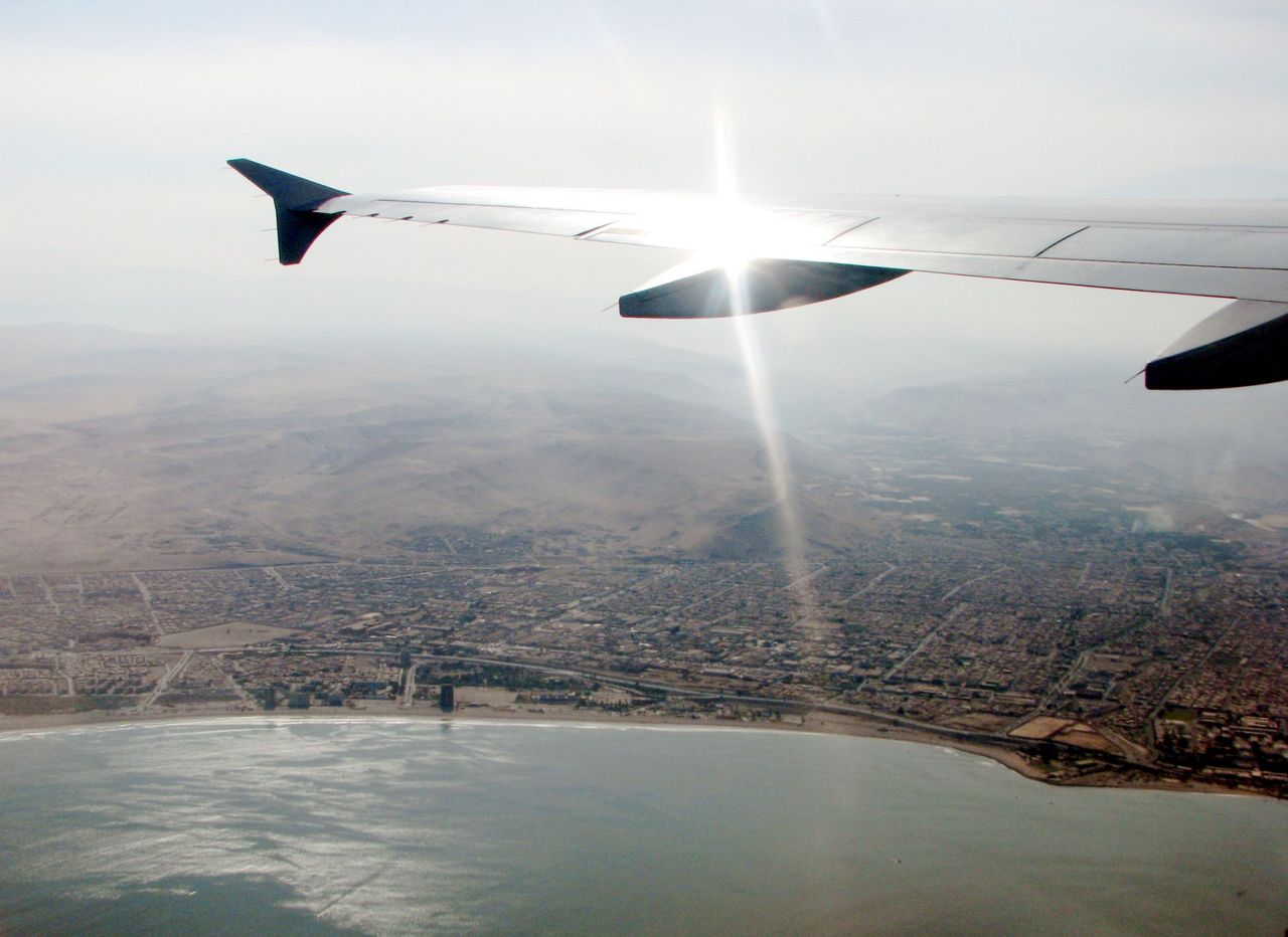
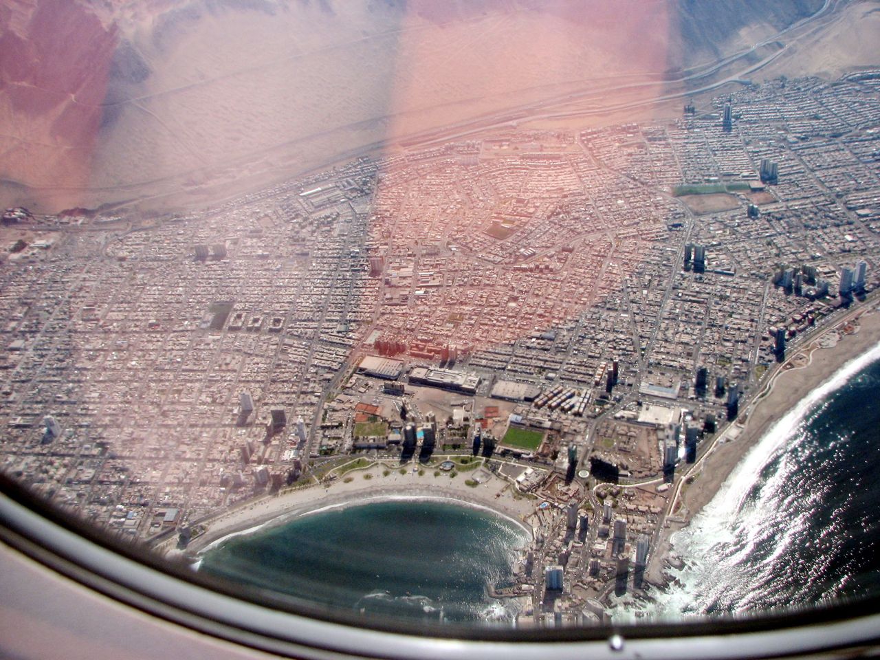
Downtown Arica and the port come into sight.
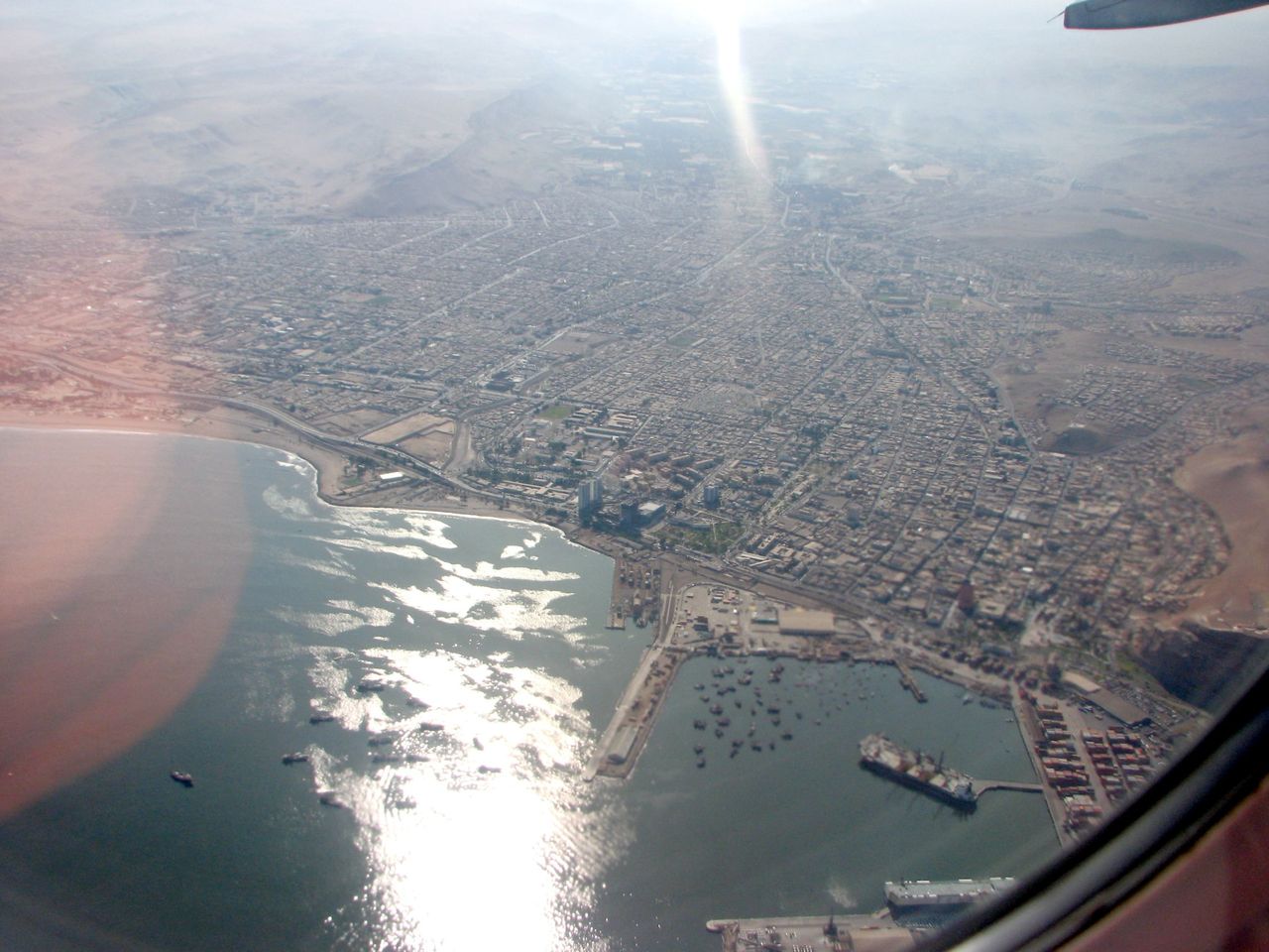
Arica is flanked on the south by a large promontory called Morro. It has some historical significance. There's a museum at the top.
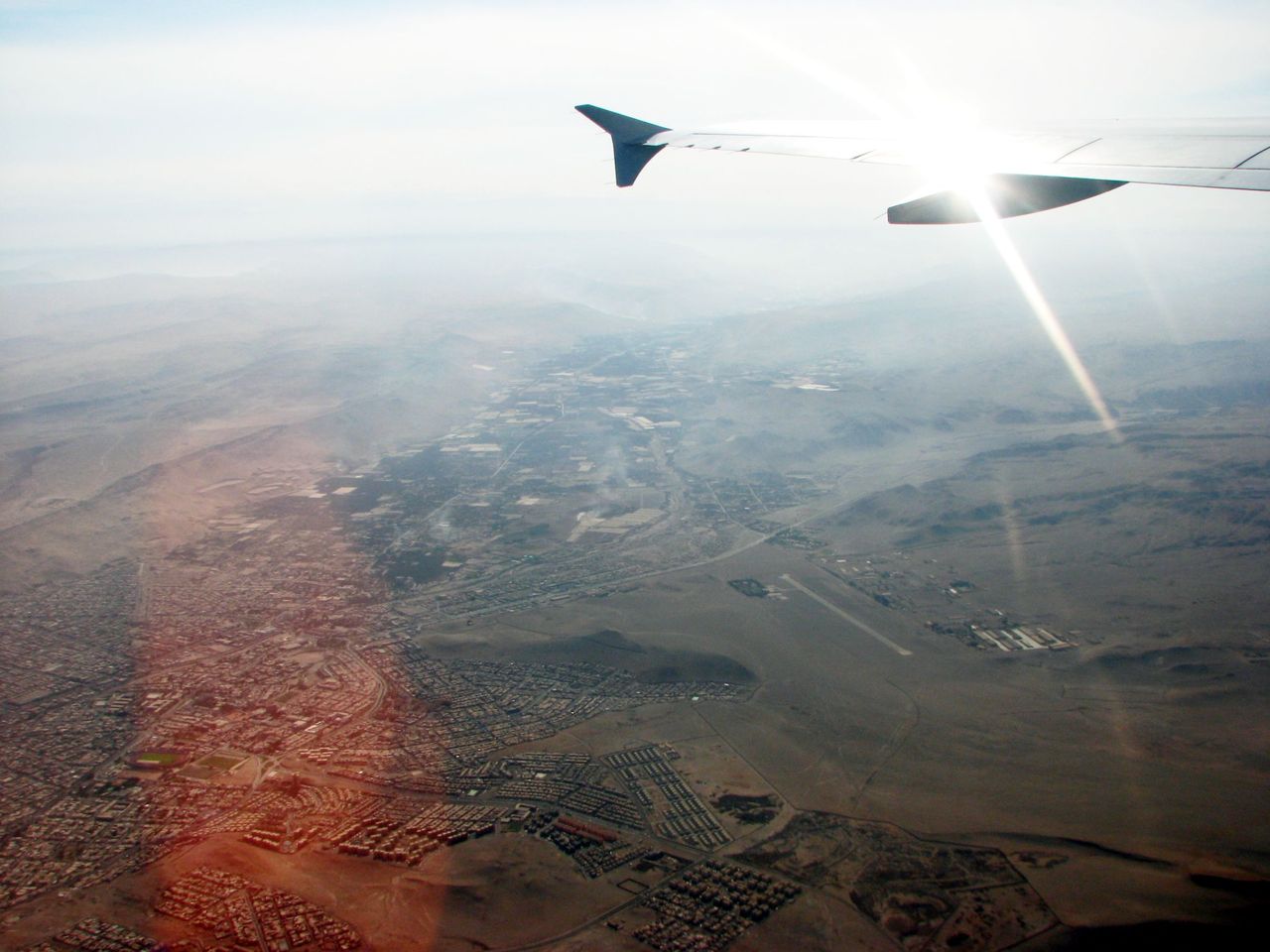
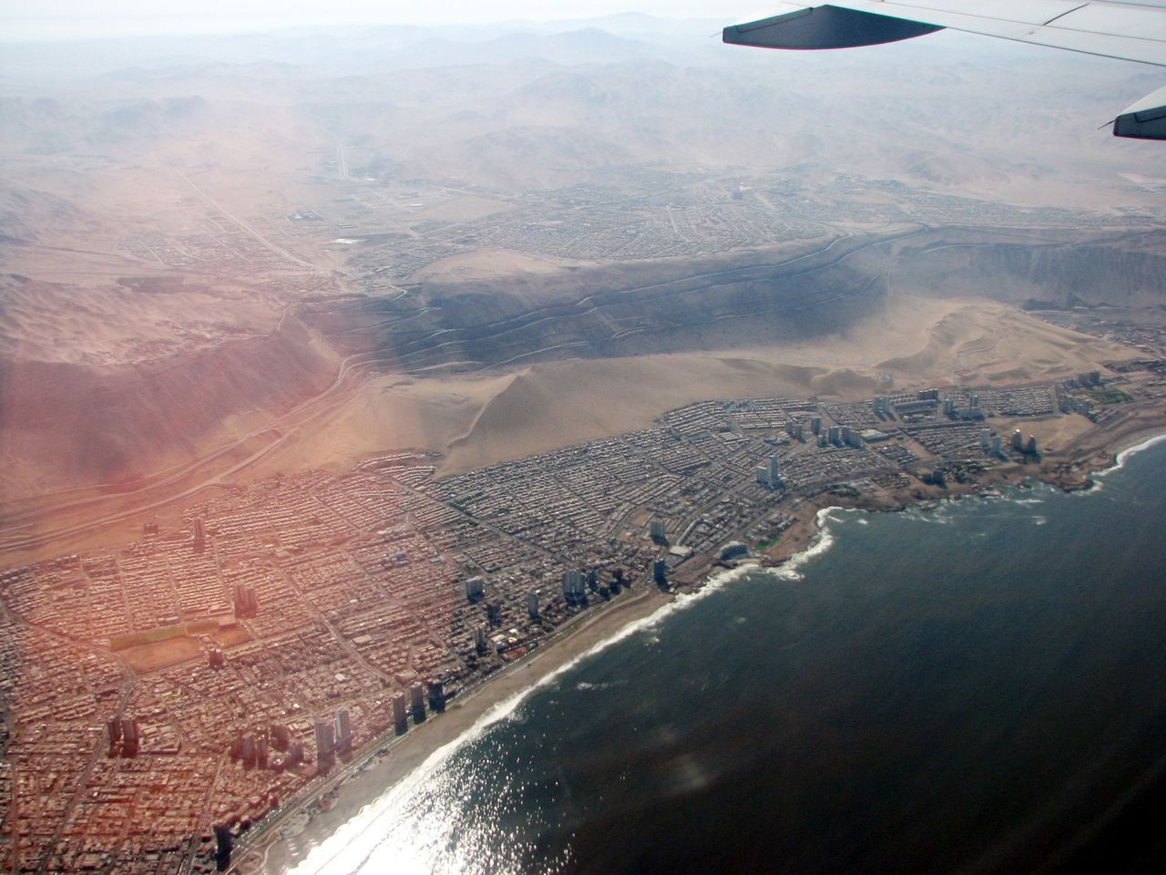
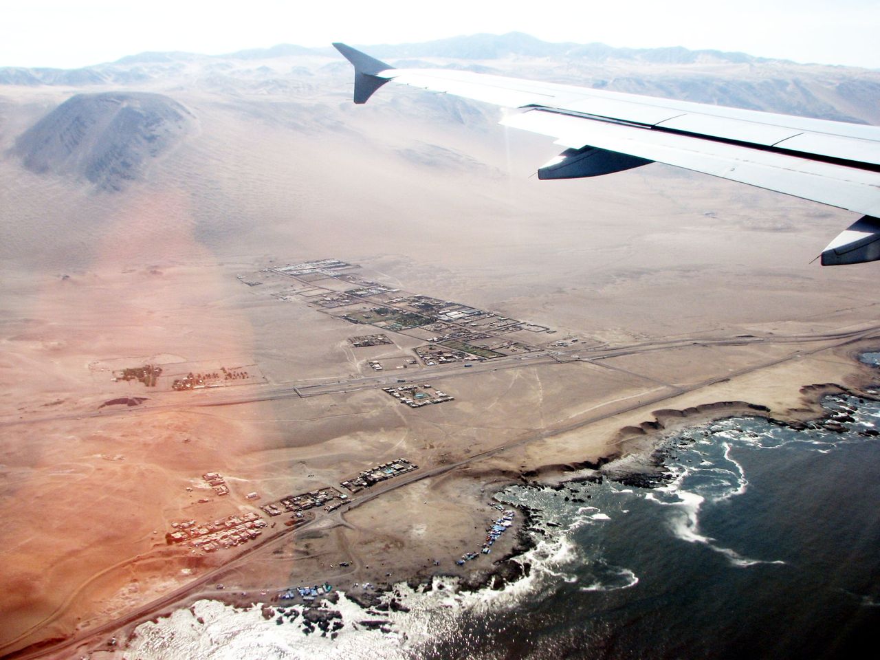
A last view of Azapa valley and El Buitre airdrome. (El Buitre = The Vulture. Ugly name for an airport!)
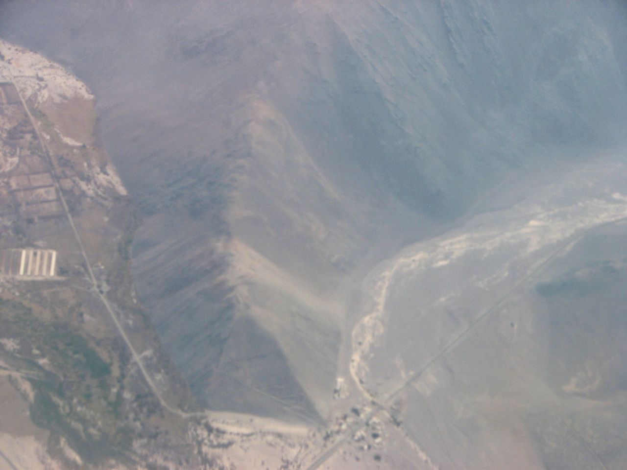
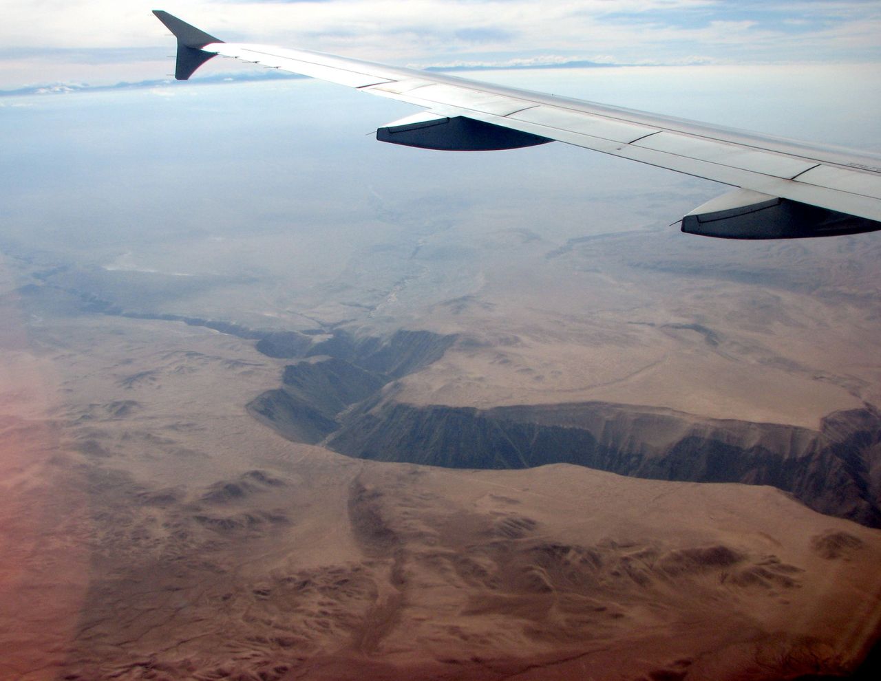
The quebradas that I mentioned in the tourism bonus look equally impressive from the air.
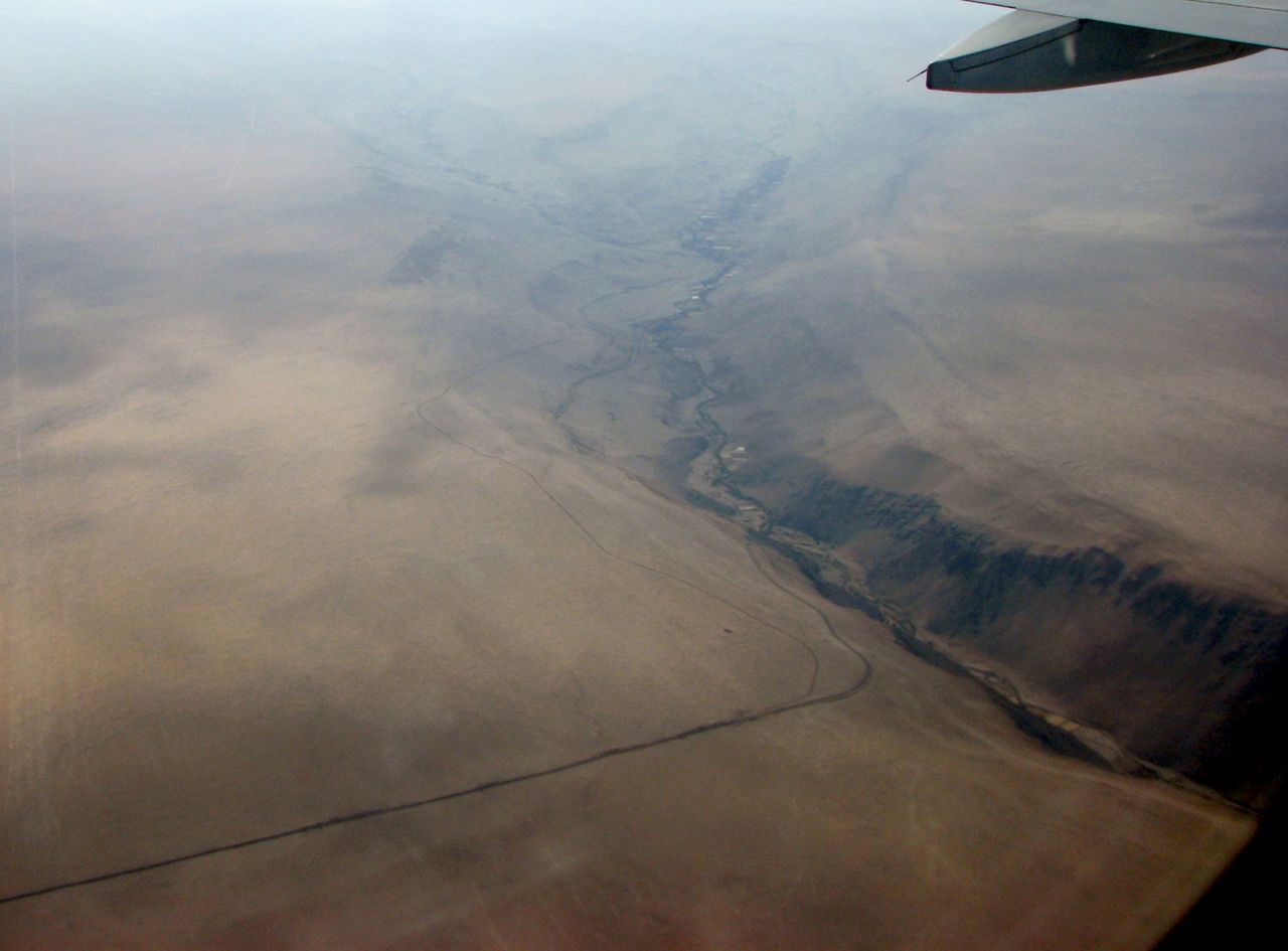
This one is called Vitor. The road on the left is the Panamerican Highway (aka Ruta 5). I came on the bus along that road two days before.
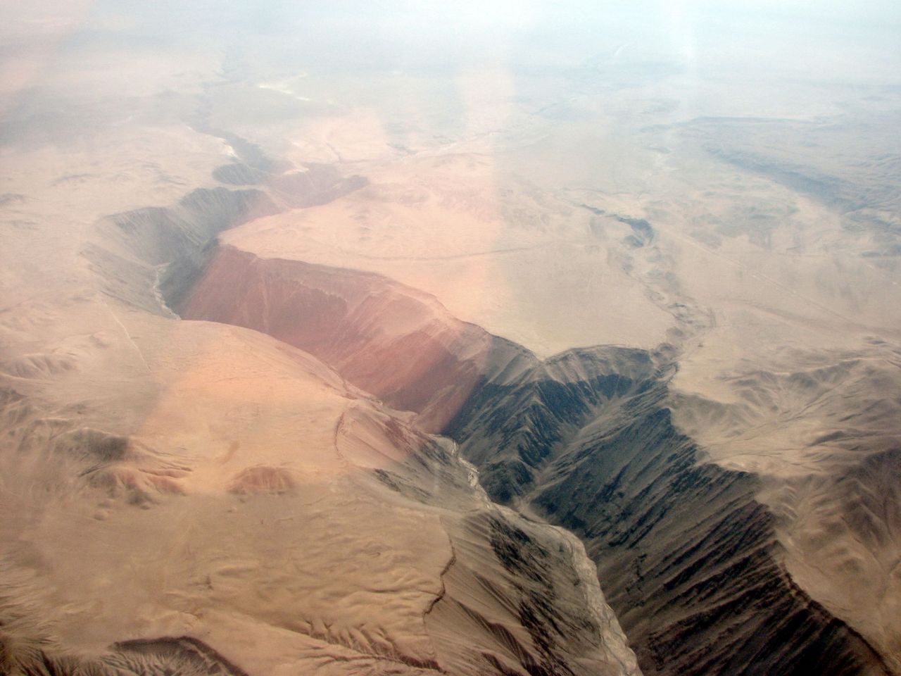
Camarones is the widest and deepest quebrada. You saw photos in the tourism bonus.
Bottom center, the town of Cuya on the Ruta 5.
A FA holds a tray with the menu for such a short flight. Similar to that on my flight from Puerto Montt to Castro in April last year.
Lastly, Tana.
We start our descent.
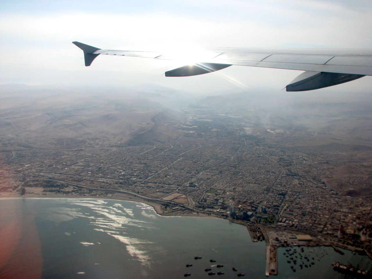
The north tip of Iquique hosts lots of importing companies and warehouses. Iquique is a free trade zone.
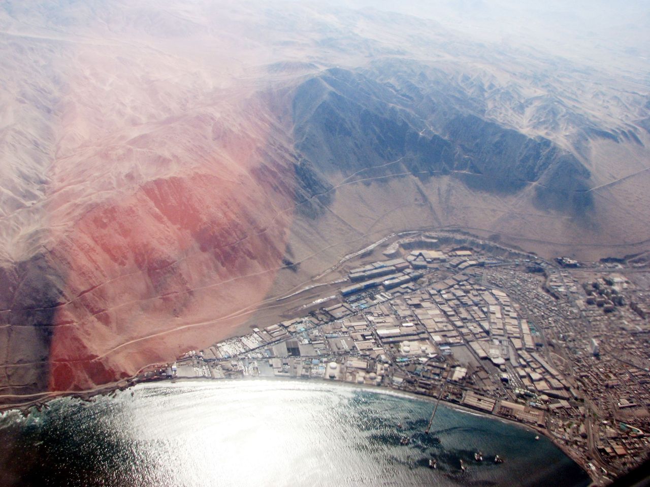
The northern residential area.
Cavancha beach, where you can swim.
Brava beach, where swimming is not allowed.
Both beaches are separated by la península. Lots of pubs and restaurants there.
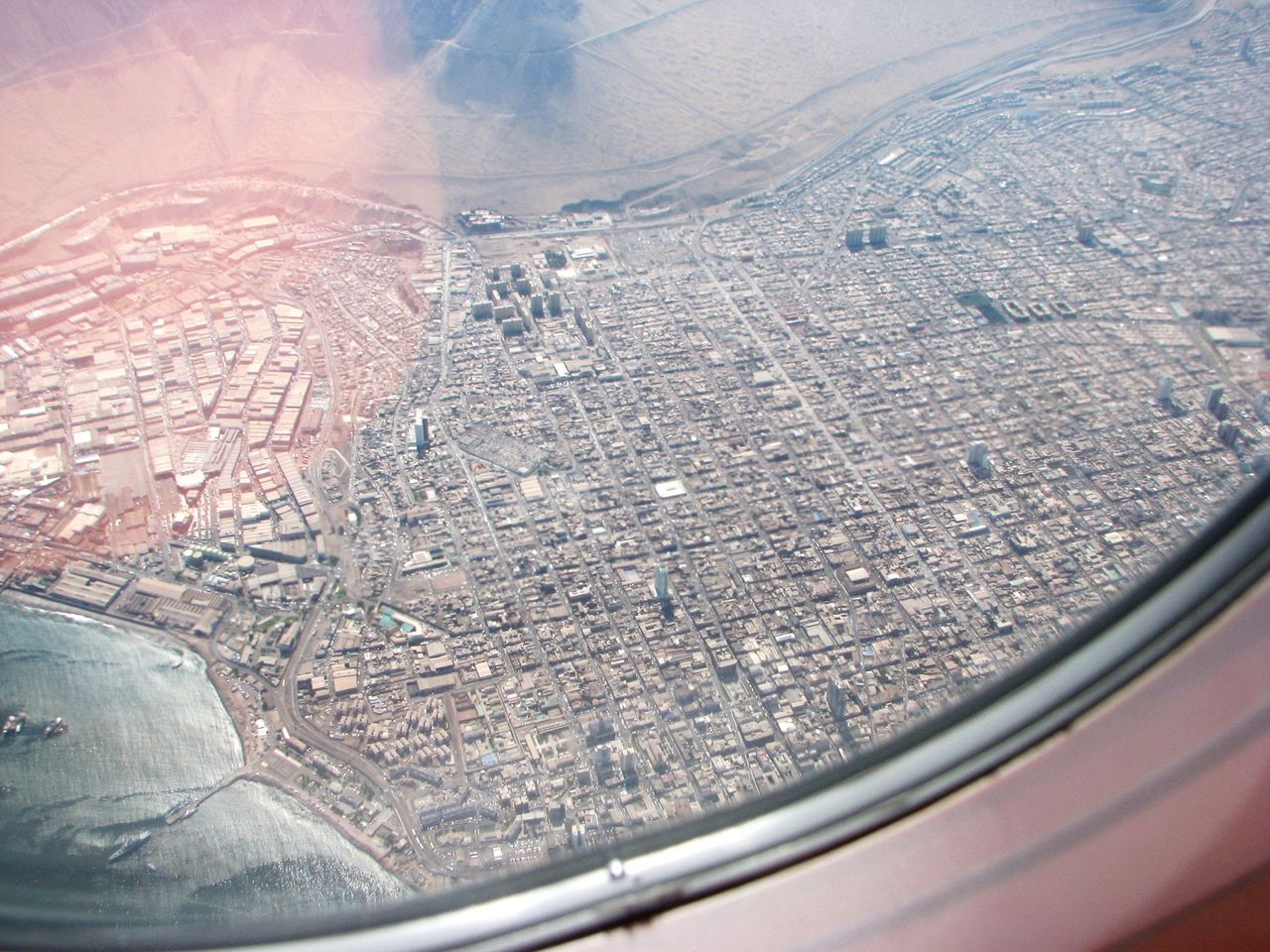
That neighborhood behind, at the top of the cliffs surrounding Iquique, is called Alto Hospicio. It used to be called Chile's largest shanty town. Because of the high prices of housing in Iquique, people used to build simple houses there, without any planning or basic services, until a psychopat raped and killed 14 women there, between 1998 and 2001. After that, the authorities tried to turn Alto Hospicio into a safer place. It's not such a bad place now. There's good infrastructure and a lot of housing developments.
The south tip of the city.
The road leading to the airport.

Camping on the beach.
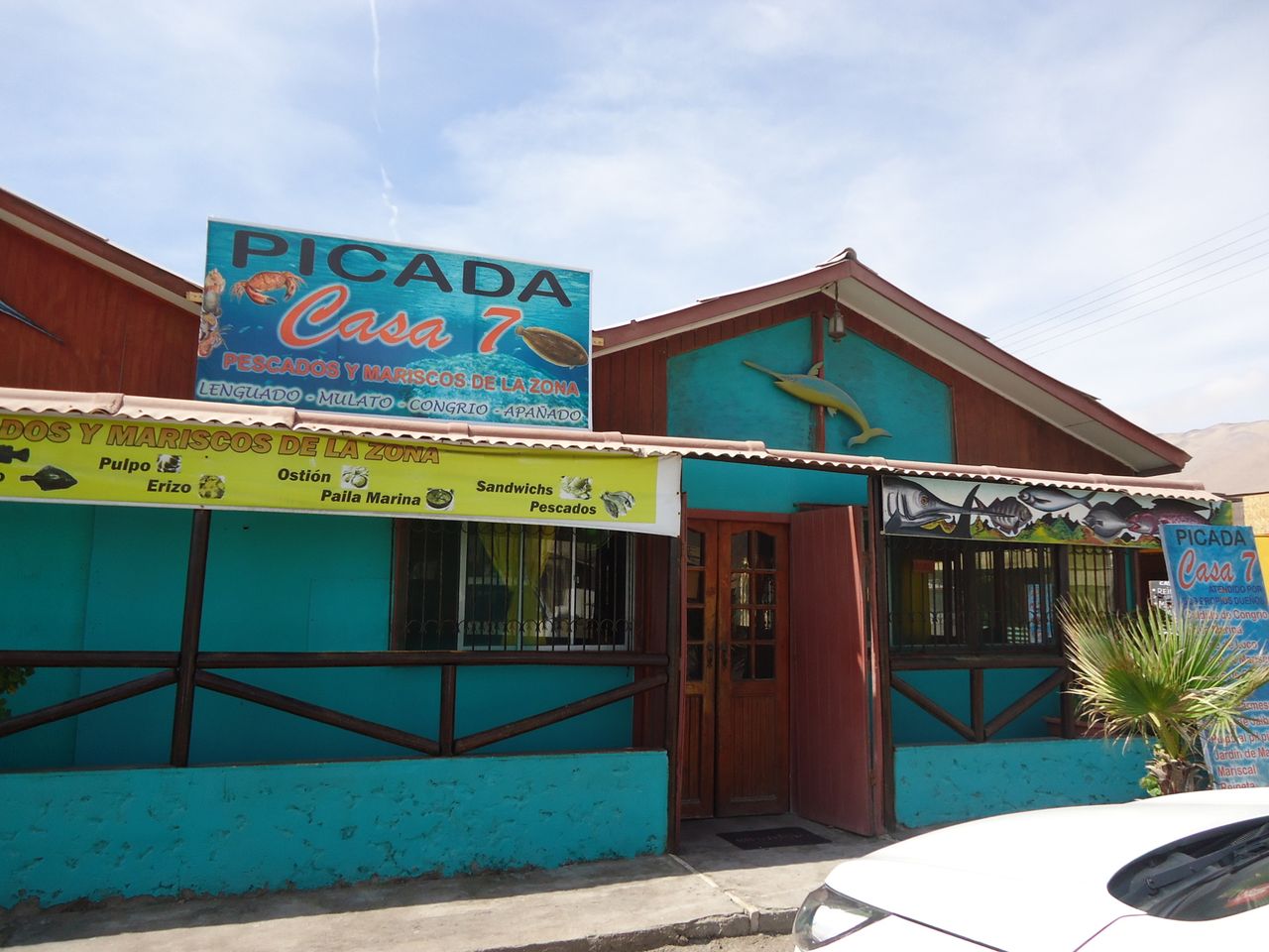
Caleta Los Verdes. Great seafood restaurants here!
By the way, I went to this restaurant in Caleta Los Verdes: Casa 7 ("Picada" means a specialty restaurant with very low prices)
Not only do they have fantastic seafood…
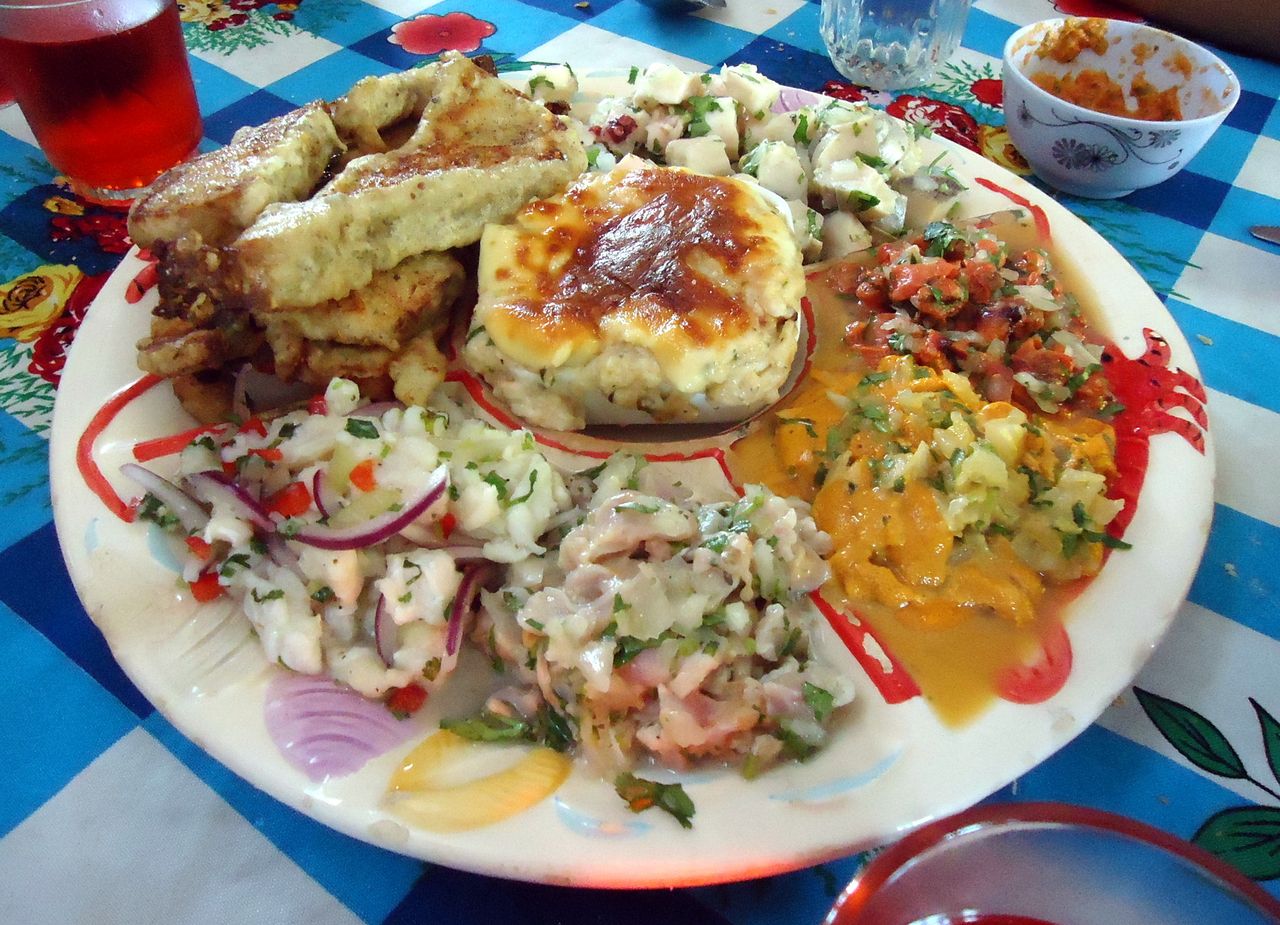
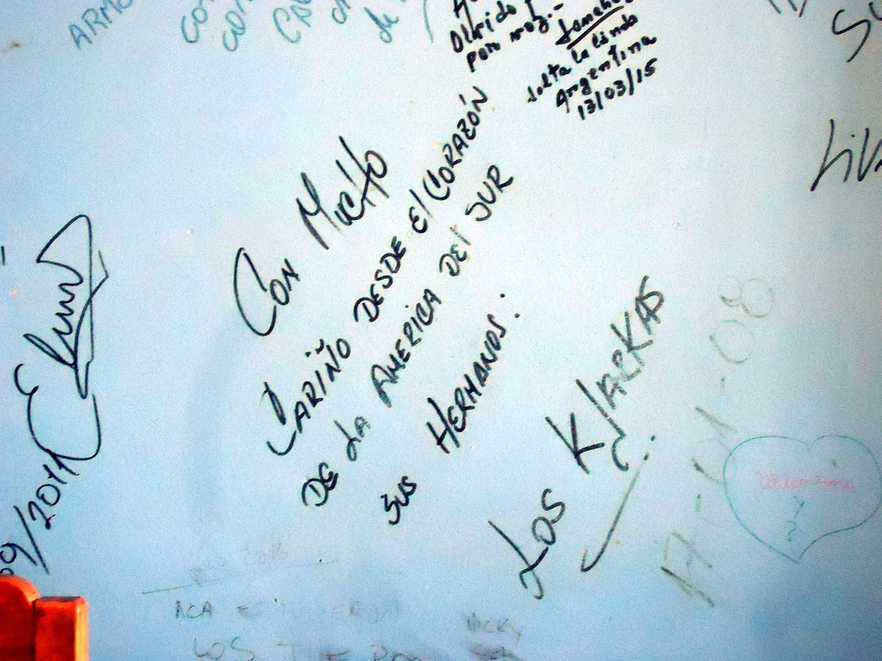
…and have been visited more than once by reknown artists like the Bolivian folk music group Los Kjarkas.
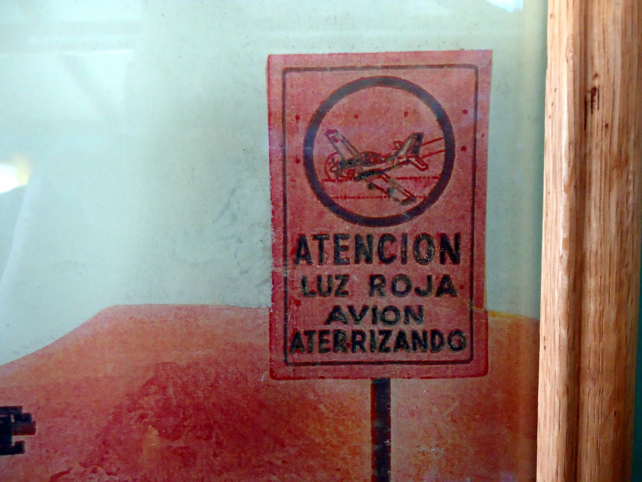
Something catches my flight-reporter's eye: this picture of a landing airplane on the wall. This plane was landing in what is now the center of Iquique! The runway crossed a street. A red light warned drivers that a plane was landing!
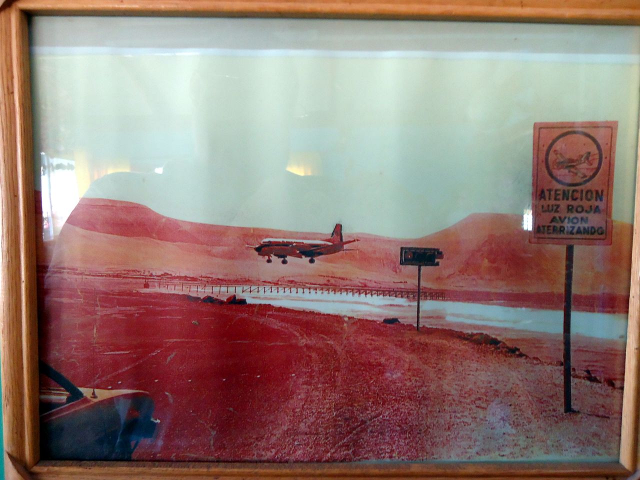
The sign reads Attention, Red Light (means) Landing Plane. I wonder how many airports in the world have traffic lights!
Touchdown.
I have to fly Línea Aérea Costa Norte some day.
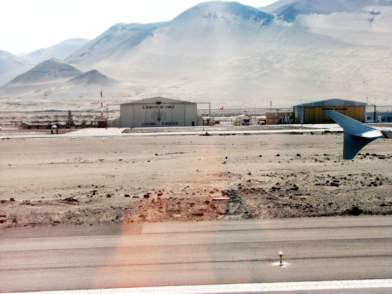
Chilean Army.
Control tower.
Here at last.
IQQ terminal.
737-200 CC-CVI
Pulling into the gate.
Everybody stands up. At first I think they are letting some passengers out…
…but almost all of them are getting off here! Not many passengers from Arica continue to Santiago. No wonder. They know that flying is safer, and the price for this flight was dirt-cheap: 12000 CLP (18 USD)
Continuing with the confused Argentines, the couple sitting next to me stand up to let me out. One of the adults travelling with the team (this one in the red T-shirt) kneels on my seat and starts talking to the kid sitting behind. The couple wait and wait. I hear them say Sorry, sir. These are our seats and we have to sit again. He looks startled and apologizes. I roll my eyes.
Disembarking.
Aahhh… so much better than in Arica. The weather is perfect!
Last look at CC-BAV.
I love these glass walls!
We emerge at the boarding room. There, on the left, is a cellphone charger that I didn't see before!
And there's another one over there, on the right.
Down to…
…baggage claim.
I get my bag in five minutes…
…and leave the airport for a week of relax, sunshine, and kilos of mangoes, guavas, and passion (fruit)
Thanks for reading! ^^
Wow! Fantastic trip report with awesome road trip pics. That llama looks really photogenic :D
Thanks for sharing!
Cheers!
Thank you very much, Thurya! You're right. Coque is very photogenic. However, I hope he will not read your comment because he is an alpaca, not a llama. He might take offence. ?
Thanks for reading! :)
LOL... Sorry for my ignorance. Living in exact opposite side of the world, I have little knowledge of fauna in South America... ;) and I have missed the paragraph where you have introduced him. duh! :D
Thank you for sharing your flight experience, and the very interesting bonus. The Atacama desert is one of my favorite place on earth!
Hi, flywunala!
I'm happy to hear this is one of your favorite places. My next report (Iquique - Santiago) will include a bonus about Pica, an oasis in the middle of Atacama. Stay tuned! :)
Thanks for your comment!
I cannot wait ! In the meanwhile, please check my (modest) FR Sucre-LaPaz where I have inserted some bonus picture of the Atacama Region....
http://flight-report.com/en/report/10322/AeroSur_5L_125_Sucre_SRE_La_Paz_LPB
Hi, flywunala!
I'm happy to hear this is one of your favorite places. My next report (Iquique - Santiago) will include a bonus about Pica, an oasis in the middle of Atacama. Stay tuned! :)
Thanks for your comment!
Hola Nechus, just read that Amaszonas will soon operate ARI-IQQ. See below (source is AirlineRoute) Bolivian carrier Amaszonas at the launch of Northern summer season plans to add a number of new domestic routes in Chile, including flights to/from Iquique. From 27MAR17, planned new service as follow.
Iquique – Antofagasta – Copiapo – La Serena
Z8530 IQQ0930 – 1020ANF1050 – 1150CPO1220 – 1305LSC CRJ D
Z8533 LSC1410 – 1455CPO1520 – 1620ANF1655 – 1745IQQ CRJ D
Iquique – Arica
Z8520 IQQ0700 – 0745ARI CRJ x7
Z8533 IQQ1815 – 1900ARI CRJ x6
Z8530 ARI0815 – 0900IQQ CRJ x7
Z8529 ARI1920 – 2005IQQ CRJ x6
hi there!
That's right. I read about it somewhere, and roumor has it, they are planning to open routes south of santiago, too.
It was high time, since Chile is falling behind other countries regarding domrstic flights. LATAM keeps its monopoly, and its only competitor so far is Sky Airline, with a small percentage of the market.
Another airline, Latin American Wings, will also start a the Concepcion - Santiago route in March... and I already have a ticket!!
2017 will sure be a busy year for this flight-reporter!! XD And for my cousin in Iquique, who will have to host me for some days again.
The views are stunning! Thanks for such a great photos!
Glad you liked the views. Thank you, Loukas!
Excellent report!! The views left me speechless, and the cars alongside the road add a creepy atmosphere to the trip. Coque is so cute!! ARI looks like a very clean and peaceful small airport. Saludos!!
Yes. Creepy is the word! Also nerve-wrecking and horrifying. I never feared for my life like this before. This is proof that flying is much safer than driving!
Thanks for reading. :)